Ski Areas > Northern Alps > Belledonne > le Fond de France
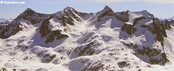
Le Fond de France is at the top of the Haute-Breda valley en-route to Pleynet side of the Les Sept Laux. The valley is reached from Allevard via the D525a road. Physically close to the big agglomerations of Grenoble and Chambèry, at least as the crow flies, the Haute-Breda remains retains a wild beauty, a land of savage peaks stretching to nearly 3000 meters and verdant, scented pine forests traversed by babbling cascades of alpine melt water.
The sector is the starting point for ski tours into the Combe Madame, les Sept Laux and the Grande Valloire valleys.
GPS: N 45.2796° E 06.0784°, Altitude:1105 m
This small traditional village is on a left turn before the Fond de France. The road is usually snow covered in the winter. Parking is by a reservoir or further down in the village if this is full. Please don't park in the Auberge or blocking the access road. (Auberge Nemoz: http://www.nemoz.com/ - accomodation and food).
Note, as of winter 2006 there has been a landslide at around 1350 meters on the forest track leading from la Martinette to the combe Madame. This requires a detour and about 50 meters extra climbing. The forest track is skiable but rapidly becomes a border-cross run lower down and it is often worth descending on foot. From the end of April the snow line is just below the Combe Madame Refuge.

Rocher Badon, Blanc, la Pyramide and le Toit
GPS N 45.3090° E 06.0888°, Altitude 1115m
<< Gleyzin | Belledonne | Freydière >>