Fri, 27 January 2023
Minimum altitude: 1,062 meters
Distance: 18.1 km
Slope Aspect: Various
Vertical Climbed: 380 meters (1,247 feet)
Vertical Descended: 380 meters
Description
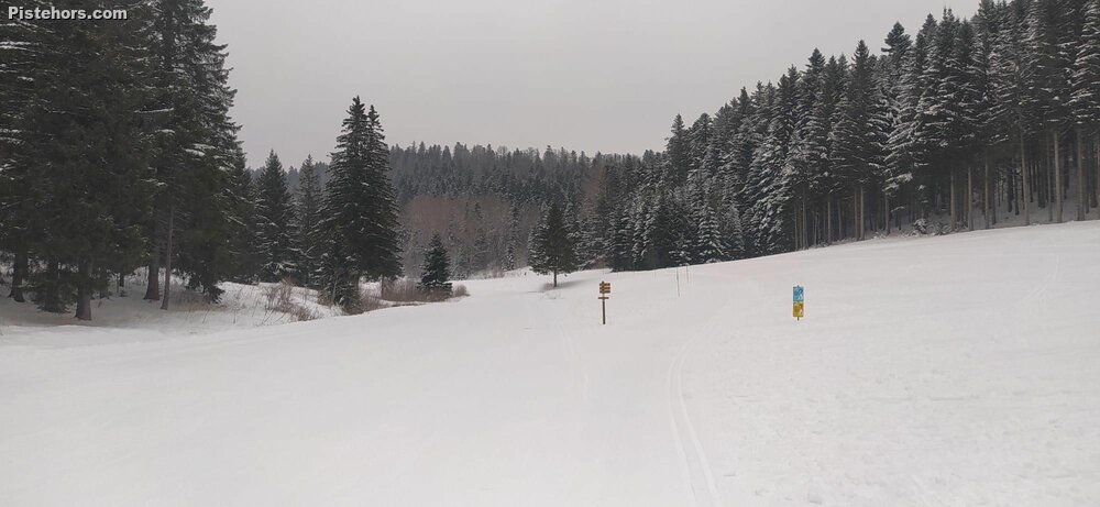
The Plateau d'Hauteville, located in the southern part of the Jura Mountains, between 850 and 1234 meters. The cross country ski trails start at 1070 meters at la Praille, about 5 km from the village of Hauteville Lompes. The ski trails run through forests which preserves the snow from sun and wind but don't give much of a view of the surrounding Jura mountains. Hauteville is the birthplace of Olympic champion Simon Desthieux. A green loipe is dedicated to him.
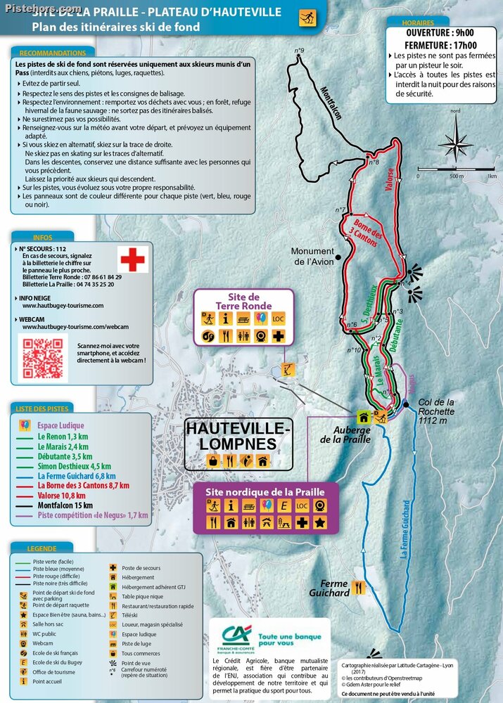
At la Praille Nordic trailhead there are trails for all levels, from the easy green loop of 1.3 km to the difficult black 15km trail which takes in a number of relatively steep hills and dales. There is also a tourist information point, accomodation, equipment rental, toboggan run, picnic room, restaurant, play area, first aid station, ski school, a wellness area (Nordic baths and sauna) on reservation at the tourist office and dog sledding. The area claims 53 km of marked and groomed cross-country ski trails for both skating and classic as well as 25 km of marked trails for snowshoeing and a rope toe serving a practice area. There is a small alpine ski area at Terre Ronde.
Access: from the Ambérieu en Bugey autoroute junction take the Belley valley (signs for Chambery) to Tanay then an easy mountain road to Hauteville Lompes. 90km from Lyon. From Geneva take the Oyonnax junction and follow signs for Hauteville/Brenod.
Trip Report
The day was looking to be pretty grey so I figured skiing in woods was the best bet and I decided to try Hauteville, one of the closest ski areas to Lyon. The resort claims 53km of piste but they double count greens, reds and blacks, like a lot of areas and reality there are a few short greens, a long black out to the north of the plateau and a blue to the south. The black/red is a long loop though of 15km with some steep little climbs and long, fast descents, especially on classic skis which I had with me today. I took a photo of the piste map shown at the start but the trails have changed and at Junction 4 I was a bit confused, in fact the black/red Montfaucon trail doubles back to the other side of the plateau so when I reached Junction 8 the black turns left to loop around to return on the left side of the valley where I'd started out. It just shows how lost you could get in woods without a compass, even following forest tracks. When I arrived back at la Praille I was convinced I had turned north again. Even the pisteurs I asked were not sure where they were as they'd gone through the woods on a motoneige and would return following their own tracks, Hansel and Grettel like. So, yes, pick up a piste map or take a copy of the one attached below.
Quite a few school groups at la Praille but not many people out on the more remote trails. The area reminds me quite a bit of the col de Marcieu in the Chartreuse.
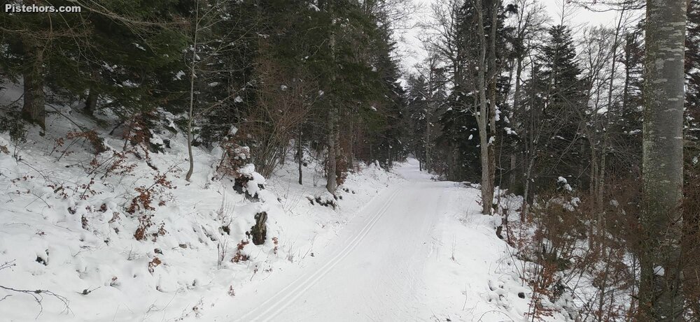
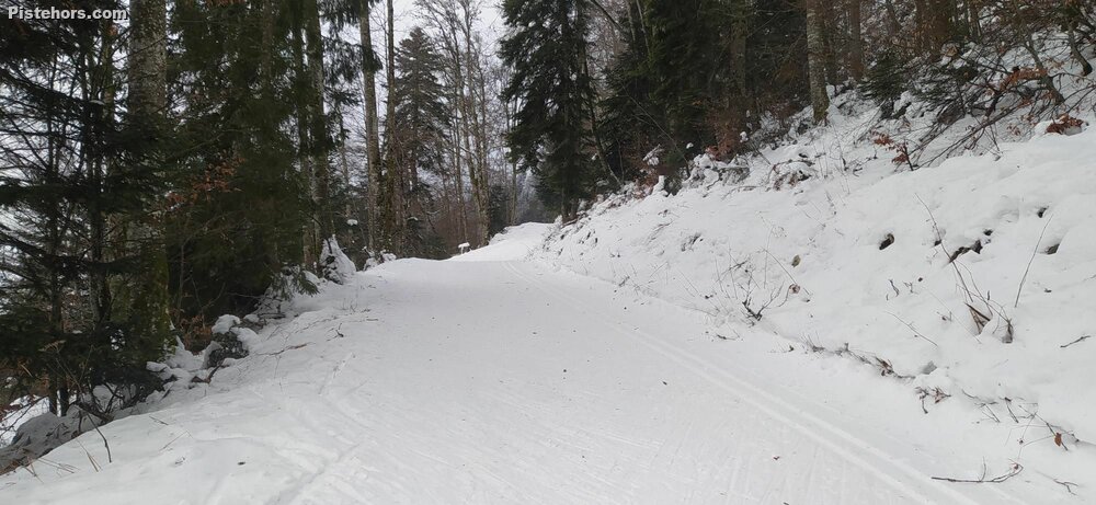
Pistes in good condition, lack of snow under the trees in places but pisteurs were maintaining the tracks. Some debris: sticks and small stones in places.