Fri, 21 December 2012
Vertical Climbed: 1,750 meters (5,742 feet)
Vertical Descended: 1,750 meters
Rating: 2.3
Avalanche Risk: 3
Snowline: 1,300
Access: Highway A43-> Saint Jean de Maurienne -> Saint Michel de Maurienne -> Beaune -> Col routier de Beau Plan according to the snow cover
Description
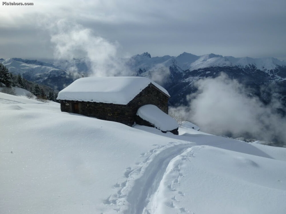
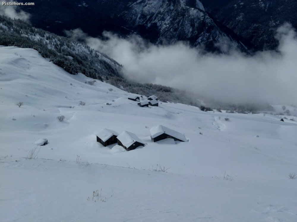
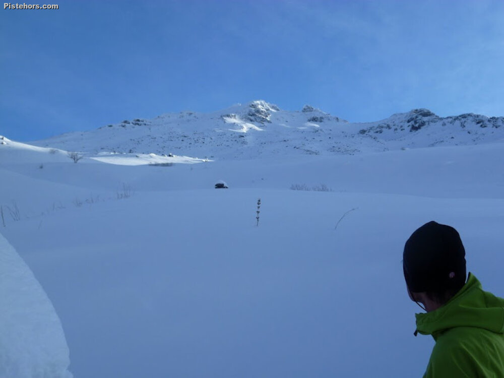
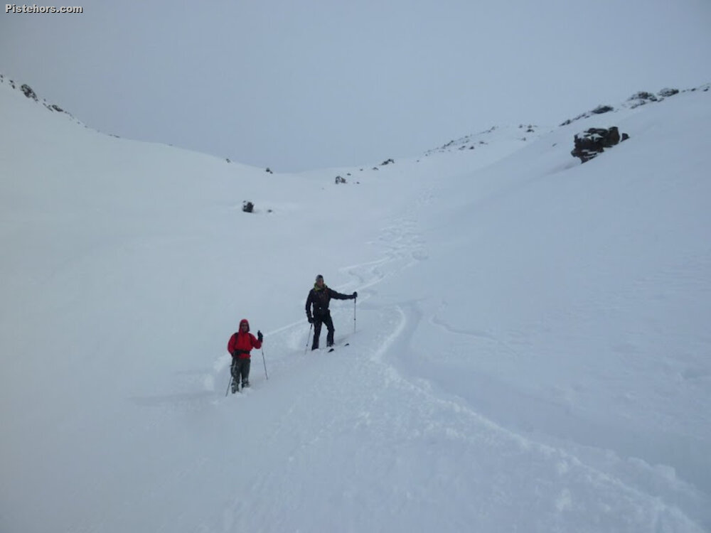
Climb ENE to the chalets Ste Margeurite (2150m). Continue to the col de la vallee Etroite (2730m) then turn SE to the summit of Mt Brequin. Descend via the same route. Depart from Beaune and Thyl also possible but Thyl loses its snow quickly as it is south facing.
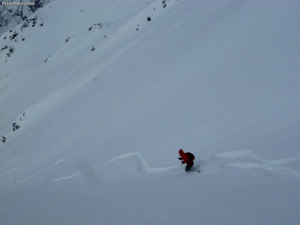
Trip Report
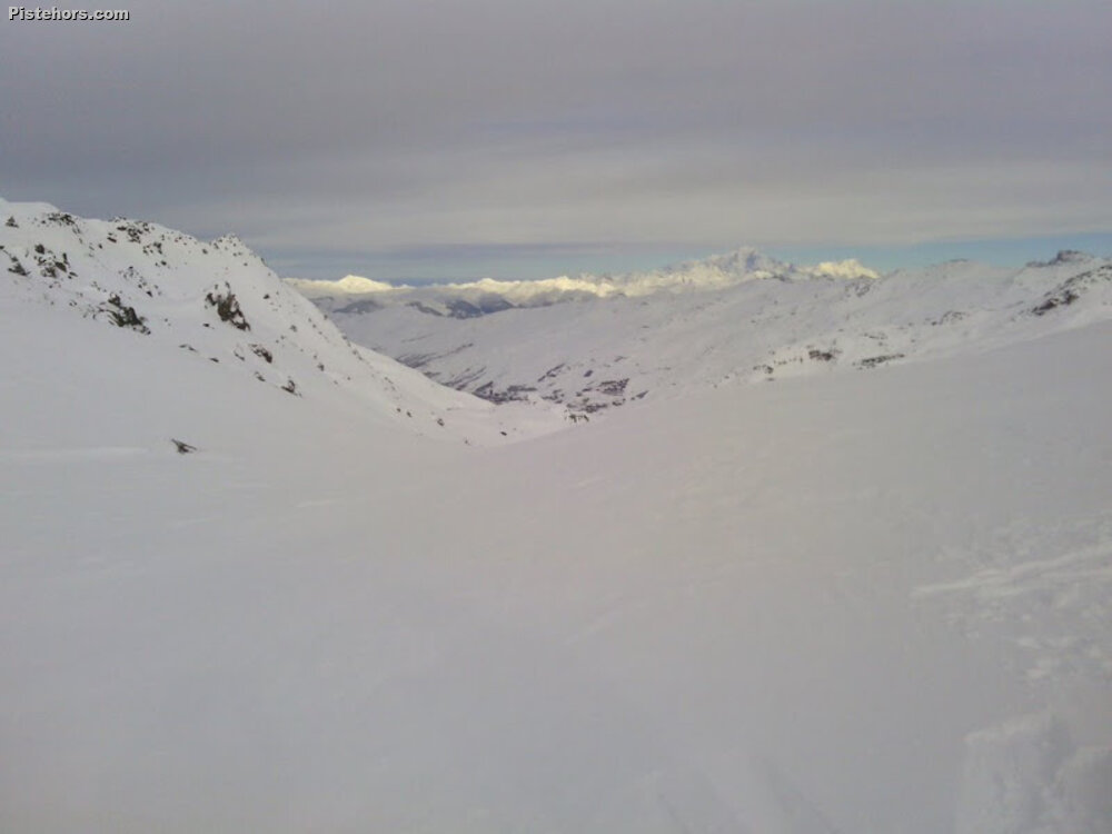
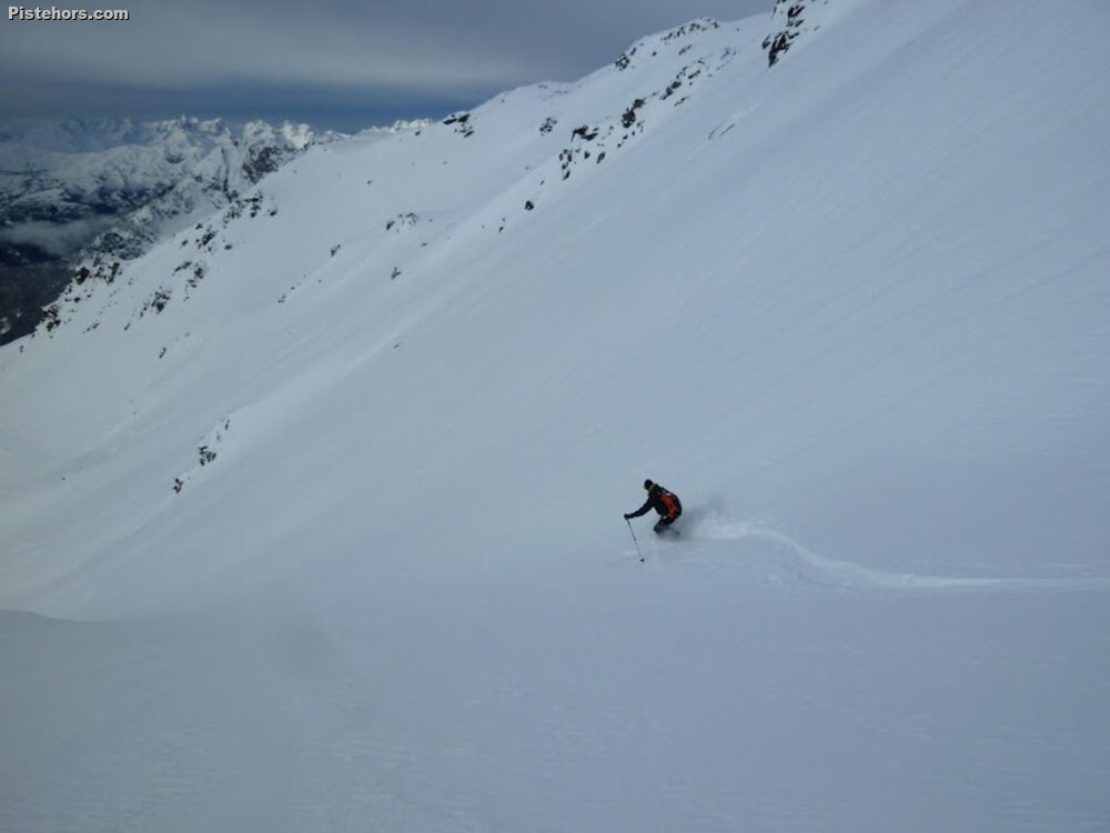
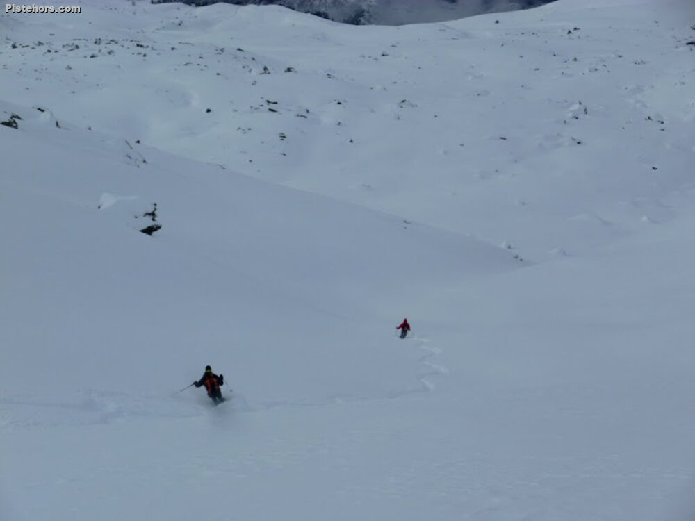
Given the doubtful avalanche conditions, risk 3 on all slope aspects, we opted for safety and the Col de la Vallee Etroit under Mont Brequin. Shallow but passing under some very snow laden slopes in places, a pretty massive snowpack at altitude, things are less rosy below 1500 meters which has seen a lot of rain. We finished off with a beer “chez Roger” in la Villette. This bar is run by a 90 year old from his kitchen. Groups sometimes ski down here from Val Thorens and have a beer while waiting for a tax ride back to resort. As the local guides and monitors about a trip to “chez Roger”.
About 70cm of fresh has fallen above 2000 meters this week but a lot of rain below 1500 m.