Thu, 5 December 2013
Vertical Climbed: 820 meters (2,690 feet)
Vertical Descended: 820 meters
Rating: 1.3
if the snow cover is sufficient try to follow the path through the forest to the cross country ski trails at 1420 meters. Follow the trails to the Forest Caban then a right hand hairpin at 1520 meters. Continue straight on (east) on a small path that climbs up through the woods to the lac Leatel where you are in a open bowl. From here pick a route to the ridgeline. Ski either the bowl or the NNW couloir from the summit if the conditions are stable. The bowl frequently has powder snow on the left bank, transformed on the right bank.
Comments on route: The NNW couloir is 3.1 rating. At the start of the season you can drive as far as the cross country ski trails.
Access: From Theys take the road which climbs to the Ramiettes forest. In general you can park at the reservoir on the left hand hairpin at 1020meters.
Equipment: Ski crampons
Country: France Area: Belledonne Trailhead: Theys
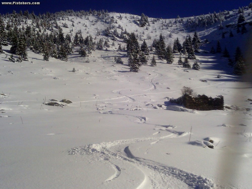
Description: From Pipay (les 7 Laux) climb to the Butte de Pipay then les Plagnes and the Montagnes des Fagnes. Remove skins and ski the NW slopes down to the Chalets de Merdaret. Reskin and follow the ridgeline north to the Cul de Pet. This is quite a long traverse. Ski the west slopes down to the ruins of a chalet (destroyed by an avalanche - apparently). Ski down the bowl taking care to stay on the left bank when you enter the woods. At the cross country ski trails follow the trails south to rejoin the Chalets de Merdaret then climb to the Chalet de Pincerie then to the Roche Noire (2129m) to return to Pipay by the off piste (couloir d'Antenne). A good choice when the snow cover is poor due to the ski pistes. A bit nordic except for the descents from the Roche Noire and Leatel. Couloir de Roche Noire is 3.3/E2 difficulty but can be avoided.
Rating: 1.3/E1
Orientation: North-West
Vertical: 1000
