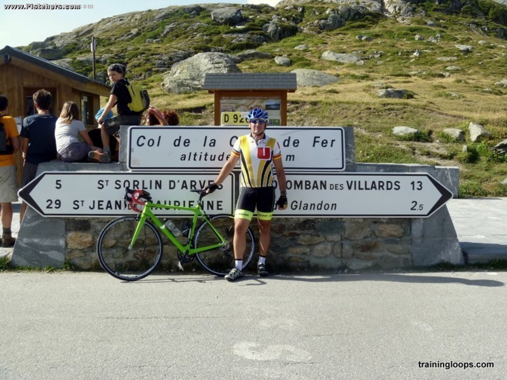
Road Cycling: Col de la Croix de Fer from Bourg d'Oisans - 2,064 m. (6,772 ft)

Tue, 21 August 2012

Technical

Minimum altitude: 713 meters

Distance: 66.2 km

Slope Aspect: South-West

Trip Reports

Vertical Climbed: 2,237 meters (7,340 feet)

Vertical Descended: 2,251 meters

Rating: 5

Description

The Haute-Route sportif was crossing over the Glandon so quite a few police around. I cycled the Glandon both ascending and descending. Time for the Croix de Fer was 2h05 from Allemont but with the Glandon.

Traffic was moderate at 7h45 but heavier (motorbikes, camping cars etc.) when I descended.

Public Transport: VFD bus to Rochtaille from Grenoble

Conditions

Extremely hot (+36C), Started at 7.45am to avoid the heat.
Route


Download GPX File


image 1