Minimum altitude: 240 meters
Distance: 100.4 km
Slope Aspect: South-East
Vertical Climbed: 800 meters (2,625 feet)
Vertical Descended: 787 meters
Rating: 4
Watching some old videos of training rides around Lac du Bourget made me fancy riding around the lake again. I realised I hadn't done the complete circuit since about 2014, and with a long endurance ride on the training schedule, it seemed like a good opportunity.
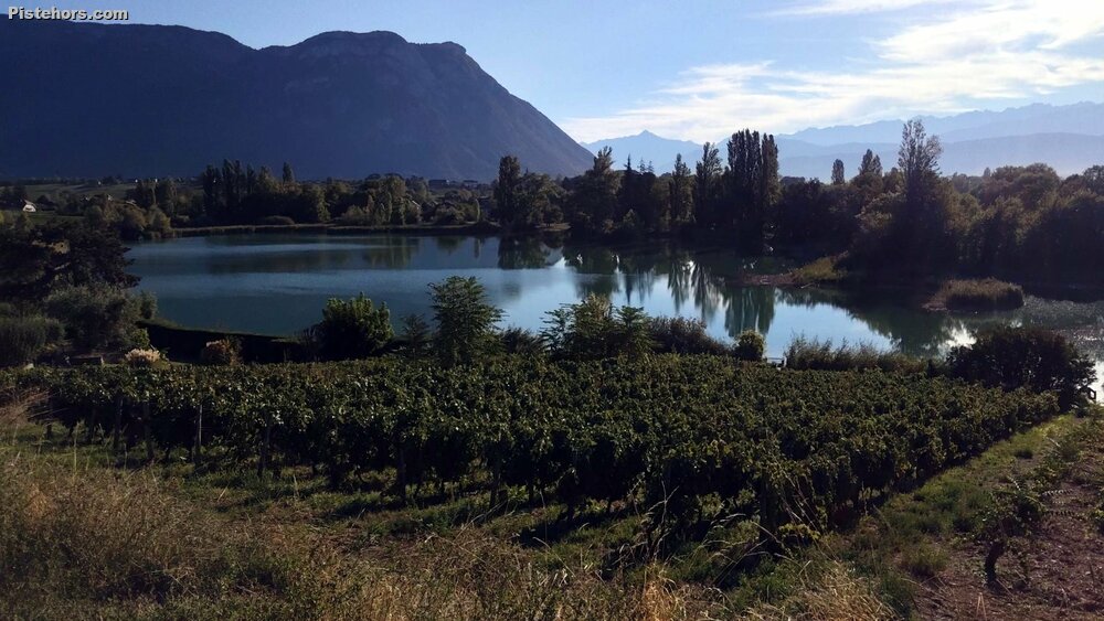
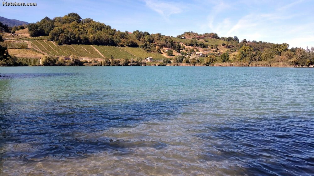
I parked at Lac Saint-André, from where I could pick up the cycle path through Chambéry and continue towards Le Bourget-du-Lac. The Lac Saint-André was created by the catastrophic collapse of the Mont Granier on 24 November 1248. An enormous mass of limestone and marl came down from the mountain and spread across the valley floor, burying several settlements including the medieval village of Saint-André. The debris created the chaotic terrain now known as the Abymes de Myans.You can see large boulders scattered around the fields. As we are quite some way from the Granier it must have been quite a catastrophe. The debris flowed up to 8km. The debris buried 5 villages killing at least 1000 people.
From there Bourget the road climbs to the aptly named village of Le Col at around 590 metres, although the climb itself continues a little higher to about 625 metres.
It works out at roughly 370 metres of climbing over 6 km at around 6%, a nice tempo climb that takes me about half an hour. I hadn't brought my heart-rate strap, so I tried to keep the effort around 5 out of 10 RPE. That was the plan, anyway. Just before Le Col I heard a couple of cyclists closing quickly from behind and couldn't resist upping the pace enough to keep them there until the summit.
I prefer riding the circuit in this direction because, once over the main climb, there are only a few short three or four-minute rises and otherwise plenty of long downhill sections. Going the opposite way means tackling a succession of long drags towards the high point.
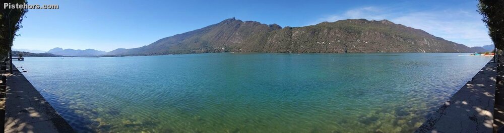
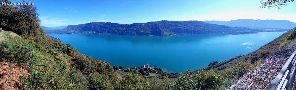
There are some good views of Lac du Bourget along this side, although for much of the route the lake itself remains hidden. By the time I reached the far end, 50 km had clicked by, so the objective of reaching 100 km before getting back to the car was looking promising.
The ride south along the lakeshore is also much better in this direction. The lake is immediately to the right and there is a cycle path of sorts for much of the way. There were plenty of cyclists out, along with scuba divers and fishermen making the most of the warm weather.
From Conjux, at the bottom of the descent from Le Col, it takes about 40 minutes to cover the 20 km or so to Aix-les-Bains.
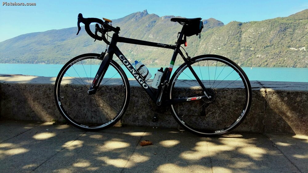
At Aix I stopped beside the lake for a sugary drink and a cookie, which gave me renewed impetus for the final part of the ride. From there I followed the lakeside cycle path before continuing towards Chambéry along the river Leyse cyclepath. It wasn't particularly hot, around 25–26°C, which made things fairly comfortable for a long ride.
Chambéry itself was busy and a little slow to negotiate, but once through the city the final stretch of cycle path back to Lac Saint-André passed quickly. The distance ticked over 100 km shortly before the finish, and I even had time for a swim in the lake afterwards.
No heart-rate data this time, but the ride came out at:
25C around 1pm, not too bad and the lake kept things cool. Traffic by the lake but not too unbearable as it is off season.