Sat, 29 August 2026
Vertical Climbed: 1,269 meters (4,164 feet)
Vertical Descended: 1,268 meters
Rating: 5
I had to go into Grenoble early today, so it seemed like the ideal opportunity to ride the north side of the Col de la Charmette, a rather secret route hidden away on the western side of the Chartreuse mountain range.
I parked the car at Saint-Égrève and followed the cycle path beside the Isère to Voreppe. After the recent rain the river was an unappealing muddy grey. Not encouragin for the Big Swim planned by Grenoble's new mayor, Laurence Ruffin. Rather her than me. As it turned out, the city apparently shared some of my reservations: the swim, originally planned for 30 August, has now been postponed after the latest water samples failed the recommended microbiological standard.
Leaving Voreppe, the road climbs steadily towards the Col de la Placette. There is quite a lot of traffic, although fortunately most of the climb has a cycle lane. From the col the character of the ride changes completely, with a long, fast descent towards Saint-Joseph-de-Rivière. I wasn't passed by another vehicle until reaching the junction with the Route des Gorges.
That road was surprisingly busy, even before nine in the morning, with what looked like the start of the great end-of-August migration home. I was therefore very pleased to escape onto the Via Chartreuse.
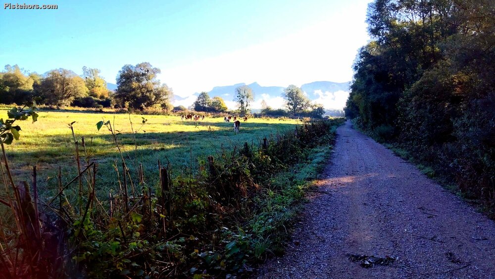
The Via Chartreuse is a relatively recent greenway running through the valley at the foot of the massif. It now extends for about 17 kilometres from Saint-Joseph-de-Rivière to Saint-Christophe-la-Grotte, passing Villette, Saint-Laurent-du-Pont, Entre-Deux-Guiers and Les Échelles. Much of it is made up of compacted gravel or "chemins blancs" rather than tarmac. The section I followed runs beside the Canal de l'Herretang, close to the protected Herretang wetlands, and provided a very agreeable traffic-free way of reaching Saint-Laurent-du-Pont. More importantly that morning, it meant doing so without choking on exhaust fumes.
Saint-Laurent-du-Pont is normally a pleasant and busy little town, but today it was jammed with holiday traffic on the traditional rentrée weekend. I was pleased to turn away from it and head properly into the Chartreuse for the main course of the ride: the northern climb of the Col de la Charmette.
The climb starts almost immediately outside the town. Published profiles give roughly 11 kilometres and 850 metres of climbing from Saint-Laurent-du-Pont to the 1,261 metre col, an average gradient approaching 8%, although that figure hides some considerable variation.
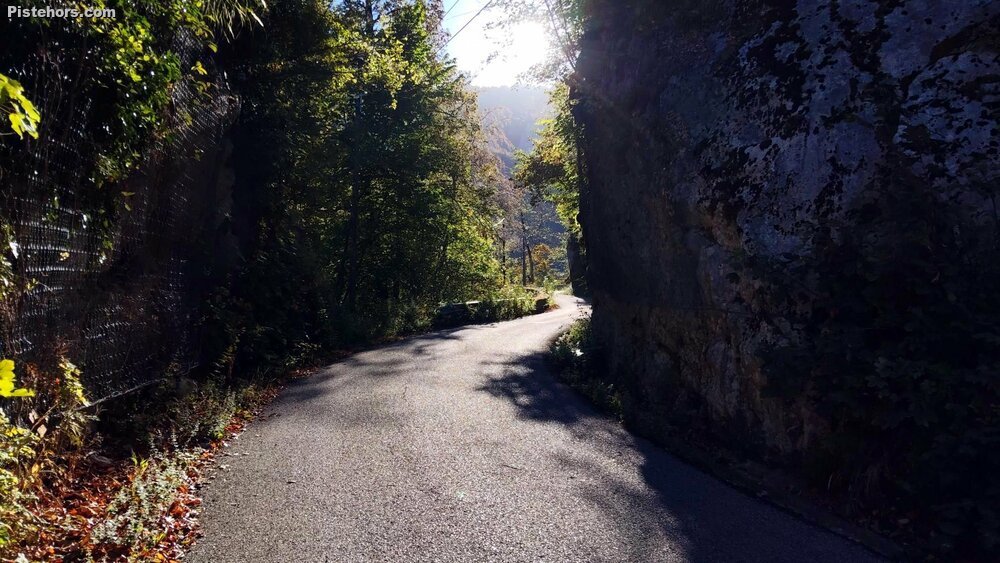
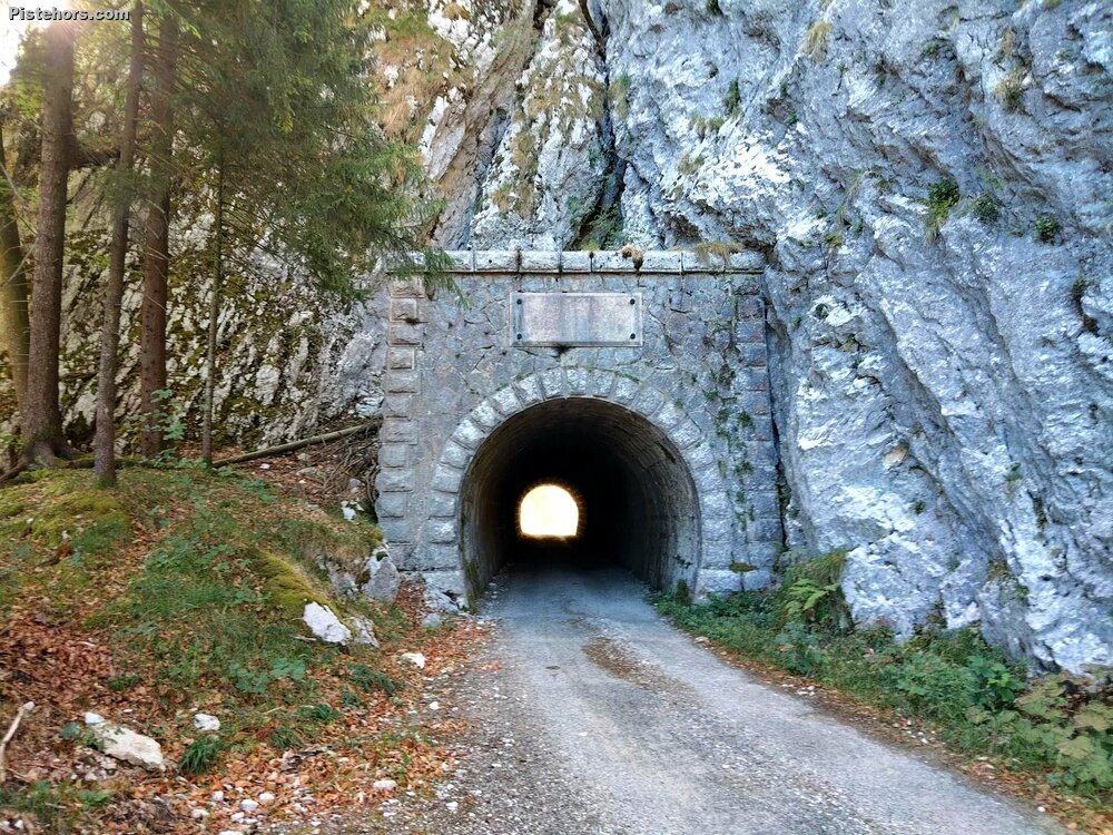
The first section is perhaps the most spectacular. A tiny road twists upwards through the forest in a succession of hairpins, cuttings and tunnels towards the old Chartreuse de Currière. There are a few potholes, but for a cyclist the surface is generally perfectly usable.
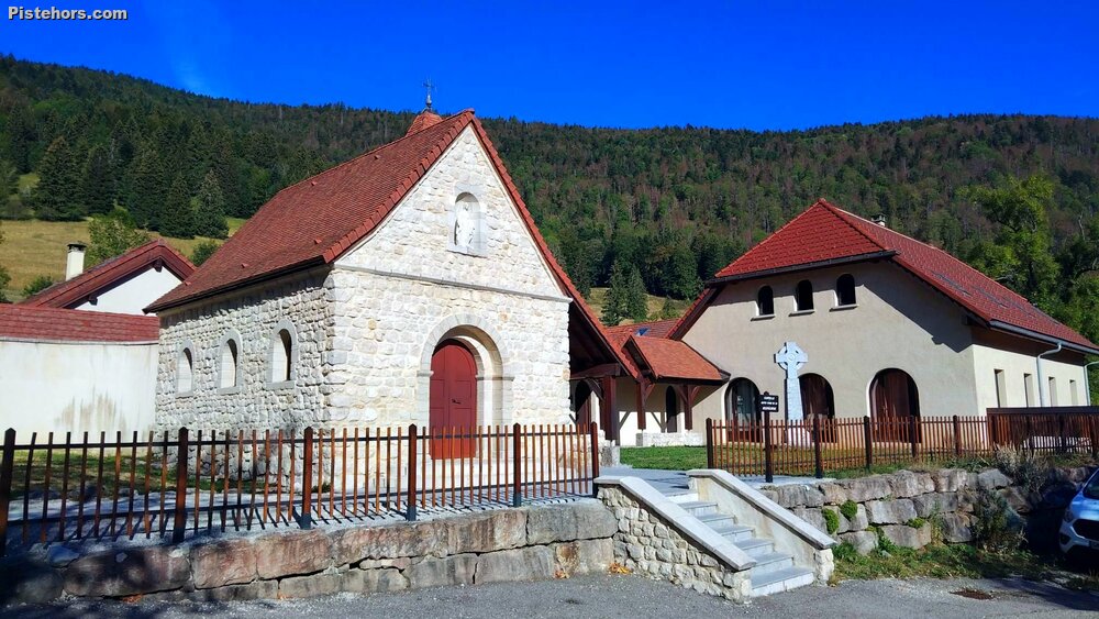
Currière has a surprisingly long history. The site belonged to the Carthusian order from the Middle Ages and the monastery itself was founded in 1296. After the French Revolution the buildings served various purposes, including a school for deaf children and later a holiday centre. Monastic life finally returned in the 1970s when the site was entrusted to the Monastic Family of Bethlehem. Today it is known as the Monastery of Notre-Dame du Buisson-Ardent and remains an active religious community.
From Currière onwards things become considerably more adventurous.
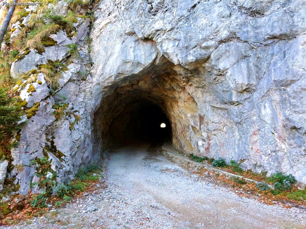
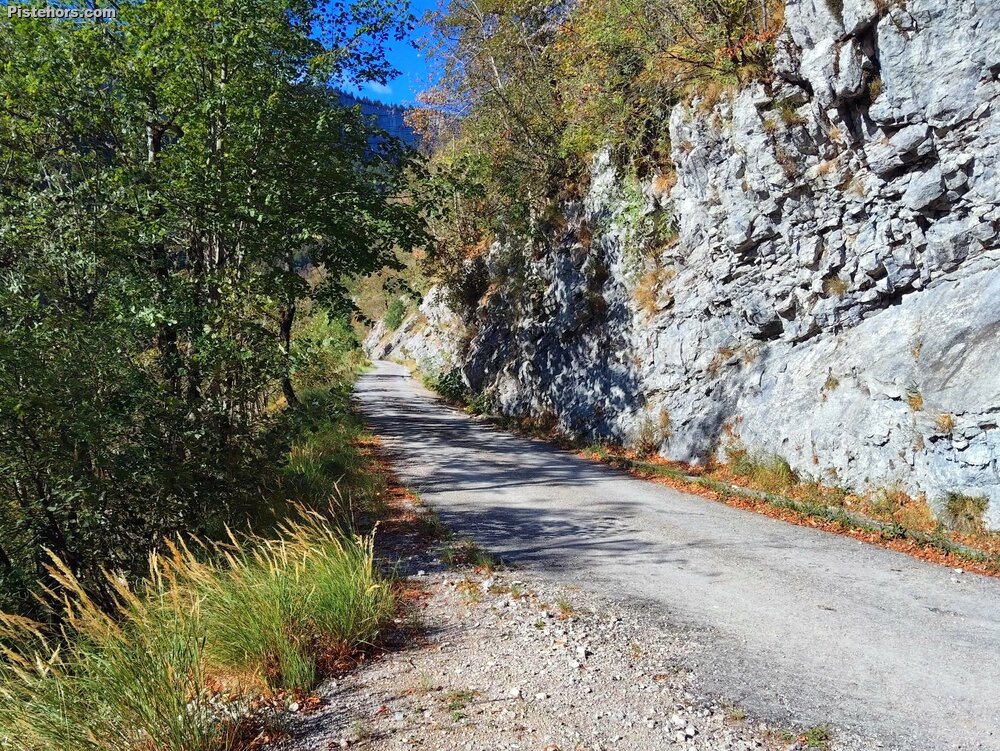
The road soon enters a long tunnel. Its old concrete surface is badly broken and surprisingly slippery and, after about fifty metres, I decided that discretion was preferable to an undignified crash in the dark and walked the rest. Beyond the tunnel the surface remains rough in places, but it is perfectly serviceable on 28 mm tyres and I wouldn't have been particularly worried about riding it on 25s.
This is what makes the northern side of Charmette such an unusual climb. It doesn't really feel like a normal road pass. For long sections you are riding along an abandoned mountain road, squeezed between forest, cliffs and the gorges of the Guiers Mort.
Despite its reputation, much of this middle section is not particularly steep and it was possible to settle into a comfortable rhythm. My heart rate data afterwards confirmed the impression. Over the entire 3 hour 22 minute ride my average heart rate was only 133 bpm, and 56% of the ride was below LT1. Another 34% was between LT1 and LT2.
The final kilometre or so is another matter. The road suddenly rears upwards, with my GPS showing ramps around 13%, and keeping the effort under control became rather more theoretical. However the road surface on the final kms is excellent. The ride contained two distinct harder efforts above 160 bpm, lasting about four and eight minutes respectively, almost certainly corresponding to the steeper parts of the climb. My maximum heart rate for the day reached 169 bpm.
Even so, the overall pacing was quite restrained. Only 16½ minutes of the entire ride, around 9% of the moving time, were above LT2. The longest sustained climbing block lasted 43 minutes at an average of about 156 bpm, so I was working reasonably hard towards the top without turning the climb into a threshold test.
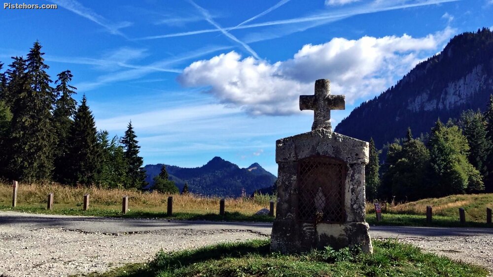
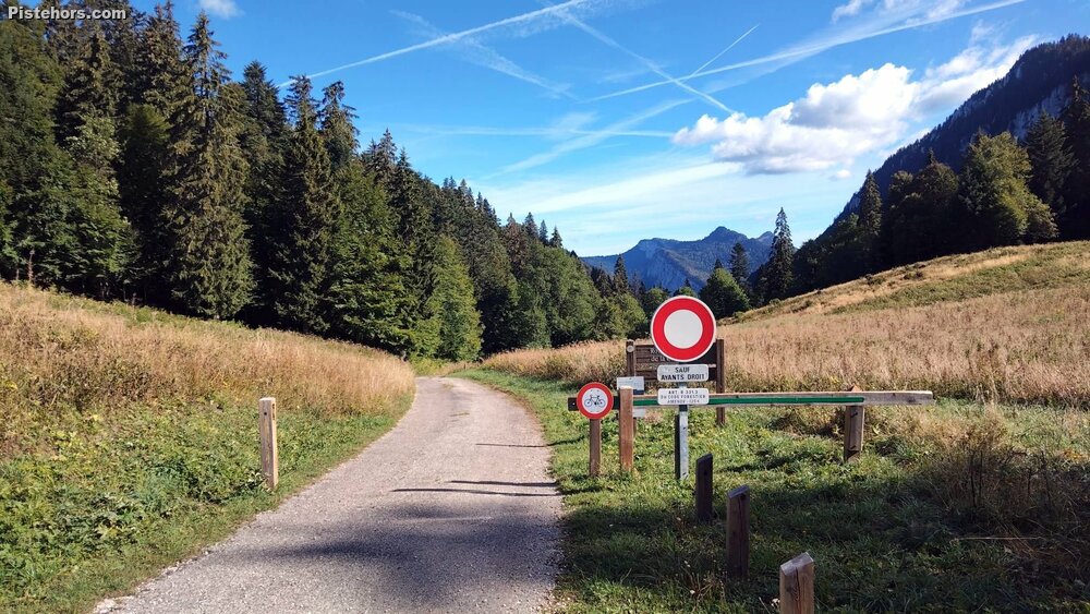
The Col de la Charmette itself was a surprise. After the solitude of the northern ascent, the summit was busy with walkers and cars arriving from the Saint-Égrève side.
I had to be slightly careful on the descent. There was considerably more traffic coming uphill than I had expected, often leaving little room on the narrow road, and several corners had loose gravel scattered across them. Once lower down, however, everything became much calmer and I could let the road carry me gradually back towards the Isère and Saint-Égrève.
Perhaps the training is beginning to work. After 3 hours 22 minutes of fairly hilly riding, including the 850 metre ascent of Charmette, I arrived back at the car without really feeling tired. The numbers suggest there was a reason for that. Despite the occasional steep ramp, more than 90% of the ride had been spent below LT2.
For a route containing a proper Alpine climb, that made it a surprisingly good endurance ride rather than a day spent digging holes in the Chartreuse.
Average 15C, 12C at the col. The climb only has a really bad surface from the first long tunnel for around 2km.