Sat, 12 November 2022
Vertical Climbed: 745 meters (2,444 feet)
Vertical Descended: 728 meters
Rating: 3
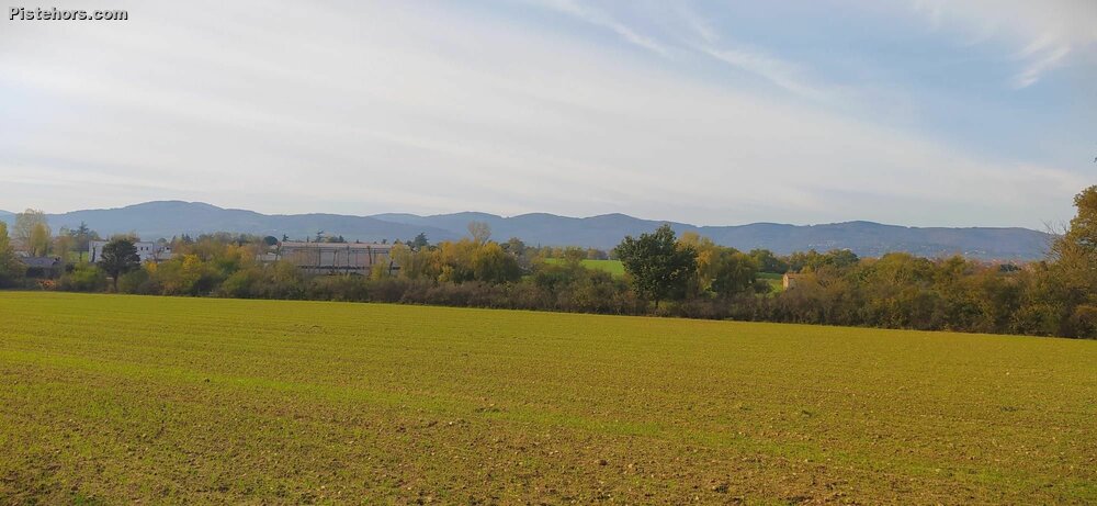
The Monts du Lyonnais are a small mountain range to the SE of Lyon. The high point is the crêt Malherbe at 946 meters but my objective was the signal de Saint-André at 934 meters. Unfortunately there was a motor race which blocked the road and in the end it was a bit far with the daylight.
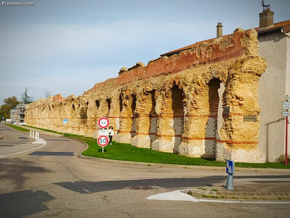
There is also part of the Gier Aquadutc at Chaponost. AT 85km this Roman aquaduct is the longest of 4 aquaducts that supplied water to Lugdundum. Amazingly it starts at St Chamond in the Pilat mountain range near St Etienne and follows the contours to arrive in Lyon.
Cold, a bit hazy, but still wearing shorts, night falling quite early now.