Minimum altitude: 231 meters
Distance: 28.5 km
Slope Aspect: West
Vertical Climbed: 798 meters (2,618 feet)
Vertical Descended: 794 meters
Rating: 3
A quick ride up to the Col du Lauteret above Prabert, on the Belledonne side of the Grésivaudan valley. I had not ridden this route since 2015, when I climbed it from the south side in 47 minutes. Today it took me 1 h 02, which is a fairly blunt reminder that Strava has a long memory.
Still, it was not a bad effort. My best 30-minute VAM was 770 m/h, and my target is to get back to 800 m/h by the end of the summer. In 2014 it was closer to 1,000 m/h, but that may have to remain in the archive for now. As I was on the heavier bike today, 800 m/h still feels like a realistic goal.
I tried to keep the effort fairly controlled, although in practice I was climbing just below VT2 for much of the ascent. I also had my cadence meter connected for the first time in years, which gave me something else to focus on. I aimed for around 70 rpm on the climb, while on the flat I would normally be closer to 90 rpm.
The climb itself felt familiar and unfamiliar at the same time. It is not especially long or dramatic, but it has a typical Belledonne feel: very quiet roads, green slopes, a few steeper sections, and just enough gradient to make you work properly.
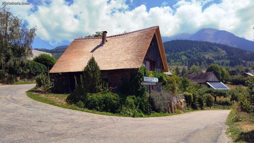
At Prabert I stopped to photograph a lovely barn with a newly thatched roof. It looked great, although in the middle of a heatwave I did wonder whether it was entirely reassuring from a fire-risk point of view.
In the end, it was a short but useful ride: a climb revisited after nearly ten years, a decent benchmark for the rest of the summer, and a reminder that 800 m/h is close enough to be motivating, but not quite close enough to happen by accident.
It was hot again, around 30°C in the valley and about 25°C at the col.