Thu, 27 October 2022
Minimum altitude: 828 meters
Distance: 84.1 km
Slope Aspect: West
Vertical Climbed: 1,332 meters (4,370 feet)
Vertical Descended: 1,328 meters
Rating: 3
Description
From Yssingeaux (there is a free autoroute from Lyon - the N88) you climb 400 meters over 16km but there are some sections of 8%. This brings you onto a high plateau and generally rolling roads to les Estables (1300m) after about 35km of cycling. The best choice is to cycle the Col de la Croix de Peccata. The col de la Clède on the main road isn't at the top of the climb and isn't hugely interesting as a destination on this side of the mountain.
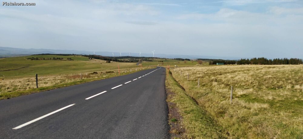
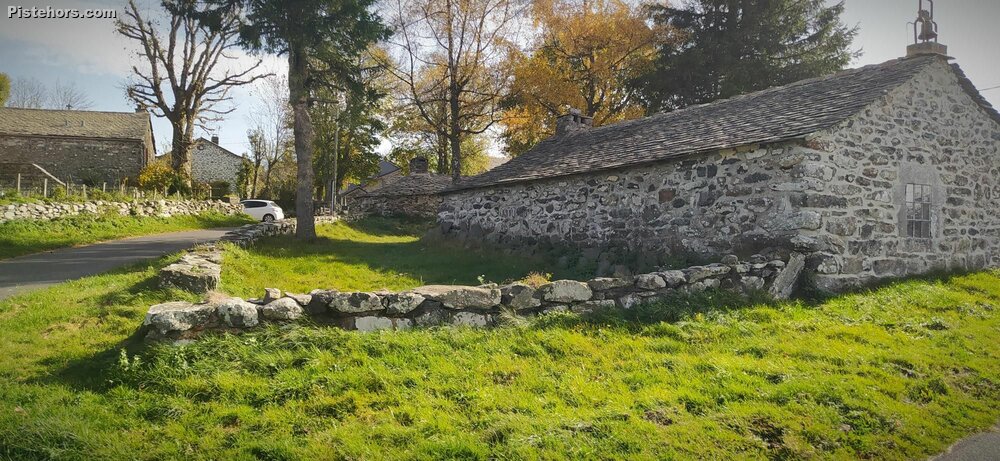
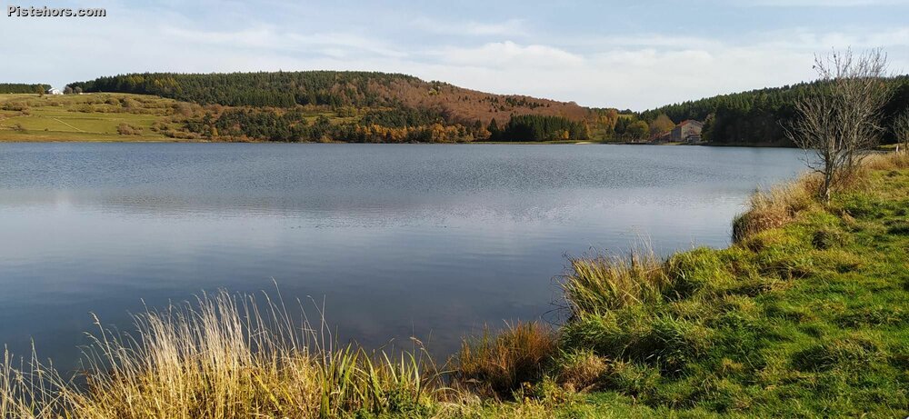
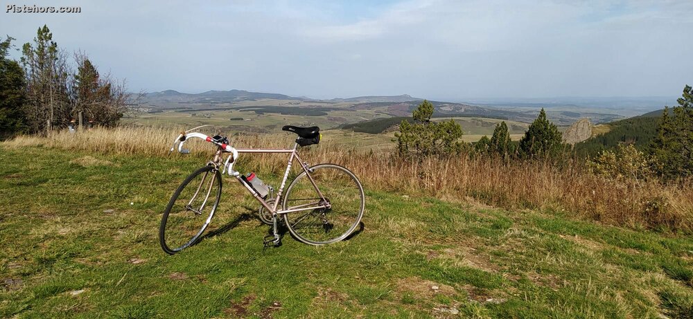
There are some charming villages: Mont Vert with its tiny church and la Chaude de Carle (shop and cafe). Once up on the plateau you have a 360 degree view over the Haute-Loire and the "suc" - tiny mountains like Sugar Loafs that are the remnants of extinct volcanoes. You pass by the lac de Saint-Front, at 1250 m, it is the highest lake in the Haute-Loire. It is a flooded volcanic crater with a circumference of 5km.
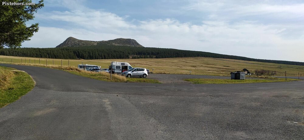
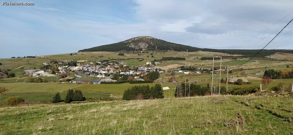
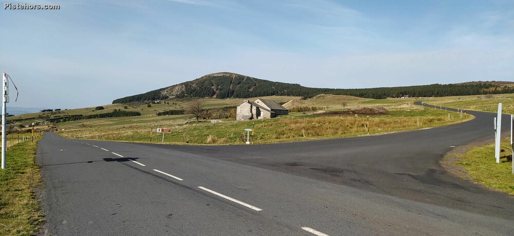
Les Estables is a small ski resort. The last still running in the Haute-Loire and it offers both alpine skiing on the south side of Mont d'Alambra and cross country. Mont d'Alambra is apparently named after a celtic godess. The characteristic double summit of Mont Mezenc can be reached via the Col de la Croix de Peccata (1559m). This is the highest paved col in the Haute-Loire department and the second highest in the Massif Central. So worth a visit. From les Estables you climb 220m over 3.7km at a reasonable gradient of 6% with some short sections at 8%.
Exceptionally warm: 20C at 1400 meters. Tshirt and shorts weather.