Fri, 3 July 2026
Minimum altitude: 236 meters
Distance: 100.6 km
Slope Aspect: South-East
Vertical Climbed: 996 meters (3,268 feet)
Vertical Descended: 990 meters
Rating: 3
I wanted to tick off Strava’s Gran Fondo 100 km challenge early in the month. Last month I had a couple of opportunities, with rides in the 80 km-plus range, but never quite went the extra mile — or perhaps the extra kilometre. There had also been a canicule, as the French call it: proper dog days for cycling after 9 a.m.
Today’s plan was to keep things mostly flat, but add one proper climb: the road up to the Tours de Montmayeur above La Rochette, with the aim of putting in a 35-minute effort above VT2.
It was already warm when I woke up, around 17°C, and by the time I reached Pontcharra at about 7:40 a.m. it was flirting with 20°C. From there it was a quick up-and-over La Chapelle-Blanche before turning towards the climb.
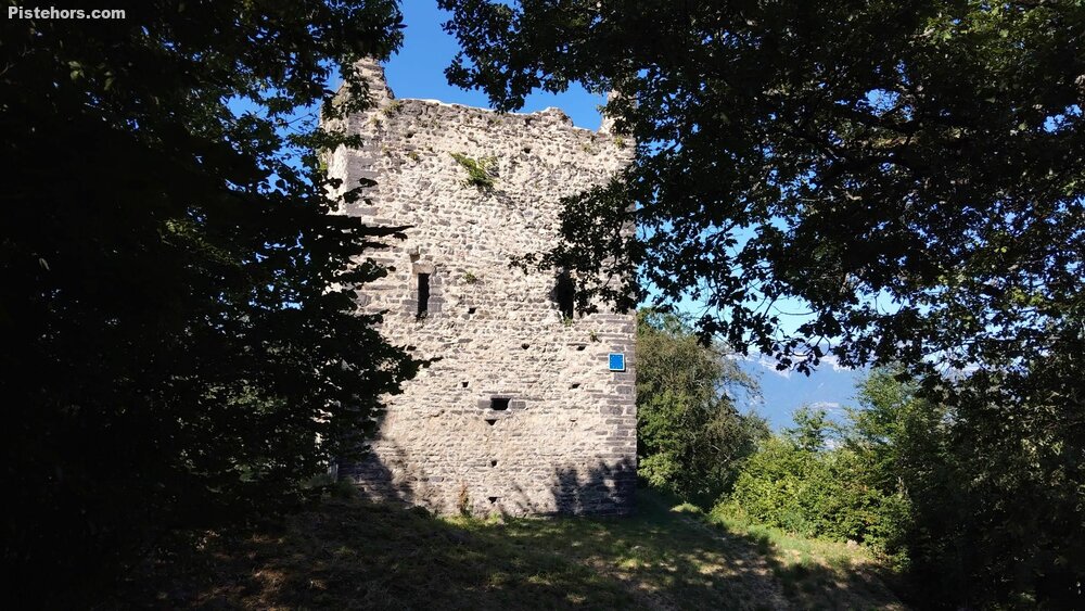
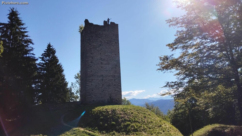
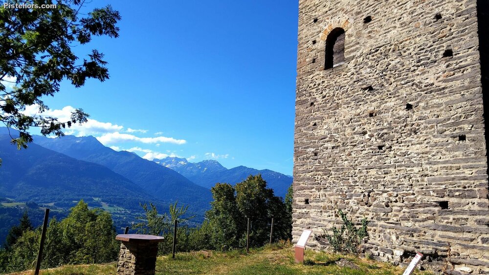
The ascent to Montmayeur is short but serious: around 5 km at an average of 8.6%, gaining roughly 430 m. It is a dead end, at least on a road bike, finishing at the twin towers and the remains of the medieval Château de Montmayeur. The site itself is understated rather than grandiose: not a polished tourist castle, but a rough, atmospheric collection of walls, towers and old stone buildings on the Montraillant ridge. The château dates back to the medieval period, with remains of a 12th-century castle mound still visible. The north-east tower, more than 20 m high, still dominates the site, and its position makes perfect sense once you are there: it commands a wide view over the Combe de Savoie, towards the Bauges, Belledonne and Chartreuse.
The road surface is excellent, which is not always a given on small Savoyard climbs. The gradient is mostly steady, rarely going much beyond 10% except on a few bends, but the narrow road and hairpins make it difficult to descend quickly. I reached the top at around 9:10 a.m., at roughly 800 m above sea level, and spent a bit of time exploring the ruins before setting off again at about 9:30.
For the return I decided to cross over to the east side of the valley and ride directly through La Rochette, but I had forgotten that this road hides a few small climbs of its own. Fortunately, I had recovered somewhat on the descent. At La Rochette I took a gel, then enjoyed the fast drop back down towards Pontcharra, where I picked up the cycle path along the Isère.
From there it was pan-flat riding, now with the Brucie bonus of a tailwind pushing me home. I finally arrived at 11 a.m., about an hour later than expected, and by then it was getting properly hot: 32°C.
The 100 km ride is psychological more than anything. The distance itself is manageable, but in this heatwave summer it confirmed something important: I really do not want to be riding late in the morning. That is going to restrict my cycling plans a bit over the next few weeks.
Stats:
Time: 4h 33m
Climb VAM: 720 m/h
Very hot by 11am - 32C ! Wind got up from the NE which helped on the ride home.