Sun, 14 June 2026
Minimum altitude: 223 meters
Distance: 86.5 km
Slope Aspect: North-West
Vertical Climbed: 1,772 meters (5,814 feet)
Vertical Descended: 1,754 meters
Rating: 5
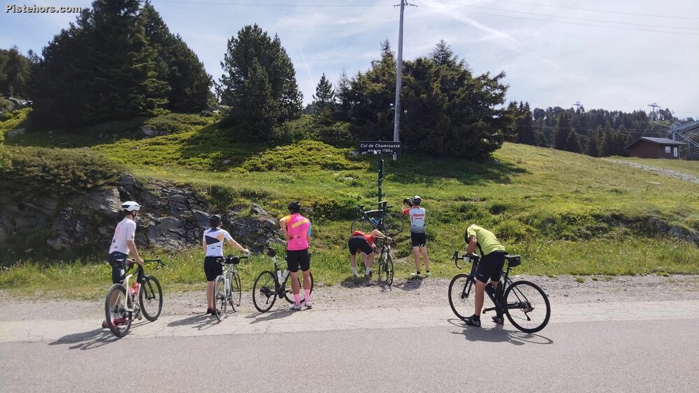
Today’s objective was the Col de Chamrousse, part of the Échappées Iséroises series of closed-road climbs. The numbers were very similar to last week’s ride to the Super Collet: around 85 km in total with roughly 1,700 metres of climbing.
The start was again about 23 km from home, although this time it was slightly easier to reach. The road up towards Uriage is much flatter than the approach to Allevard, and with the weather forecast looking much hotter than the previous weekend, I wanted to get going a little earlier. In the end I left the house at around 7.45 am and arrived comfortably before 9 am, where I picked up a ticket. In theory the ticket gives access to the refreshments at the top, although in practice they seemed to be serving everyone.
The climb begins brutally. The first kilometre out of Uriage is hard, probably around 9 to 10%, and it immediately sets the tone. After that the gradient eases slightly, settling into something closer to 8% on the road up towards Prémol. I was not the slowest rider on the climb, but I was certainly a long way from the fastest. The first section to Prémol took just under 52 minutes, giving me a VAM of around 720 m/h.
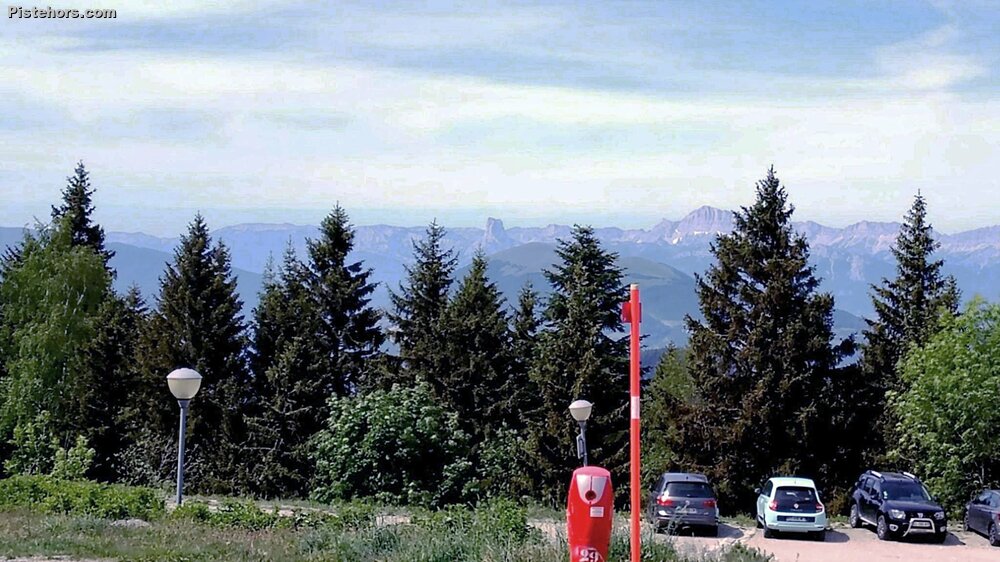
At Prémol there is a short plateau and a welcome chance to recover before the second part of the climb begins. From there, the road winds upwards towards the Col du Luitel before zigzagging its way towards Chamrousse. This is where the effort began to tell. My climbing speed gradually dropped, first towards 600 m/h, then closer to 540 m/h over the final three kilometres. It did not feel dramatically hard, but the accumulation of the climb, the altitude and a strong, cold northerly wind on some exposed sections all started to make themselves felt.
The climb from Uriage to Chamrousse is one of the great Isère ascents. It is long rather than savage, rising from around 418 metres to roughly 1,760 metres over about 20 km. The road was used in the 2014 Tour de France, when the stage from Saint Étienne finished at Chamrousse. It is also one of those climbs that you can see from the valley, which always makes it feel slightly more intimidating before you start. There are apparently 13 hairpins on the way up, and while the Uriage side is already a serious climb, the much steeper variant from Séchilienne via the Col du Luitel has an even more fearsome reputation.
Eventually the refreshment stop came into view. I had a Coke, and after a short rest felt sufficiently revived to continue up to the real Col de Chamrousse, another 100 metres or so higher than the event finish. It seemed a shame to come all that way and not tag the actual col.
Rather than retrace my steps, I decided to descend via Revel and Domène, using the Seiglières road. This turned out to be less straightforward than it looked on the map. The small link road includes a 300 metre section that is more track than road, presumably to discourage people from using it as a shortcut. I say shortcut, but in the end the return was 43 km, exactly the same distance as the outward leg. So I saved nothing and probably made life more complicated. On paper it looks more direct, but with all the zigzagging and small roads it clearly is not.
Back in the valley, the temperature had risen to around 25°C, so I kept things simple and stayed on the flat. The new cycle path back towards Crolles was ideal, with enough shade to make the final kilometres reasonably pleasant.
In the end it was another proper Isère climbing day: a long approach, a closed-road ascent, a high mountain finish, and just enough questionable route planning on the way home to keep things interesting.
16C at Chamrousse with a cold north wind, 25C back in the valley.