Mon, 12 August 2024
Vertical Climbed: 14 meters (46 feet)
Vertical Descended: 14 meters
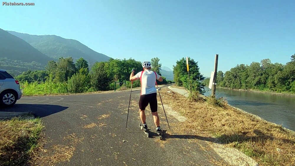
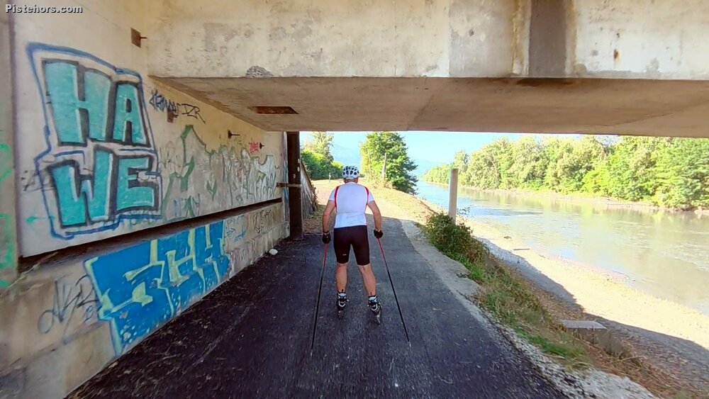
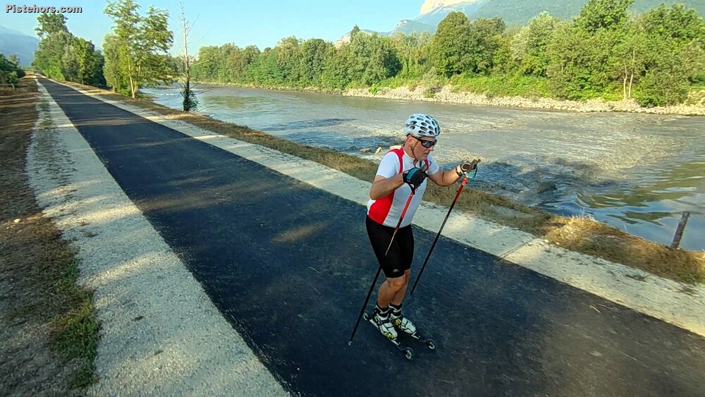
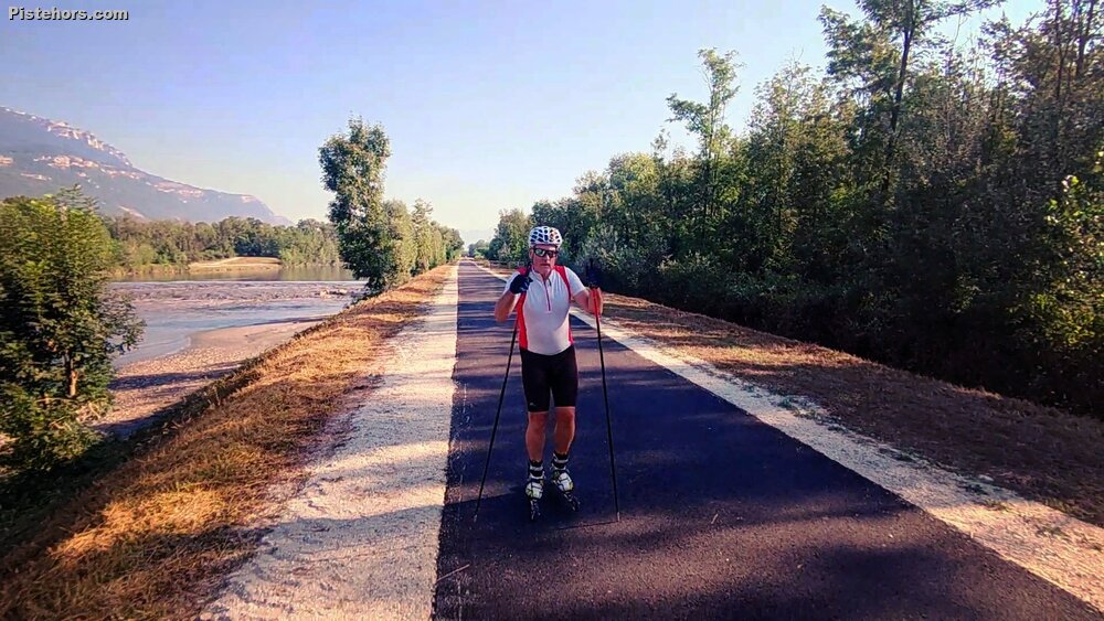
This 8km segment, from Tencin to after Goncelin has just been surfaced. It forms part of the AF3V / V63 cycle path that will link Grenoble with... Aix les Bains or Annecy? Further sections will be completed in 2025. You can start in Tencin village and roll down to the river then follow the tow-path to the end of the surfaced section at around 6.5km. It is very picturesque by the river and there is some shade from the trees. There are three fords to cross but these are just in case of flooding and are usually dry.
It is extremely hot at the moment so Ieft before 9am. I decided to film a bit which meant I was not particularly fast and also I don't know the route so took the few obstacles - concrete flood fords - carefully. Finally about 3km after Goncelin bridge the path ran out, they haven't completed the bit to le Cheylas reservoir yet and then on to Pontcharra. I'm not sure if they are going to surface to the south of Tencin or whether you are supposed to cross the narrow bridge and take the farm roads in the future?
25C at 9am. Due to the storm some stones and sticks on the path but nothing too dangerous.