Sat, 20 August 2022
Vertical Climbed: 902 meters (2,959 feet)
Vertical Descended: 923 meters
Rating: 3
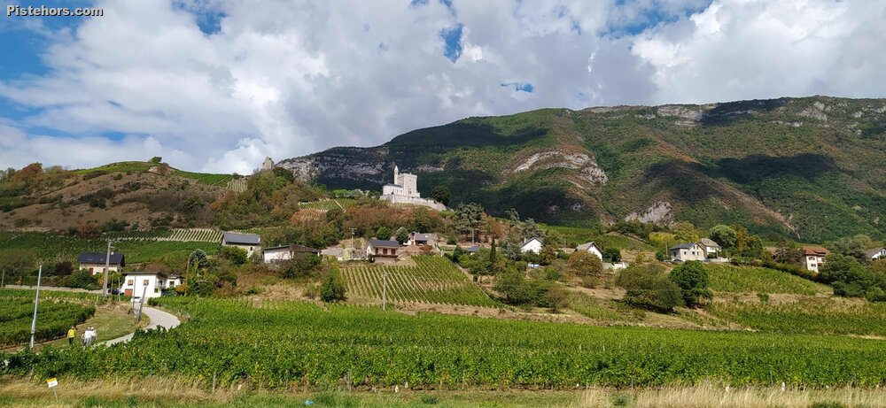
Return from Chambery to get some base miles in. Apart from the climb at Threshold mostly <140bpm on the valley roads. I'd not done the Curienne loop before, it is a favourite for Chambery riders. 500m over 8km so a nice, easy 6% but with some ramps of 11% and steeper sections at 9% so a nice bit of variety. It had just rained but the road was dry on the descent and generally pleasant riding in the valley on the Ch. de l'Empereur - rumour has it that Hannibal took this route when he Invaded Italy 2,200 years previously.
Road a bit rough on the climb up to Montmerlet at one section. It had just rained so not too hot. 21C on the climb, 27C in the valley.