
Ski-Areas > Northern Alps > Savoie (73) > Tarentaise > Celliers > Pointe St Jacques by the col des Paris St Jacques
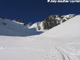
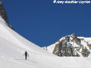
From the Celliers drag lift proceed along the snow covered road that leads to the col de la Madeleine. Leave the road after the first hairpin in the direction of the logis des Fées then climb the valley that ends under the crête des Frettes. Fork to the left at the level of the lac le Branlay in the direction of the Pic du Rognolet. The col is just at the foot of the north face of the Rognolet. From the col climb to the summit by the ridge. Depending on the conditions the descent can be by the couloir you just climbed or another further to the left which sees the sun earlier in the day.
| Mountain Range | Lauzière |
|---|---|
| Summit | Pointe St Jacques |
| Altitude | 2531m |
| Orientation | North-East |
| Starting Altitude | 1300m |
| Vertical | 1231 m |
| Maps | IGN 3433 ET St Jean de Maurienne |
| GPS Waypoint | N 45.4929°, E 06.3731° |
| GPS Route | Google-Earth:Lauziere |
| Grade[1] | Danger: 1, Climb: AD-D, Ski: 3.1 |
| Comments | Only the short couloir of 40° over 100m justifies the rating, otherwise 2.1 |
| Snowboarders | Yes |
| Road Access | Albertville -> N90 -> Pussy -> D94 -> Celliers dessus (1366m) |
| Refuges | Hotel du Grand Pic? |
| Author | davidof |
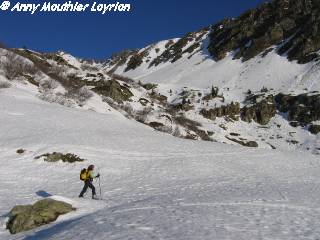
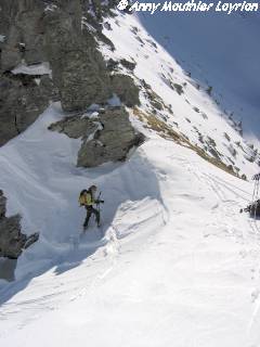
A short holiday in the Lauzière and the exploration of this beautiful valley under the Rognolet. Very few people, the feeling of spring skiing conditions with a short couloir as a bonus which was not unpleasant to ski. Afterwards everything was firn snow.
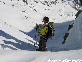
Caution: Slabs under the slopes under the Rognolet.
We recommend half board special walkers at the Hotel du grand Pic de Celliers
Category: Trip Reports