Ski Areas > Northern Alps > Belledonne > Pays d'Allevard > Gargoton Couloir SW
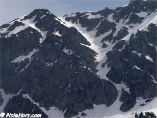
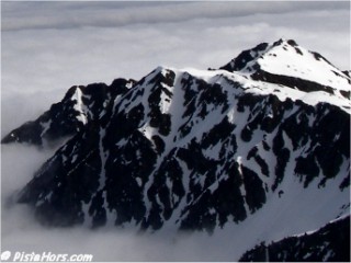
The pointe de Gargoton (point 2325 on the IGN Map) is linked with the Pointe de Rognier via a north-east ridgeline.

The south west couloir is steep, averaging 45° over 175 meters and exposed at the bottom. Take a rope, crampons and ice-axe.

GPS: N 45.4218° E 06.2131°, 2325 meters
Orientation: SW
Toponeige Rating: Danger: 3, Climb: D+, Ski: 4.3
45° over 175 meters - source IGN 1:25000 map
Climbing: 1005 meters (from summer parking)
<< Gargoton couloir NW? | Pays d'Allevard | Pas du Gargoton? >>