
Ski Areas > Northern Alps > Belledonne > Freydiere > Croix De La Belledonne
The Croix of the Belledonne is a rights of passage randonnée, both for summer walkers and winter skiers. It just has to be done. The starting point is the Quatre Chemins just above Freydière. The car park can be reached in late spring and is at 1372 meters, with the summit at 2926 meters this gives around 1550 meters of vertical. The usual procedure is to arrive at the car-park at around 6am, climb to the top for 11am and be back at the car in time for lunch.
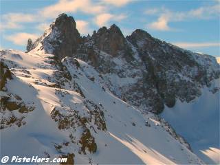
Croix de la Belledonne from the Rocher de l'Homme
The Lac de Crozet was damned to provide a regular source of water and electricity to the paper mill in Domene. EU competition regulations now mean that the local paper industry has to pay the same tariffs as the rest of French industry for its electricity and the industry in full recession in the Grésivaudan valley. It is not always easy to understand the politics of Europe that stops an industry taking advantage of a local resource.
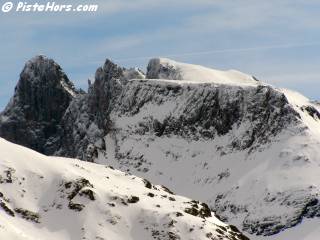
Grand Pic and Croix de la Belledonne
Follow the same route as Le Grand Colon east face but at the Vallon de Mercier continue ahead to the Col de la Pra (2186 meters). The Croix de la Belledonne can be divided in two by descending 50 meters to the Refuge de la Pra? from the col and spending the night there.
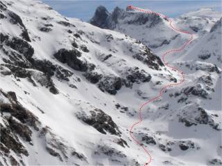
The route
From the col follow a valley to the east which crosses by the lacs de Domenon. At the end of the valley the slope climbs sharply onto the nevé and glacier de Freydière to the north-east. However the slopes to the summit of the Belledonne are those to the east. A sharp climb requires a number of traverses. At the top of this climb you turn to the north-east through a small pass and this leads onto the summit ridge
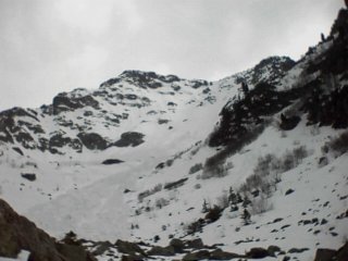
North-West face of the Grand Colon.
| Mountain Range | Belledonne |
|---|---|
| Summit | Croix de la Belledonne |
| Altitude | 2926 meters |
| Orientation | West |
| Starting Altitude | 1130 meters |
| Vertical | 1900 meters |
| Maps | IGN TOP 25 n°3335 OT |
| GPS Waypoint | N 45.1683°, E 05.9881° |
| GPS Route | Google-Earth: |
| Grade[1] | Danger: 1, Climb: PD, Ski: 2.2 |
| Comments | 30° over 250 meters |
| Snowboarders | A long traverse over the lacs de Domenons / Crozet |
| Equipment | Ski crampons |
| Road Access | Freydiere |
| Refuges | Refuge de la Pra? |
| Author | davidof |
I'd had a long drive from Paris and had been intending to ski in the Val d'Isere area. However the weather was very unstable so my ski partners sensibly decided to cancel. So it was Sunday afternoon when I started to cast around for an alternative. I decided to attempt the Croix, not particularly difficult but long. I decided to climb to the Refuge de la Pra and spend the night there for an early start the next day. I was unsure whether the refuge was open so took my sleeping bag and other affairs which considerably added to the weight.
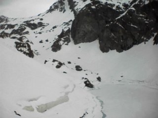
Lac Crozet
I'd left it quite late and it was already early evening as I left the narrow forest path and put on my skis. The sky was dirty grey with clouds and there was considerably less snow than the year before. I traversed across the large avalanche that normally purges the north-west face of the Grand Colon. This face is a good start for extreme skiing, being between 40 degrees at the summit. You can either enter it having reached the Grand Colon from the refuge de la Pra or climb the face itself. The latter is recommended as it gives a change to survey the snow conditions. The entry is sometimes through a cornice which can add to the excitement.
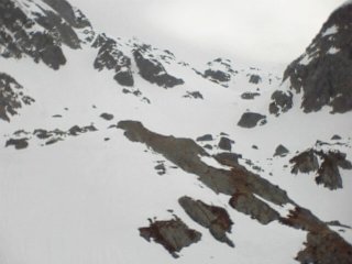
Col de la Pra
The guide books suggest carrying an ice axe and climbing rope for the traverse above the lake, at least to reassure beginners. Well I was on my own so the rope would be of little use but this year snow-shoers had worn a large track. On other occasions I can maybe appreciate the point, the slide into the lake would not be a pleasant experience but to be honest the slope is not that steep.
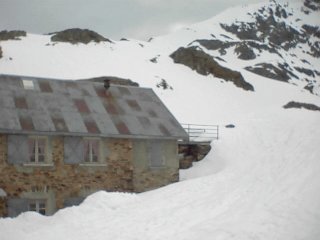
The Refuge de la Pra
Of more danger are the large snow slides that can arrive from the mountains above the lake, especially as you start the climb up the the Col de la Pra. I remember this as being particularly nasty on foot during the summer, a maze of rocks and steps, but in the winter the worst thing were the random tracks left by walkers and snow-shoers. Under the grey sky these had remained frozen and were like climbing on corrugated iron. Walkers, please keep to your own tracks and don't use those of the poor skiers.
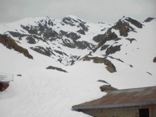
Towards the lacs du Domenon
From the Col it is a short slide southwards to the Refuge de la Pra at 2150 meters. The refuge is open at weekends from the 1st April (reserve to be sure) and open from mid-June for the summer. You can call the guardian on 04 76 89 94 60. It is a Club Alpin Français refuge so members, like me, get half price on the dormitory, but unfortunately not the food. When I arrived everyone was tucking into dinner, I was quite surprised to find anyone and had expected to sleep in the annex which has room for 12. The annex is supplied with mattresses and covers and is free to use when the main refuge is closed.
The refuge has indoor toilet facilities and is very comfortable. Some people have complained about the guardian but on my visits I have always found them to be friendly and helpful, this time was no exception.
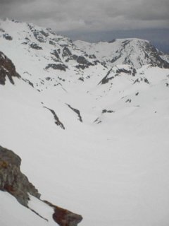
Looking back to the refuge
It is always easy to get up in refuge, as the grim light of dawn creeps into the dormitory people start to wake. I got up with them and had a cooked breakfast before leaving. A Czech lad was crossing over to Chamrousse and I discussed his route with him. I was the last skier to leave, ahead was a large group from France Telecom who had spent a long weekend ski touring in the area.
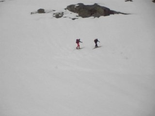
Traverse to the Lacs du Domenon
I climbed up a narrow gully and soon left the refuge far behind. The dawn did not look promising and gun-metal blue clouds hang menacingly over the Vercors massif to the south. I soon caught the tail enders of the PTT group, they were gingerly traversing up the steep slopes to the Lacs du Domenon. After this slope there is a long flat section along a large valley, on the left bank are the lacs, still frozen under their cover of snow.
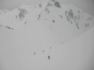
Equipe PTT, Grenoble on the summit slope to the Belledonne
By the time I reached the summit ridge the weather had closed. A lone skier was making good progress in front of me. To the east, at the col, is a large couloir which leads to the la Vallée de l'Eau d'Olle and beyond that l'Alpe d'Huez and the Grandes Rousses range but there would be no view over those magical summits today.
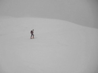
Lone Skier on the Summit Ridge
The summit ridge is quite steep, at least it seems so after a long climb. Either side the cliffs are steep and straying too far would risk a fatal slide into the void.
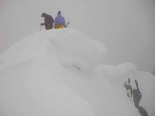
Summit Corniche
The winter snow and prevailing winds had left a splendid cornice on the summit, the PTT team decided to test its strength, lucky for them it held as they were right on top of the potential fracture line.
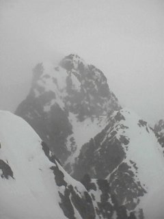
Grand Pic de Belledonne
Beyond the Croix de la Belledonne is the Grand Pic de Belledonne, some 50 meters higher than the Croix but completely inaccessible except for mountaineers. The Grand Pic has been on a few occasions but from the Vallée de l'Eau d'Olle side, but requires exceptional snow conditions.
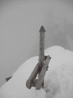
The Cross
The Croix normally stands a good 3 meters tall in the summer. There is a group that cuts down crosses on mountains at work in the Isere but they obviously have not made it here, yet!
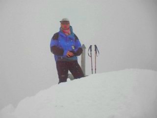
David at the Summit
One of the PTT team took my picture on the summit, but by this time the weather had begun to worsen with a mixture of hail and snow.
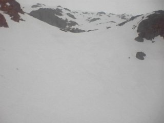
The descent
We beat a retreat, the descent to the lacs takes summer walkers a good 3 hours but we covered it in around 30 minutes on our skis. The rutted surface left by walkers was not fun to ski, however they had only gone as far as the refuge which left plenty of virgin, if somewhat crusty, snow.
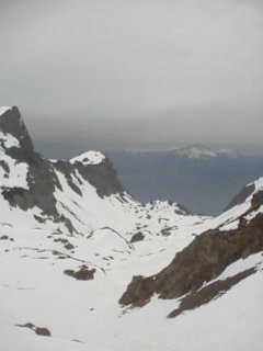
Lac du Crozet and Chamchaude in the background
The slopes down to the Crozet are steep but enjoyable to ski and despite the poor weather the view was impressive.
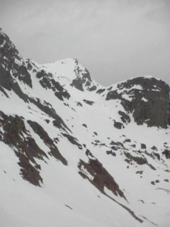
East face of the Grand Colon
Skiing past the lake I looked up to the West Face of the Grand Colon which I had skied the year before, a week later on the 10th of May. How different the conditions. I traversed above the Lac du Crozet and completed some nice turns down to the forest. It was then a good 45 minutes hike back to the car and home in Pontcharra.
Contributed by davidof on the 29 April 2001
<< | Freydiere | Le Grand Colon east face >>