Thu, 28 July 2022
Vertical Climbed: 805 meters (2,641 feet)
Vertical Descended: 801 meters
Rating: 3
This route is really best done in the opposite direction to how I tackled it but I didn't have any information about the road surface and the Climbbybike website has a completely erroneous profile for the climb. From the turn above Pela it is 7km at around 7% but there are plenty of sections at more 15% - the little ramps and flats seem to get lost in the noise. In the other direction you climb 500 meters over 17km.
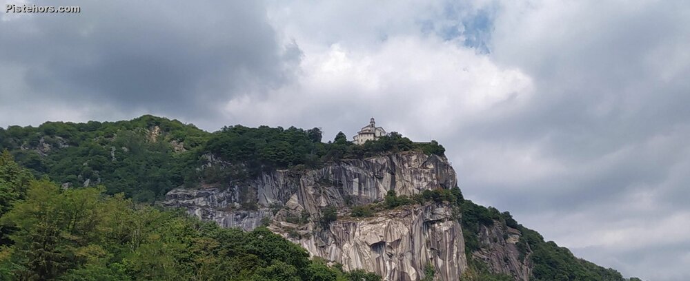
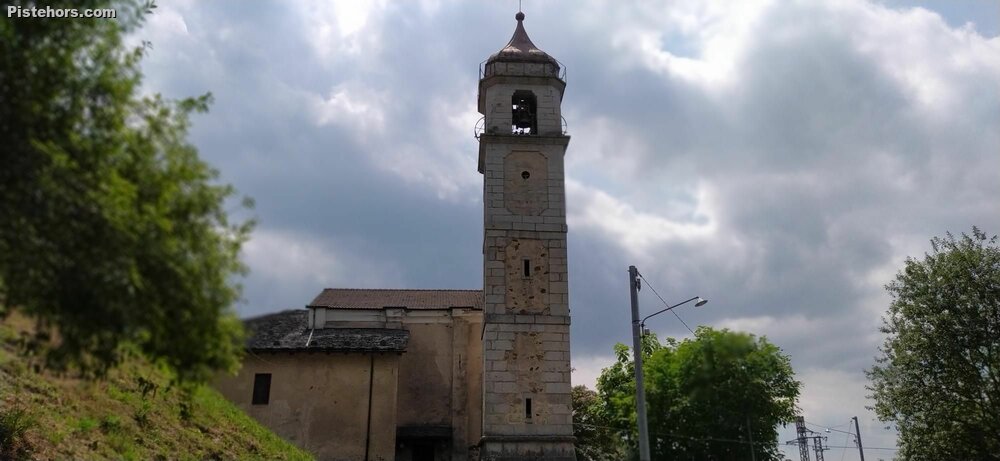
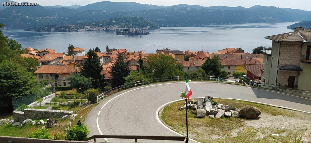
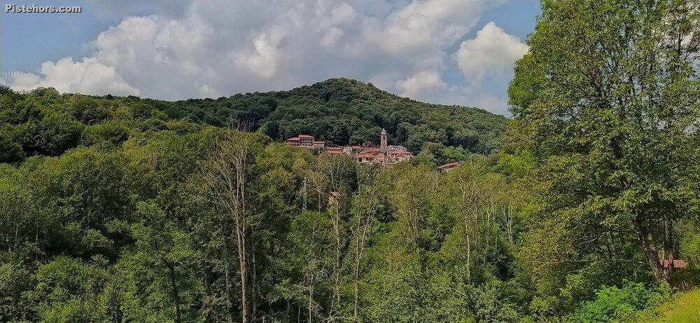
My suggestion is from Gozzano to climb via the quiet Bugnate backroad to reach Pogno and then take the main road to Strona, here there is a short tunnel just at the col or you can turn right before the tunnel to take a back road via Rastiglione. The winding road to Valpiana is not steep. At Valpiana follow the sign right to Boleto. You are on a forest road, the road surface is not always good but climbing is easy and not too steep as the road zig-zags through the woods. It is just 2.5km to the col, climbing 150 meters and this is the steepest part. On the other side of the col the road is much better and leads down to the village of Boleto than Arto on what is now a big, fast winding road giving you time to admire the lake. Somewhere near the col you can climb to a viewpoint (Belvedere dei Sabbioni 45.780555,8.3641469). Return via the Pella lake road.
There is a bar in Valpiana if you need refreshments and lakeside cafes at Pella.
Very humid, stormy. Quite a few biting flies in the woods. The road down to Valpiana has a broken surface in place.