Fri, 2 April 2010
Vertical Climbed: 630 meters (2,067 feet)
Vertical Descended: 630 meters
Rating: 2.1
Avalanche Risk: 3
Snowline: 900
Classic ski tour of the West Chartreuse. Attention the Col de Léchaud is very prone to windslab on both sides, note the prevailing winds. There have been a number of fatalities at this spot.
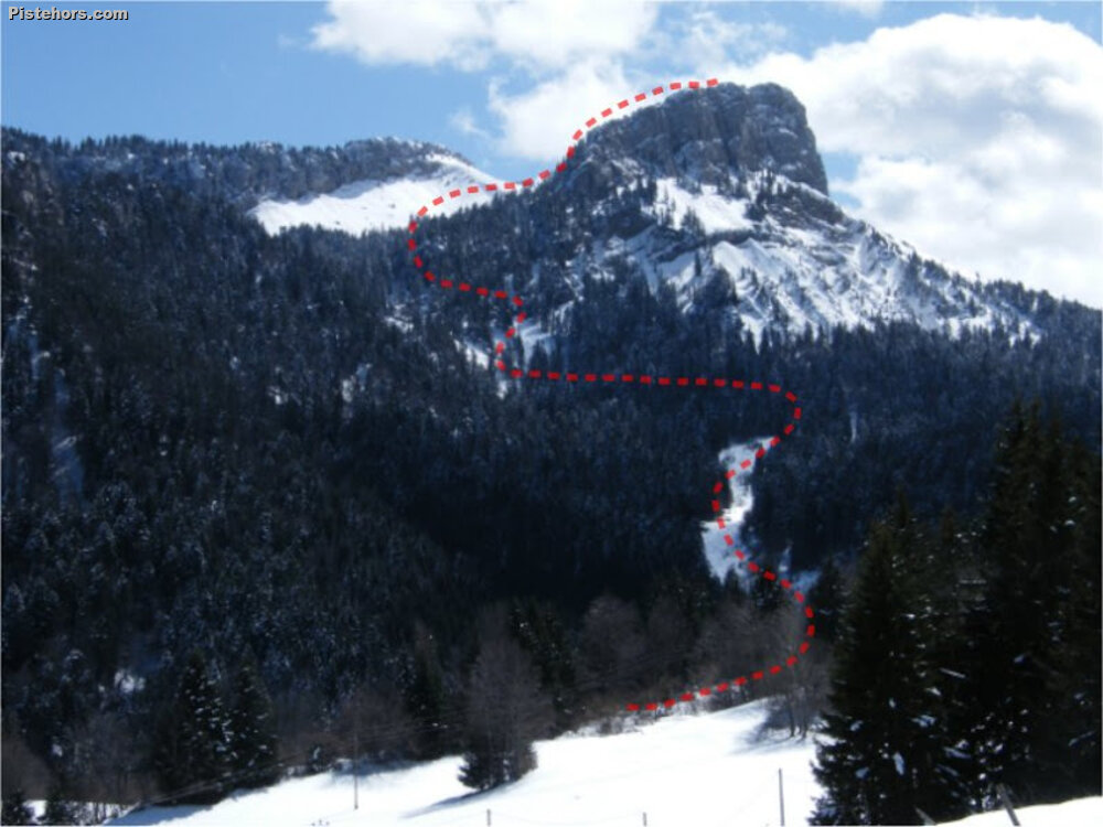
Route
From the entrance of the car park of the habert (barns) at 1120 m, climb the old ski slope to the south. At about 1330 m turn to the east to climb a steep forest track. This traverse is exposed to snow purges from the cliffs to the right after fresh snow. At 1445 m you reach the Combe de Léchaud and a sparse forest. Climb to the south to approach the Col de Léchaud on the left bank. From the col climb the open slope to the west to reach the Petit Som (1770 m) and the summit cross. Return via the same route, it is possible to ski directly from the summit but there are cliff bands to the left.
Trip Report
With another 40cm of fresh snow down to 900m altitude Thursday was the day to be out ski touring or off piste skiing. However the weather wasn’t great and I was working up in GVA. Friday looked sunnier but reports from Thursday afternoon suggested the snow was already getting crusty under the action of both wind and sun, at least at lower altitudes. Higher up, above 2200m, the wind had formed new slabs and the avalanche risk of Considerable seemed worthy of some respect.
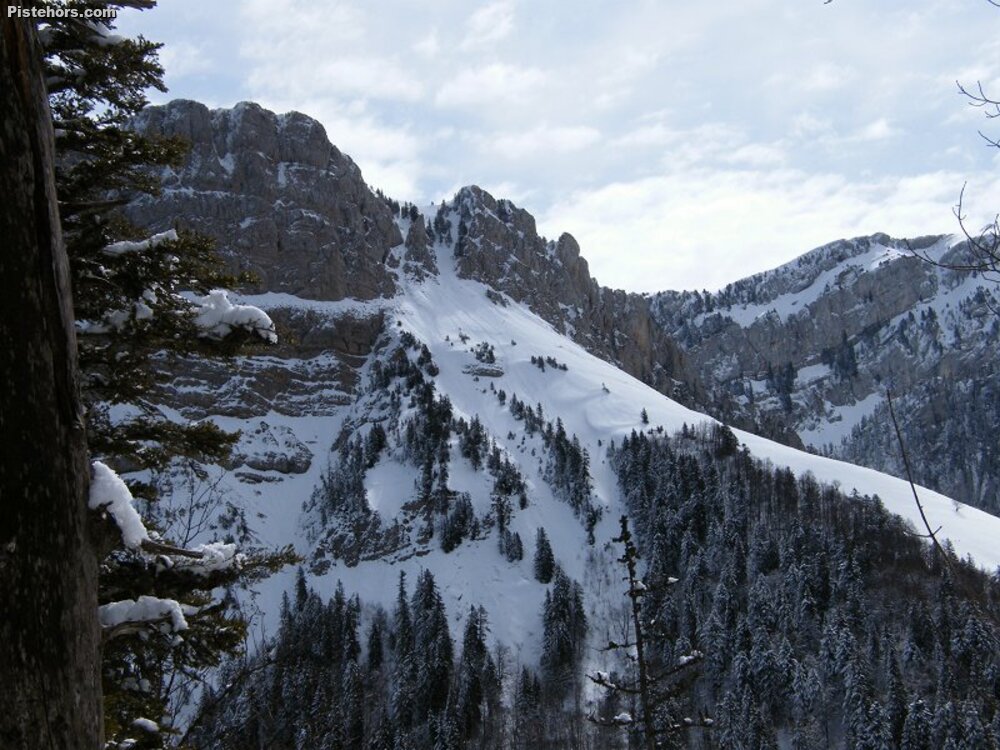
So in this deadly winter it was off to the Chartreuse. This time to ski the Petit Som from la Ruchère which I had planned in December but there was no snow. On arriving at the village the snow had a 2cm breakable crust. It wasn’t looking good. The 2nd big problem I realized I had no map. So from memory I headed south through the woods to the col de la Ruchère with the idea of attacking the Som by the west couloir. This wasn’t the best plan as it was long and indirect. Still it gave me a look at the couloir which had purged on the right bank and was still in slightly slabby powder on the left bank. The couloir seemed much steeper than the 35 degrees claimed in some guides. At mid point I had to take off my skis and climb a narrow gulley on foot. I wasn’t keen on coming down this way.Once reaching the summit of the Som I realized that the normal route was the best bet down, it was in sun kissed powder.
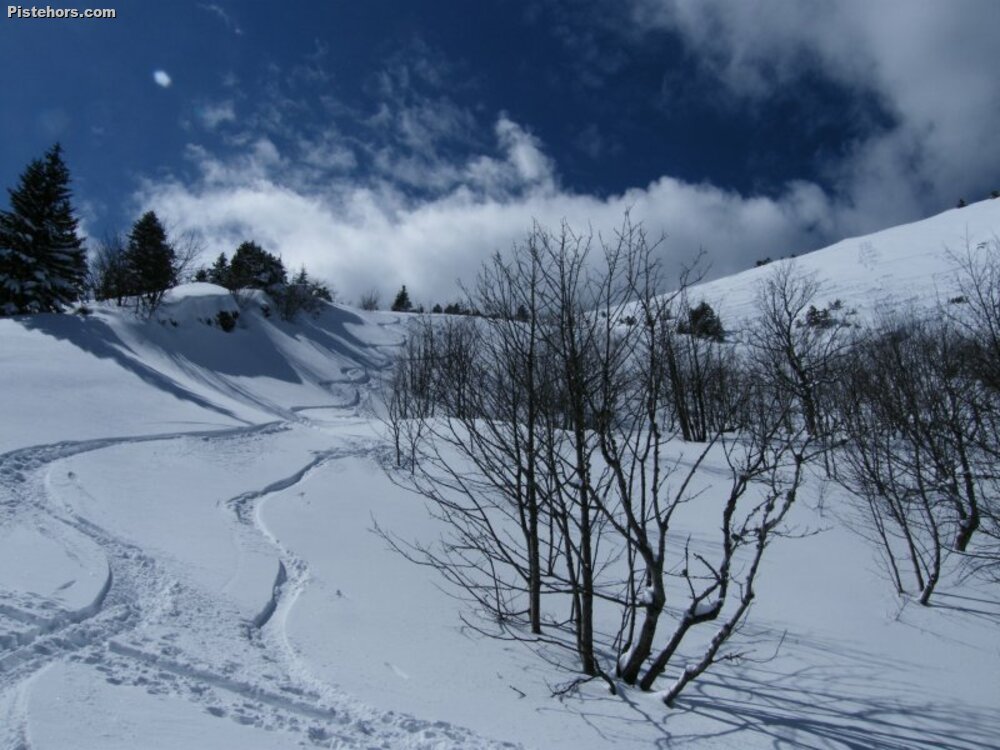
My nightmare crust had melted in the warm April sun so that at midday conditions were perfect. Some of the best skiing of the year through scented pine glades and forest trails.