Thu, 3 October 2019
Minimum altitude: 223 meters
Distance: 55.8 km
Slope Aspect: South
Vertical Climbed: 169 meters (554 feet)
Vertical Descended: 166 meters
Rating: 1
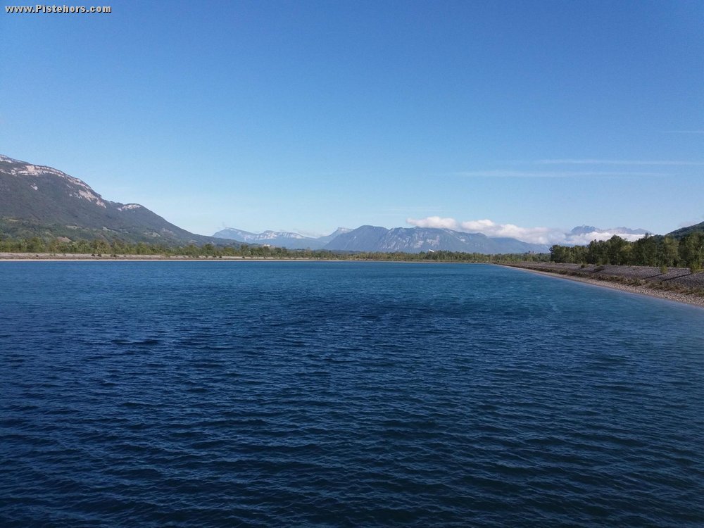
I fancied some flat riding today and decided that a trip up and down the river as far as the town of Pontcharra would fit the bill. I've not ridden the whole of this route before. I was surprised by the size of the Cheylas reservoir.
The route follows the river bank on a "tow path". There is no danger as it is a wide, well made up path but overall it is quite long. Possibility to shortcut via any of the Isere road bridges but the section from Goncellin to Pontcharra is quite long. The Crolles road bridge is narrow with heavy traffic.