Thu, 7 December 2006
Minimum altitude: 1,516 meters
Distance: 9 km
Slope Aspect: North-West
Vertical Climbed: 1,199 meters (3,934 feet)
Vertical Descended: 627 meters
Rating: 3.1
Avalanche Risk: 2
Snowline: 1,750
Route
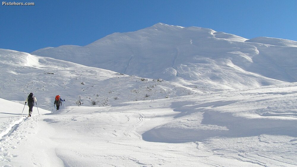
There are no particular difficulties as long as you have checked out where you will ski down as you climb as some of slopes below les Aiguillette are quite steep. The area is a favourite at the beginning and end of the season due to the very good road access (there are not many surfaced roads that climb to 2100 meters in the region!). However the area is very prone to avalanches, especially the north and west facing slopes which are an ideal 35°. There have already been a number of incidents and the sector should be avoided unless the conditions are stable.
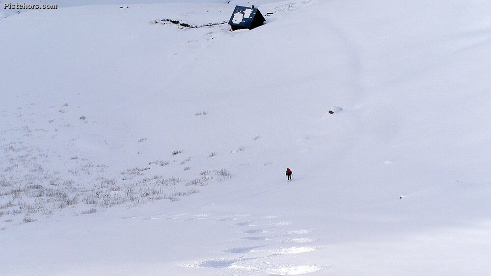
Cross over the Grande Maison dam and climb to the north passing an electricity pylon. Traverse to the Sabot cabin then continue north, zig-zagging up a short but steep slope then follow the ridgeline to the summit.
Variations
You can add some vertical by skiing the east slopes from the summit to the Cabane de la Cochette and it is then possible to return directly to Vaujany by the Col du Couard (danger avalanches) or by climbing back to the summit (400m +).
The Col du Glandon is closed after the Rivier d'Allemont from mid-November. In this case the Vaujany access is practical and the surfaced road climbs to the col du Sabot at 2100 meters. However the road isn't cleared after the Fenetre de la Villette at 1480 meters. From here follow the valley (summer path) to les Orgières (ruins) the chalets de Col en Bas (1966m) then the Col du Sabot (2100m). Turn north to cross just to the right of a small hill (point 2152 meters), the traverse under the Cote Mouton north face is avalanche prone, only attempt if the conditions are stable and keep a good spacing between group members. Climb to the ridge-line to join the col de la Gria (2344m) which gives a splendid view of the Aiguillettes and Vaujany below. Ski down to Grand Maison via the Cabane du Sabot then climb to the cold du Sabot via a track that should be visible beneath the snow. Total vertical 1400 meters.
Comments 35° over 100 meters - source IGN 1:25000 map
Equipment Ski crampons
Road Access Grenoble -> Allemont -> Le rivier d'Allemont > Barrage de Grand-Maison (road closed at the Rivier d'Allemont during the winter - see variants)
Trip Report
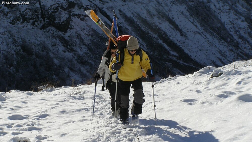
We (Isa, Marine) parked at 1480 meters after la Villette, the route was ice covered afterwards but this had melted by the afternoon. Sunny weather until 1pm but with a strong south-westerly wind on the ridge and summit. Snow surface temperature at 2457 meters was -6.5C. There was no skiable snow until 1750 meters at this had climbed to 1850 by the end of the day. There was a good base on the north-west slopes after the Sabot.
There was about 20cm of fresh snow from 2100 to the summit. The base was humid and where the snow had been blown there were some small localized slabs that didnt adhere to the base. The snow was icy close to the ridgeline and summit. The descent was in powder with some bits of wind-crust.