Fri, 23 March 2007
Minimum altitude: 1,125 meters
Distance: 2 km
Slope Aspect: North
Vertical Climbed: 3 meters (10 feet)
Vertical Descended: 244 meters
Rating: 1.3
Avalanche Risk: 3
Snowline: 1,080
Decription
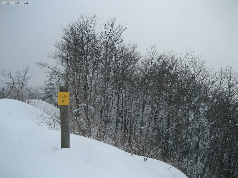
From the stables at the Bens take the trail to the west at the end of the road. Fork left on a forest path to joins the summer path towards point 1220m. At 1220m descend about twenty meters then climb the North face by zigzags to the top (yellow markings).
From the summit descend by the path towards 1380m (hairpin) then follow the sparse forest on the north ride to pt 1224 m. Cross the forest track but it is better to ski to the side in the forest up to the Col de Bens then take a field that leads to the parking lot.
Dangers
The south of the summit is exposed - cliffs. The Route presents almost no risk of avalanche but due to the dense tree cover requires deep snow.
Variants
Possible to ski to the south from the col de Bens to the Sarcenas road (Fontvielle). Possible to ski to the east to Bouliere and les Beauches via small valleys / trails.
Trip Report
Small reconnaissance trip to see the state of snow in the woods in Chartreuse. There isn't really enough to ski, but on the paths and meadows it's not bad. It snowed from 450 meters.
Not really enough snow depth to ski, the winter has not been very good and the Chartreuse has not really been skiable this year. The main interest of this route is if the avalanche risk is 4 or 5.