The latest snow report from Meteo France for the French mountains presents a varied picture, with snow coverage close to seasonal norms at higher altitudes but significantly below average at lower elevations. While an anticyclonic weather pattern is expected to persist, it will have little impact on snow depths across most mountain ranges.
Alps: Contrasting Conditions Between North and South
In the Northern Alps, the recent cold and unsettled weather has refreshed the landscape, with snowfall reaching as low as 600 meters on February 26. At 2,000 meters, around 20 cm of fresh snow has fallen. While snow cover remains within seasonal norms above 2,000–2,200 meters, it is notably lacking at mid-mountain levels. Skiable snowlines range from 1,200–1,500 meters on north-facing slopes to 1,500–2,000 meters on gentler southern slopes, with variations depending on location from the Haute-Savoie to Isère.
The Southern Alps have largely missed recent storms. Snow coverage is near normal above 2,000–2,200 meters but significantly below average at lower elevations. Skiable snowlines vary from 1,500–1,700 meters on north-facing slopes to 2,000–2,300 meters on less steep southern slopes, following a north-south gradient from the Hautes-Alpes to the Alpes-Maritimes. A high-pressure system will dominate the weather over the weekend, bringing mild conditions, though the Italian border region may see up to 20 cm of fresh snow above 1,800 meters by Sunday.
Pyrenees: Improved Snow Cover at Higher Elevations
Successive snowfalls since the start of the week have enhanced the winter landscape in the Pyrenees, with light snow falling to 1,200–1,600 meters. However, at lower altitudes, natural snow cover remains below normal. Above 2,200–2,400 meters, snow conditions are adequate, particularly near the frontier with Spain. The eastern ranges, however, continue to suffer from below-average snowfall at all elevations. Skiable snow is found around 1,700–1,800 meters on north-facing slopes. Their was further snow over last weekend bringing around 10 cm of accumulation at 1,800 meters.
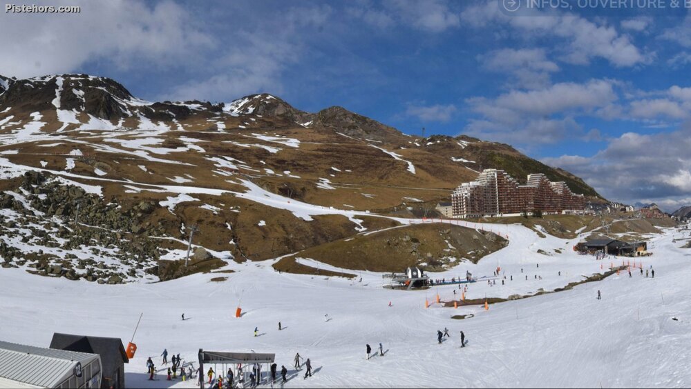 Col du Tourmalet - 1800m Pyrenees (photo credit OT)
Corsica: Persistent Snow Deficit Despite Fresh Snow
Despite some fresh snowfall this week, Corsica continues to experience a significant snow deficit. Snow is almost absent in mid-mountain areas and remains scarce even at higher elevations, where strong winds have further diminished coverage. Skiing remains challenging due to both the quantity and quality of the snow, though skiable snow starts around 1,800–1,900 meters, with a more consistent base found from 2,000 meters. A winter storm over the weekend brought 20–30 cm of fresh snow, with the rain-snow line fluctuating between 1,500 and 1,700 meters.
Other Mountain Ranges: Limited Snowfall and Marginal Conditions
Jura: Recent snowfall has created a thin snow cover above 800 meters, with 20–25 cm of fresh snow recorded at higher elevations in Haut-Doubs and Haut-Jura. However, there is no underlying base, meaning the snowpack remains prone to a rapid thaw. Cold and dry weather in the coming days should slow melting.
Vosges: Snowfall over the past few days has restored a winter landscape from 600–700 meters upwards. Snow depths average 30–40 cm above 1,200 meters.
Massif Central: The snowpack had completely melted at all altitudes in Cantal and Puy-de-Dôme before a weak snowfall this week brought a temporary dusting. Currently, only minimal snow remains, with 7 cm at 1,500 meters on the Sancy. Light snowfalls may continue in the coming days, but significant accumulations areunlikely.