France’s mountain snow cover heading into the end of December is variable and strongly dependent on the massif and altitude. In the Alps, snow conditions vary significantly from north to south and with elevation. In the Northern Alps the snowpack above two thousand metres is generally close to normal for this time of year, but lower down and on south-facing slopes the snow is clearly below average. This is partly because there have been few significant snowfalls in December and recent warm dry winds (foehn) have reduced snow depths in the lower and middle elevations. Typical depths in north-facing areas in the Northern Alps range roughly from twenty to eighty centimetres at two thousand metres and seventy to one hundred eighty centimetres at two thousand five hundred metres.
In the Southern Alps there is a good layer of fresh snow on the highest ridges such as the Maritime Alps and Haut-Verdon where snow depths are within normal ranges for late December. Elsewhere in the Southern Alps, snow cover remains below average because it has been longer since significant snow fell.
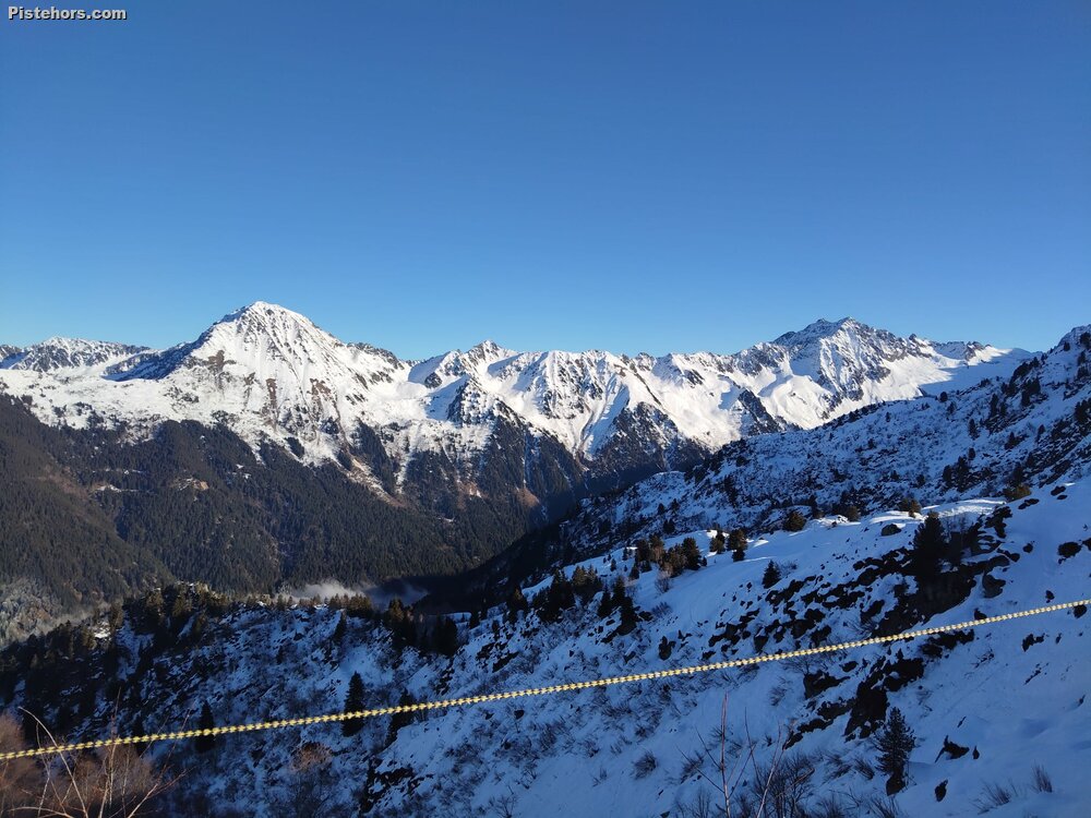
The Pyrenees have received steady snowfall earlier this week and now show a clear winter snowpack from middle to higher elevations, with more abundant snow on north-facing slopes and a particularly deep cover on high peaks like Canigou, where conditions are even above normal in places.
In contrast, smaller or lower massifs such as the Jura, Vosges and Massif Central have very limited natural snow. In the Jura and Vosges only very minimal residual patches exist at higher elevations with perhaps a few centimetres, and in the Massif Central the highest summits have thin fresh snow cover.
Looking at the weather outlook for the next days around Christmas and into the weekend, a new weather system bringing snow mainly to the southern mountain ranges is expected. The forecast for Christmas Day indicates a return of east-sourced weather that will generate significant snowfalls, especially in the Pyrénées-Orientales and nearby parts of the Pyrenees and parts of the Massif Central and Southern Alps. In these areas accumulations of several tens of centimetres are expected above roughly one thousand eight hundred metres, and locally up to one metre fifty at the highest points such as the summit of Canigou. In the Cerdagne and Capcir regions, fifty to seventy centimetres and more may fall above two thousand two hundred metres. There will also be measurable snow in the high valleys of the Aude and Puymorens.
This snow event will improve mountain snow cover in the southern ranges, reinforcing existing snowpack and helping to offset earlier deficits at some elevations. Conditions in the Northern Alps remain drier and cooler but with less fresh snow expected in the immediate term. Localised variations will depend on elevation and exposure, with higher summits and north-facing slopes generally maintaining better snow cover.
Overall, ski areas and mountain environments will see contrasting conditions this holiday period: fresh and abundant snow in parts of the Pyrenees and Southern Alps, more modest and below-average cover at lower elevations in the Northern Alps, and very limited snow in the smaller massifs. Continued monitoring of weather and snow forecasts is advised for travellers and outdoor enthusiasts.