Minimum altitude: 459 meters
Distance: 51 km
Slope Aspect: South-West
Vertical Climbed: 1,770 meters (5,807 feet)
Vertical Descended: 1,743 meters
Rating: 5
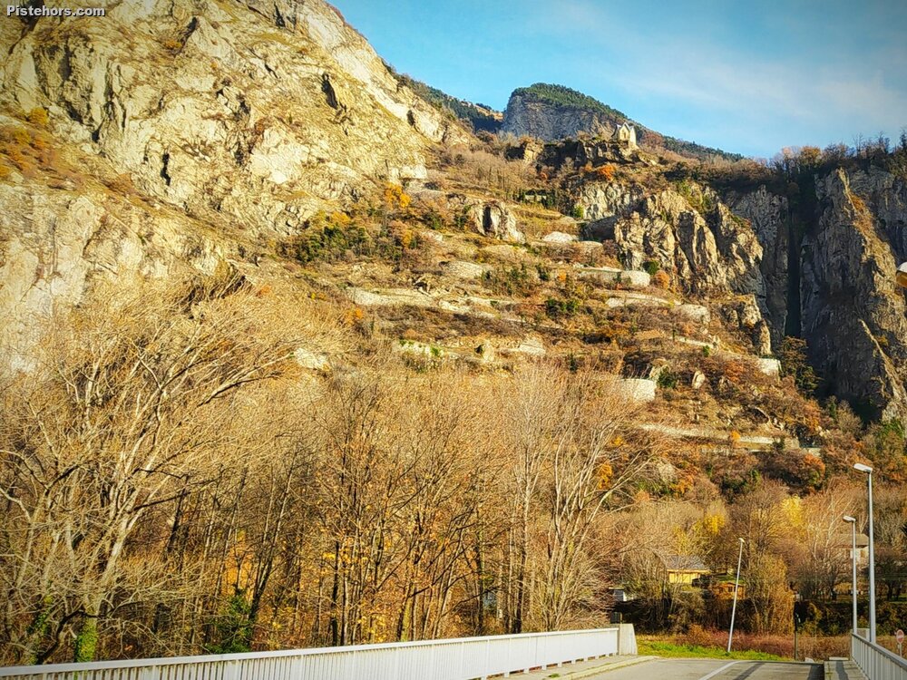
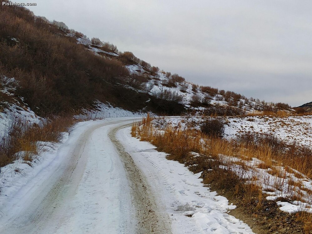
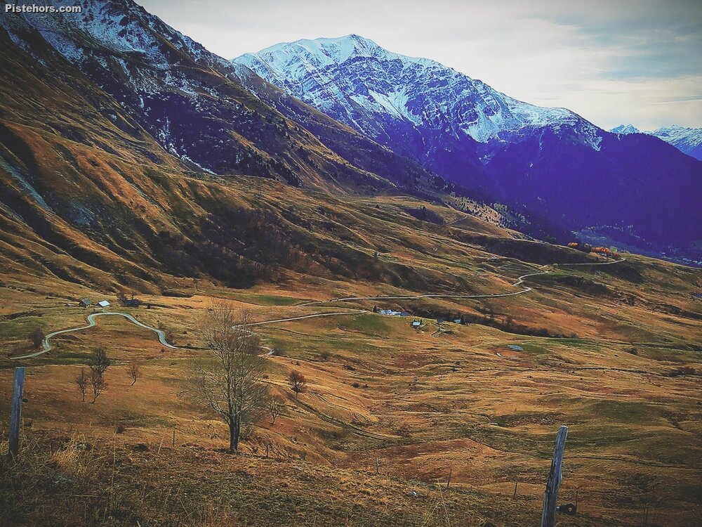
I took the back route into the Madeleine via the lacets de Montvernier Col du Chaussy and the lac du Loup. There are some sections of 13% above Montvernier on a balcony road. Things calm a bit over the Col du Chaussy but you loose around 200 m vertical and the road had ice in places. At Bonvillard take a right signposted to the Lac du Loup and Madeleine. Again the road is around 12-13% to the lac du Loup. Above the lake the road surface degrades finally becoming gravel. There is 2.5km of climbing on poor unsurfaced roads, generally okay on a road bike but a few short sections are a bit rough. There are around 6km after the col on gravel but it is a mild descent. Only this section was in the shade and covered in snow and ice. I overcooked it and fell off, injuring my left ankle. It took me 5 minutes to get back onto my bike as I was stunned by the fall and worried I'd broken my ankle. On reaching the Soleil trail it was very muddy and I opted to descend directly to the St Francois, not the right choice but I was suffering from my crash. I would have been better following the road around to rejoin just before the Madeleine.
The descent was cold but without incident. I traversed back to my car but found I couldn't stand on the pedals for the small climbs. Watch this space.
Generally good but by 11am thin cloud was obscuring the sun. Snow and refreeze ice for about 1km after la Buffaz as the road was in the shade (effectively NW slope).