Fri, 24 February 2023
Vertical Climbed: 723 meters (2,372 feet)
Vertical Descended: 716 meters
Rating: 3
The Col de la Luère is situated at an altitude of 715 metres in the Monts du Lyonnais and separates the Brévenne and Yzeron valleys on the borders of the communes of Pollionnay and Saint-Pierre la Palud. From Grezieu you climb 422 meters over 7.1km given an average gradient of 6% although there are some ramps of 8%. The col is very popular with local cyclists.
There are suburbs to cycle through all the way out to Craponne, about 15km. The climb starts from Lyon city limits, gradual Grezieu la Varenne then more sustained. About 1 to 1h30 to ride out but just half an hour back into Lyon due to the descent.
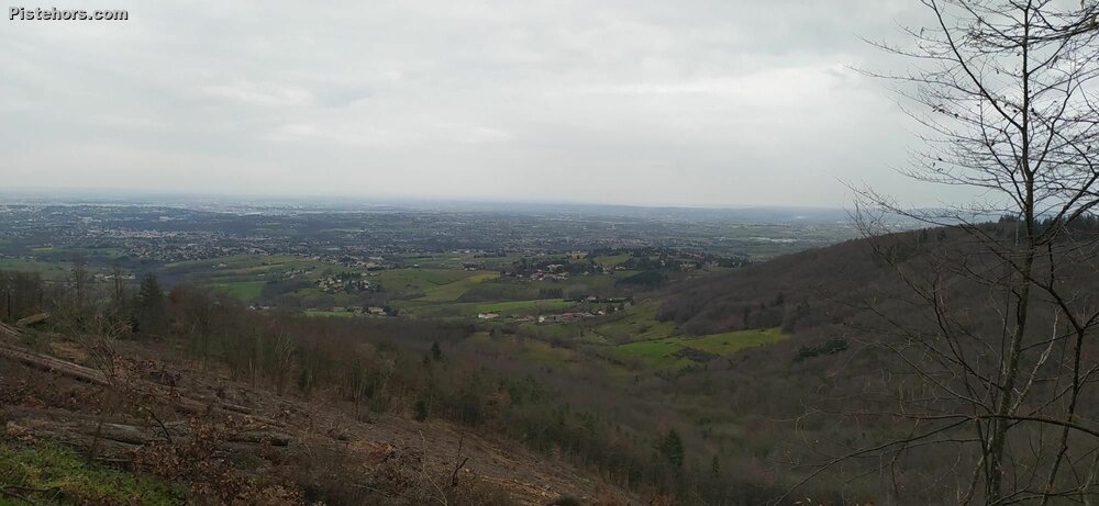
Rain had threatened all day with a few spots here and there. The roads were damp without being wet so I decided to head out to a local col in the Monts du Lyonnais. I'd not ridden this way since the autumn. There was a lot of faffing through suburbs with the usual stops and traffic lights with a long hill / false flat to Grezieu and the climb proper. It was a bit wetter and colder but the climb was a nice, even grade. Some riders were doing hill repeats for training - they passed me a couple of times. Finally the col. A bit of a dissapointment as the road continues up another 2km to another col and it is tree covered, as is the climb, so no view.
I took it gingerly on the was down due to the wet roads then blew through the surburbs taking a different route back through Tassin la Demi Lune which was much faster.
Rain threatening, wet roads for the last 3km. Cold at the summit - 4C.