Minimum altitude: 704 meters
Distance: 65.9 km
Slope Aspect: South-East
Vertical Climbed: 2,266 meters (7,435 feet)
Vertical Descended: 2,254 meters
Rating: 5
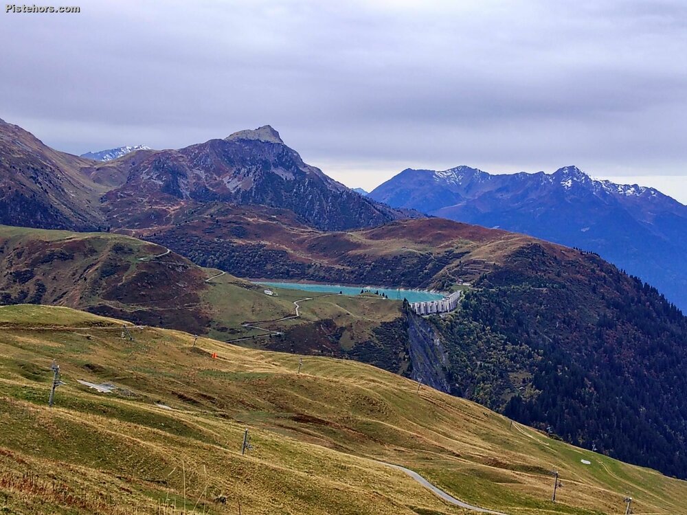
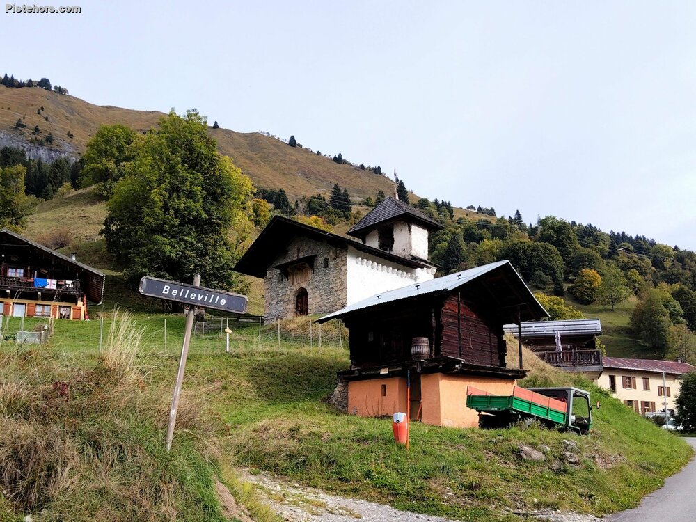
The plan was to go over the Mont Joly pass, then come back via Les Saisies and Bisanne for a total elevation gain of 1,900 meters. But that was without taking into account the road works. The road after Hauteluce was closed for repairs. I looked for a plan B on my phone. I found a secondary road in Annuit, half paved, half gravel, which climbs up to Les Grangettes. An additional 200 meters of elevation gain and 100 meters of elevation gain for the detour on the way back.
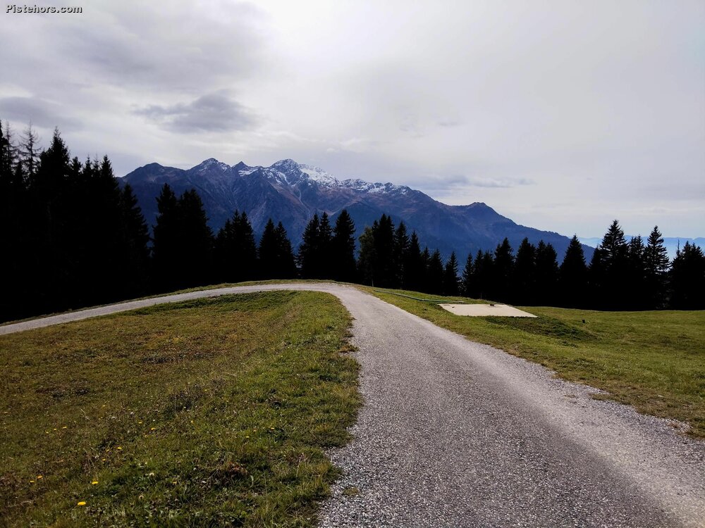
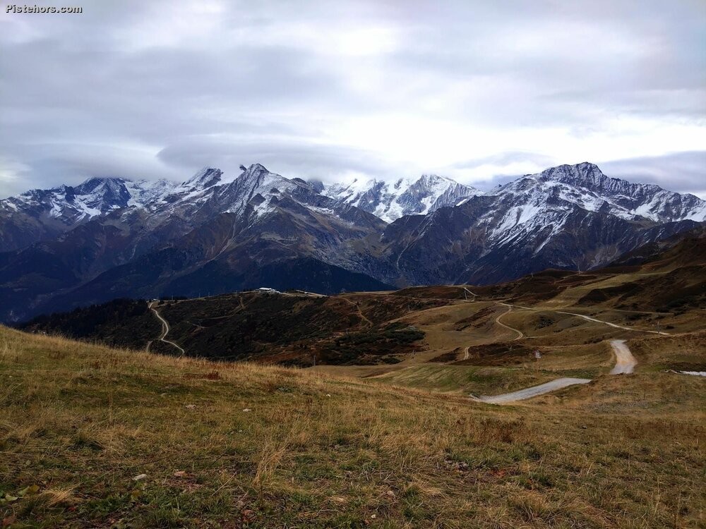
The climb to the Col du Joly went smoothly. It was relatively easy, with no overly steep slopes. At the top, the cold wind didn't encourage me to linger. I took a few photos, put on my windbreaker, and headed down. On the way, I spotted a large children's party balloon deflated on the side of the road. None of the people in their cars had thought to stop and pick it up. More plastic in the environment. I slipped it under my windbreaker, where it provided an extra layer of insulation before being recycled in Hauteluce.
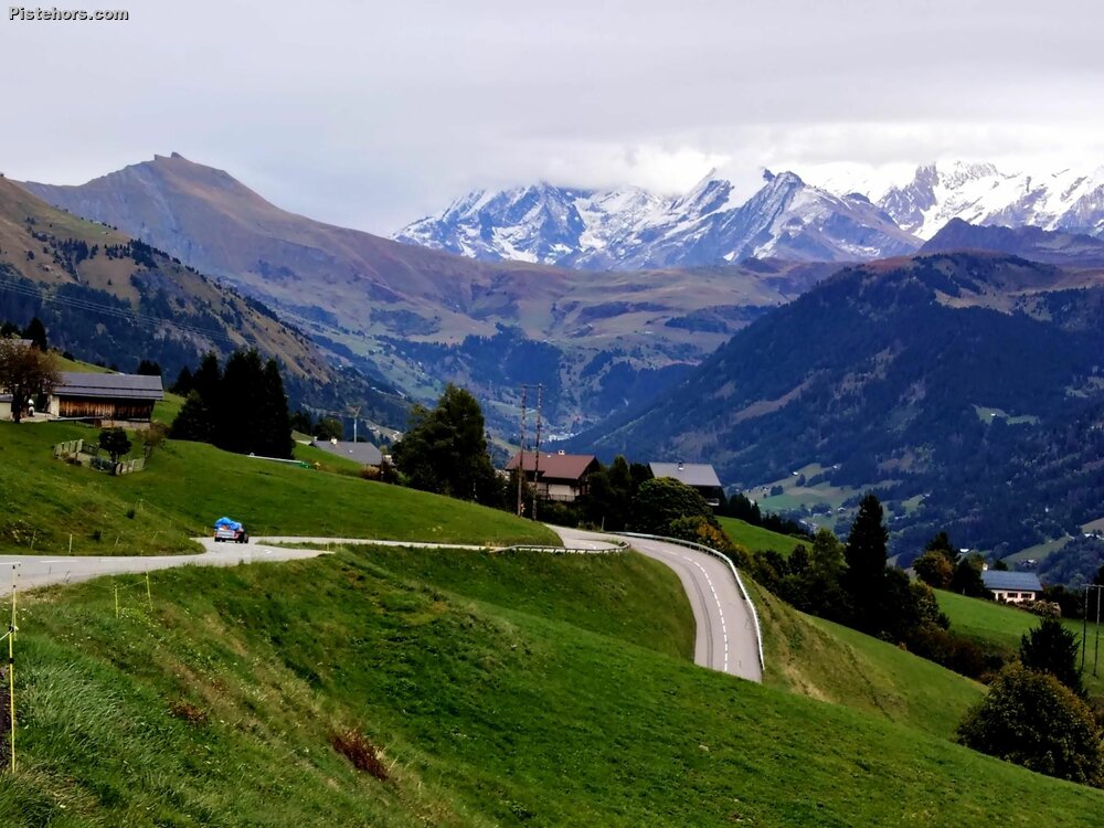
The climb to Les Saisies was relatively easy, with a gradient of about 7%, but I started to tire just before the turnoff to La Signale de Bisanne. On the descent, I took a winding road, but it had practically no surface left. It would be nicer to ride up. There were no cars.
I finally feel on form this year, too bad the cycling season is coming to an end.
8°C in the morning. Gray and cold skies. I'm glad I dressed for the weather. The road between Hauteluce and Les Prés is closed for construction. Impossible to pass, even on foot. The Route des Filles near Bisanne is starting to lose its asphalt. Almost a stretch of gravel. Very little traffic except for construction trucks for Les Saisies.