Thu, 23 September 2021
Vertical Climbed: 2,179 meters (7,149 feet)
Vertical Descended: 2,162 meters
Rating: 4
North to South, or South to North? That is the question and it is not entirely simple to resolve. The north sides of the cols are cooler, so a good plan in the summer for climbing but also not a good plan in the late autumn for descending given the risk of wet leaves or even some black ice. Then there are the three climbs. the Col du Granier is 1136m the Col de Porte 1326. Is it better to get the harder climb over first or leave it to last? For my part, S to N, hard climb first and a nice, fast, flat ride alone the valley home when I'm tired. With a cake stop in Chapareillan.
So the climbs, the Col de Porte. 230 meters in Grenoble, 1326 m at the col (with a water tap at the col on the right). That is 1116m of climbing with a flatter section between the Col de Vence and le Sappey but bits of the climb at 11%. It is a tough one, especially when the sun is out, beating down on the exposed sections above Corenc. It only just scrapes into the top 250 of France's hardest climbs.
The descent is fast and shaded with a couple of curve ball corners down to 820 meters then a very steep climb into the village of St Pierre de Chartreuse. The Cucheron is 350m of climbing at 8% but with some fairly long sections of 11% near the col. I'd say this was the hardest section today. The climb took me about half an hour. I was taking it easy now, conserving energy. I'd left home at 13h, reached the Col de Porte at 14h50 and was at the top of the Cucheron at 15h30.
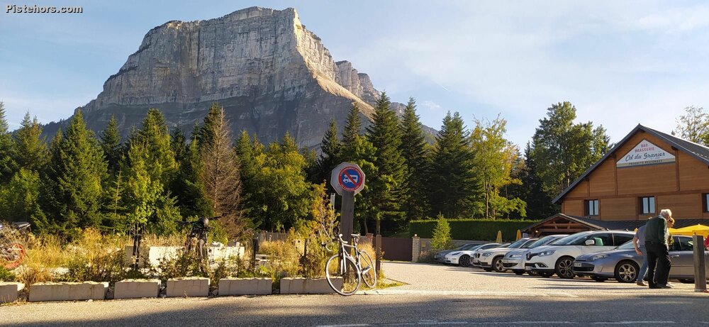
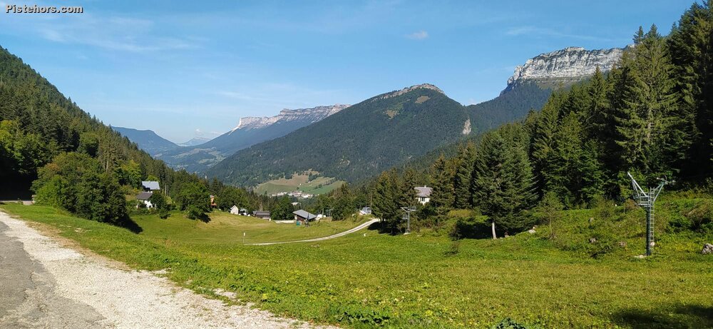
The descent to St Pierre d'Entremont features a small climb. So no relaxing. The road is good with some nice switchbacks before the village. The village is really cute, then the climb to the Granier. The climb is flattish to begin with, nothing really challenging on the first 6km with an average slope of just 4%. I ticked this off in around 20 minutes of not particularly strenuous riding. Afterwards the road ramps up to 6% for a 25 minute climb to the Col du Granier with a section at 11% by the Granier ski area. Overall the climb is 475m over 9.5km.
By the Col du Granier I'd covered 55km, it was around 16h30, the ride across the Chartreuse has taken 1h45mins, which I was happy with. There followed a fast descent (PR) to Chapareillan (65km), a cake stop at the bakers then a fast 25km rolling ride back home. About an hour along the valley fighting my way through the rush hour traffic.
Food wise: 2 pom pots plus a isotonic drink tablet I used for the final Granier climb. Seemed to work out okay this time.
Warm but not insufferable. 15C on the cols. Roads are ok, quiet after the col de Porte but 5 sections of major roadworks between le Sappey and the Granier.