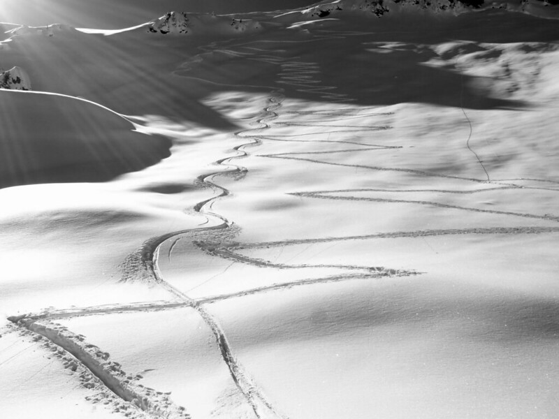
There was an avalanche on the Pointe de la Combe Bénite @2400m altitude above Aime la Plagne involving 7 off piste skiers. They were on the south face. One skier was buried up to his shoulders, the other under 150cm of snow. Recovered after 20 minutes under the debris thanks to her avalanche transceiver she was “only” suffering from hypothermia. The party was lucky that both the PGHM and guides were training nearby.
An 18 year old was killed skiing between open pistes at Bernex when he fell and his head struck a rock.
Some fresh snow is expected in the Northern Alps this Friday followed by sunny weather over the weekend. Avalanche risk between 2 and 3 tomorrow in the Northern & Hautes Alps depending on the mountain range and altitude. Still High risk in the Pyrenees except at lower altitudes where the risk will drop during the course of the day.
According to Meteo France the snowcover is remarkable and abundant in all mountain ranges and altitudes both in terms of quantity and quality. There is 40 to 80% more depth than average at this time of year and is +100% at 1200 m. altitude. Records have not been broken but for example at the Col de Porte in the Chartreuse (1325m) there is 205cm of snow which was last seen in 1984.
At 1000m there is between 70-90cm of snow, a little less in the Maurienne, Haute-Maurienne and Vercors
At 1500m there is around 160-180cm; 100-130cm in the Maurienne, Haute-Maurienne and Vanoise and between 200-240cm in the Beaufortain, Chartreuse and Belledonne. This is reflected in the higher avalanche risk seen in these ranges over the last few days
At 2000m there is between 230-260cm; a little less 180cm in the Vanoise, Maurienne and Haute-Maurienne and 300cm in the Chartreuse, Belledonne and Grandes Rousses.
On Monday Lionel Tassan reported 19 days of snowfall in the Chartreuse. http://lta38.over-blog.com/
In the Pyrenees it is like the heady days of the 1970s all over again with 200cm of snow at 1500m with record snowfall in the Haute-Bigorre (Bareges), Aspe-Ossau, Couserans and Orlu. The record snow cover has built up quickly since the start of January over 2000m and mid January at 1500m thanks to a succession of storm cycles. Since the start of 2013 2.5 time the quantity of snow has fallen compared to what would normally fall in the whole of the December to February period (3 months). Snow cover at 1500m is 4x normal. There is less snow in the East which has been reflected by lower avalanche risks.
Some figures:
Lac d’Ardiden (2450 m) 422cm (previous record since 1996 : 397cm in 2003)
Cauterets (1850 m) : 465cm (previous record since 1971 : 430 cm in 1972)
Val-Louron (1450 m) : 165cm (previous record since 1978 : 150cm in 1986)
Arette - La Pierre Saint Martin (1650 m): 300cm (equal to the previous record since 1971 set in 1981)
Boutx - Le Mourtis (1400 m) : 235cm (previous record since 1978 : 220 cm in 2005)
Port d’Aula (2150 m) : 420 cm (previous record since 1996 : 328cm in 2009)
- Ascou – Pailhères (1500 m) : 275cm (previous record since 1986 : 220cm in 2005)
- Guzet (1400 m): 220cm (previous record since 1983 : 172cm en 2005)
[Note: Sorry I’ve no Internet access at the moment, this was sent from my phone and the upload rate is catastrophic (like being on a 300 baud modem - merci Free/France Telecom]

