(This is an edited version of a much longer blog entry found here. Warning: the full version contains less snowy and more family friendly photos.)
Apparently this winter has recorded some of the worst snow conditions in at least the last forty years. I’ve seen other articles that mention the worst winter in “living memory,” “recorded history,” and in the last 1,000 years. Not sure what all of that means, really; all I know is that while it was bad it still beats the winter I spent in Washington, DC, and that includes the winter I spent in Guadalajara, Mexico. So while it was bad, and while I sure hope it will be better next year, this year has provided many good memories, the latest (and maybe last for the ski season) came over Easter break in the Haute-Maurienne.
Where is the Haute-Maurienne? I’m not exactly sure. It’s in France. It’s in the Savoie. It presses up against Italy. Several little birds chirped to me that of the devastating winter the Haute-Maurienne was the northernmost region that was able to cash in on all the southern-tracking storms that evaded much of the Alps. So we packed the car, drove down to Chambéry, made a big left turn and headed for the wall of mountains that divides France and Italy.
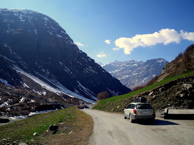
Bonneval-sur-Arc, designated as one of the “Plus Beaux Villages de France” sits at the head of the Maurienne valley and is squashed between the Graian Alps to the north and east and the Dauphiné Alps of the west and south. It is also hemmed in on the west and north side by the massive Parc National de la Vanoise and on the east and south side by the glaciers along the Italian border. A good prescription for fine ski touring. Directly above the pistes at Bonneval-sur-Arc is the Glacier Superieur Vallonnet and if anything promises to hold good snow it’s a high altitude glacier. So up and away I went.
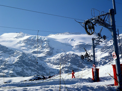
Access is pretty straightforward and easy. Just duck underneath a bunch of poles and wires and wheels and you’re free and clear. It also helped to start out by following a guided group of five.
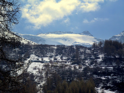
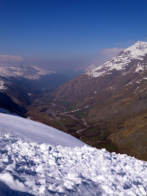
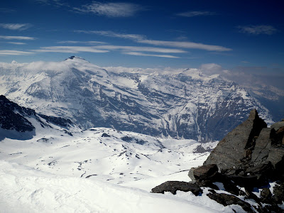
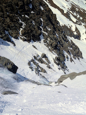
The first trick, especially in a low snow year, is traversing around the south facing Pointe d’Andagne. Looking back to the village of Bessans:
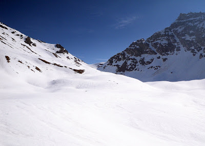
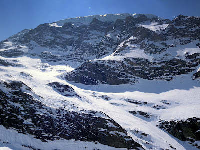
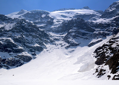
As soon as you stop traversing on the sides of your skis and feet, losing elevation to avoid exposed rock and avalanche debris, you turn straight up. Cresting a saddle, you finally feel like you’ve entered the ski tour proper and left the world of rock scrambling and ski slipping behind. The map labels this valley the ancient glacier Andagne (Ancien Glacier d’Andagne). I’m not sure what qualifies as an ancient glacier but it looked pretty good to me.
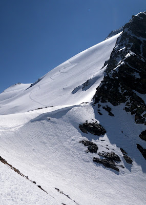
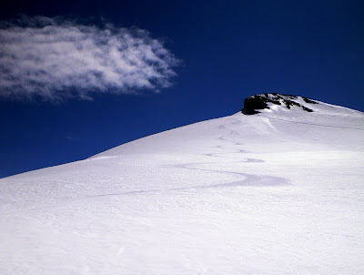
The far pass constituted the goal for the second phase of the journey so for most of the next hour I slogged up the ancient glacier with the Col de la Fourche as my destination. Here is also where I left the group of five far behind. Closing in on the Col with a different sort of twelve-step program in my near future:
Of course a good twelve-step program never really concludes; along the crest there was more traversing under the Pointes du Grand Fond with occasional peeks off the other side into the Crêt de la Terre and the Avérole valley. Somewhere at the bottom is the Refuge d’Avérole where skiers access the Glacier du Grand Fond, Vallonnet, and Glacier des Evettes from the south.
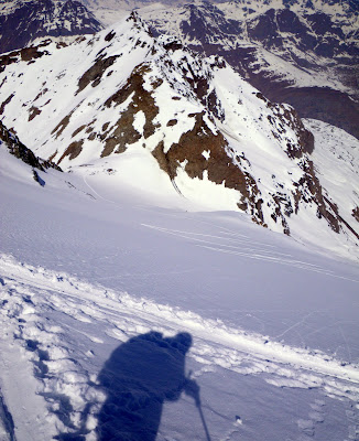
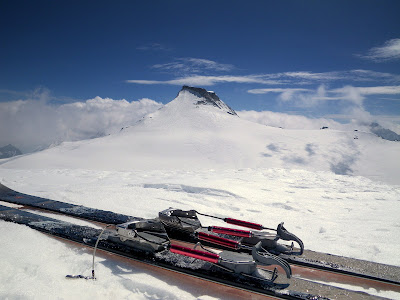
Winding around the Pointes du Grand Fond you eventually climb up to the Dôme du Grand Fond (3,460 meters) that overlooks the Col du Grand Fond and, at 3,637 meters, Albaron peak. L’Albaron and my traveling companions:
At noon I was less interested in losing 150 meters only to climb another 300 meters to gain the peak so I turned my attention down.
And down. And down. And down. Sixteen-hundred meters in all through a series of light, powdery snow to transformed spring butter to chunky, icy nastiness to a long finish of European sweet corn. In other words, the top was good, the choke was bad, the bottom run-out was good again.
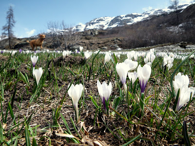
With that accomplished (twice), it was time to turn back to family, food, hiking, and enjoying Easter break on much greener pastures.