Sat, 8 October 2011
Vertical Climbed: 1,605 meters (5,266 feet)
Vertical Descended: 1,605 meters
Rating: 5
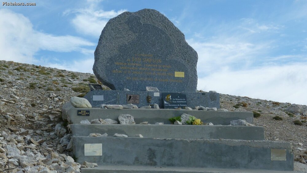
The idea was to come down to Avignon for a bit of tourism and to ride the Ventoux. However the forecast was for wind and more wind. I decided to head to Bedouin anyway, make an early start before the wind got too strong. Start at 7ish and descend just after 9. The climb went pretty well up to the exit from the forest by the small ski area and chalet Reynard but afterwards it was a real hurricane. At the well named col des Tempêtes at 1km from the summit I had to get down as low as possible to keep out of the wind. Finally the last hairpin right but at this point a strong gust blew me from my bike and I ended with a small ding in the top tube (now repaired).
At the summit it was crazy windy. There was a Jaguar car meet. Somone was going down in the back of a camping car and another cyclist had climbed from Mont Serein which was equally windy. I had to walk down as far as the Col des Tempêtes as it was impossible to ride. Afterwards a delicate descent to the woods where all became more or less calm. Arriving at Bedouin around 10am groups of cyclists had finished their morning cafe and were just heading out onto the climb.
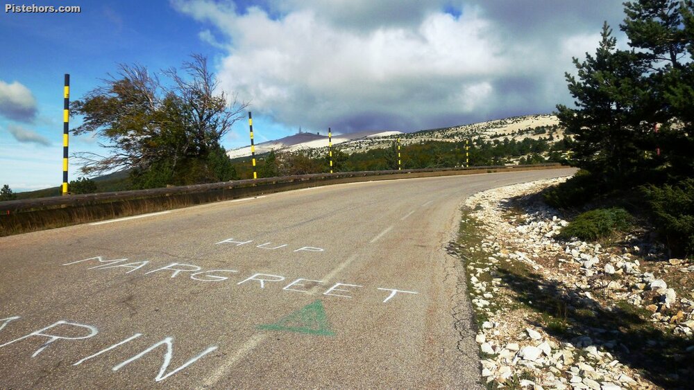
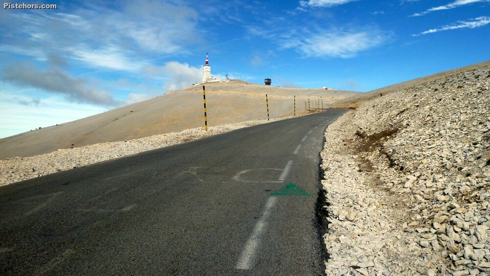
The climb is 21.2km from Bedouin, climbing 1600 meters at 7.6% with the steepest slopes in the woods before the Chalet Reynard at 12% although the exposed summit road is arguably the hardest section, especially in summer.
Extremely windy at the summit with rime ice forming and falling from the building. Impossible to cycle down the first km due to the wind which was over 100km/h