Sat, 1 July 2023
Vertical Climbed: 1,009 meters (3,311 feet)
Vertical Descended: 997 meters
Rating: 3
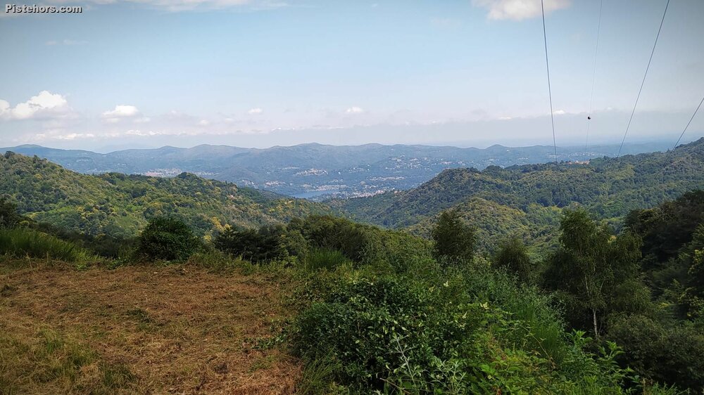
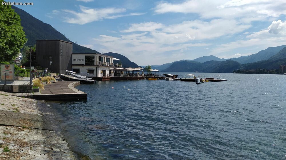
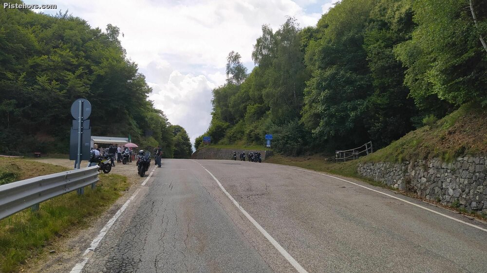
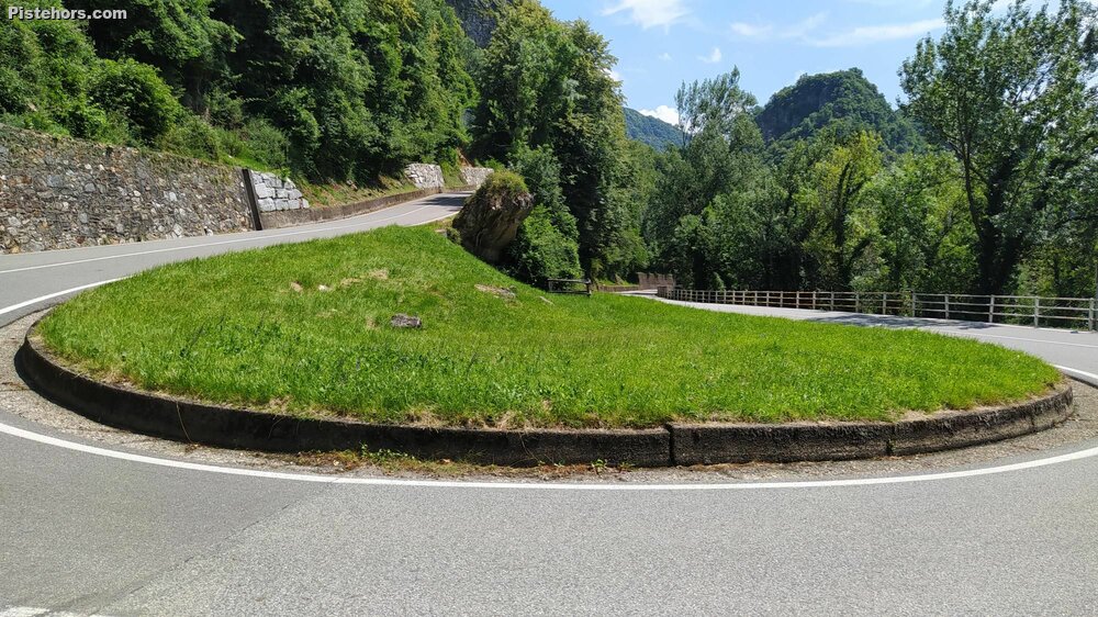
Passo della Colma is 8.9 kilometers long for an elevation gain of 490 meters giving an average gradient of 5.1%. The climb starts near the historic town of Varallo, which is worth a detour. It starts with a set of hairpins which are quite exposed to the sun, a traverse then more hairpins below the mountain town of Civiasco which is bypassed. The road descends to the Pascone river and here things get more serious with 2.5km at 8%. There is a mobile cafe at the col and lake Orta can be viewed in the distance. There are better views of the lake on the descent. Worth stopping at Arola by one of the roadside churches for photos.
Trip Report
I had never done the Tour of lake Orta via this climb. At 70km round trip with not too much climbing it looked good for a longer ride. The climb over from Pogno is pretty easy and there is a long descent to Borgosesia. Be careful in Valduggia if you go through the village, some of the drains can catch a wheel. The ride up to Varello is of little interest but the road was not busy. I had a pleasant tailwind. It is about 13km and climbs 100m so you start the climb at 450m altitude. The climb is very sun exposed, I found water in Roccapietra at the base of the climb at a fountain. The climb is nothing difficult but pleasant with the switchbacks. At my leisurely pace it took around 45 minutes. The descent with view of the lake is excellent before a haul over to Omegna. Around 3hours for the tour, which seemed pretty reasonable to me. I would possibly do the tour in the opposite direction, coming back over the Valpiana col: Colma di Valpiana, Lake Orta, Italy (pistehors.com)
28-30C on the climb. 22C at the col. Not too hot a day for Italy. Roads all in good condition but watch out for drains across the road.