Well I guess it is about time to start a new thread. I’ve been moving house this last week so little time for skiing but I’ve been around the Haute-Savoie/Savoie/Isere quite a bit.
Despite all the ski business hype snow conditions are pretty average. Ski resorts have done 30% better than last Christmas. Over the French Northern Alps there has not been any significant snow since the second week of December. There was about 20cm in the Belledonne range on New Year’s eve and we got some turns in on the north-west face of the Bartlett, a mountain about 30km from Grenoble. However conditions were pretty sketchy, we had to change our plans during the climb as south and west slopes had been loaded by a north-east wind which left slabby snow at altitude sitting on a hard base. We heard of a lot of activity on south facing slopes with some quite substantial slides.
There was a rare incident in the Vosges
http://pistehors.com/news/ski/comments/0792-vosges-climbers-injured-by-snow-slide/
although the Falimont (Hohneck) couloirs are known for their avalanches. This slide seems to have been the result of warming temperatures.
The start of January started fairly calmly but on Thursday we had strong foehn (southerly) winds. These were gusting to 120km/h in Switzerland. In the Hautes Alpes they were enough to close the Grenoble <-> Briancon trunk road with snow drifts and couple with a 10cm of snow they formed new slabs on north facing slopes and raising the avalanche risk to Considerable (3) in the area. The foehn is a warm wind which brings high temperatures to lee slopes and melts snow. Conditions in many north facing valleys today were more like the start of the season. Skiable but stark with lots of visible rocks.
A couple of ski tourers from Volopress had a lucky escape today in the Vercors range.
http://www.volopress.net/volo/sortie2591.html#pic
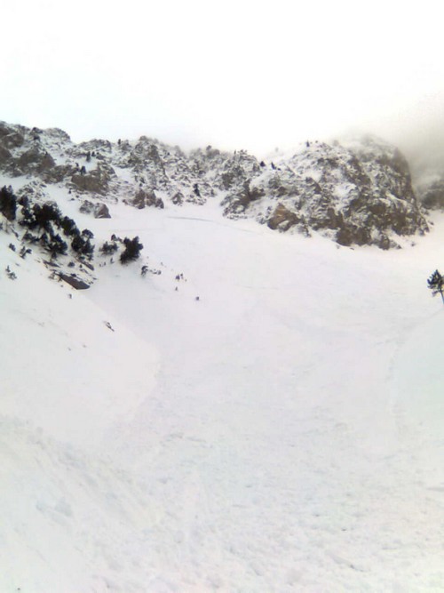
They triggered a slide that took the whole of the north-east bowl they were climbing to a depth of 50-80cm. They noticed a number of woofms on the descent.
Today has been warm, the zero isotherm around 2000 meters with light rain. Tonight heavier rain is expected over the whole massif with the snowline at 2000 meters. The snowpack will be water logged below this altitude with the risk of natural snow slides which will decrease over the course of Sunday. Higher up there will be a lot of slabs and large cornices in place. The wind is strong from the south-west to west which will load many east facing slopes. The risk is greatest outside of ski domains (off piste areas have been heavily tracked over Christmas and New Year) and on little skied slopes. Risk estimate from Meteo France for the French Alps and Pyrenees is from Considerable to High above 1800 meters. Probably a day to stay in bed.

