Tue, 19 March 2013
Vertical Climbed: 1,350 meters (4,429 feet)
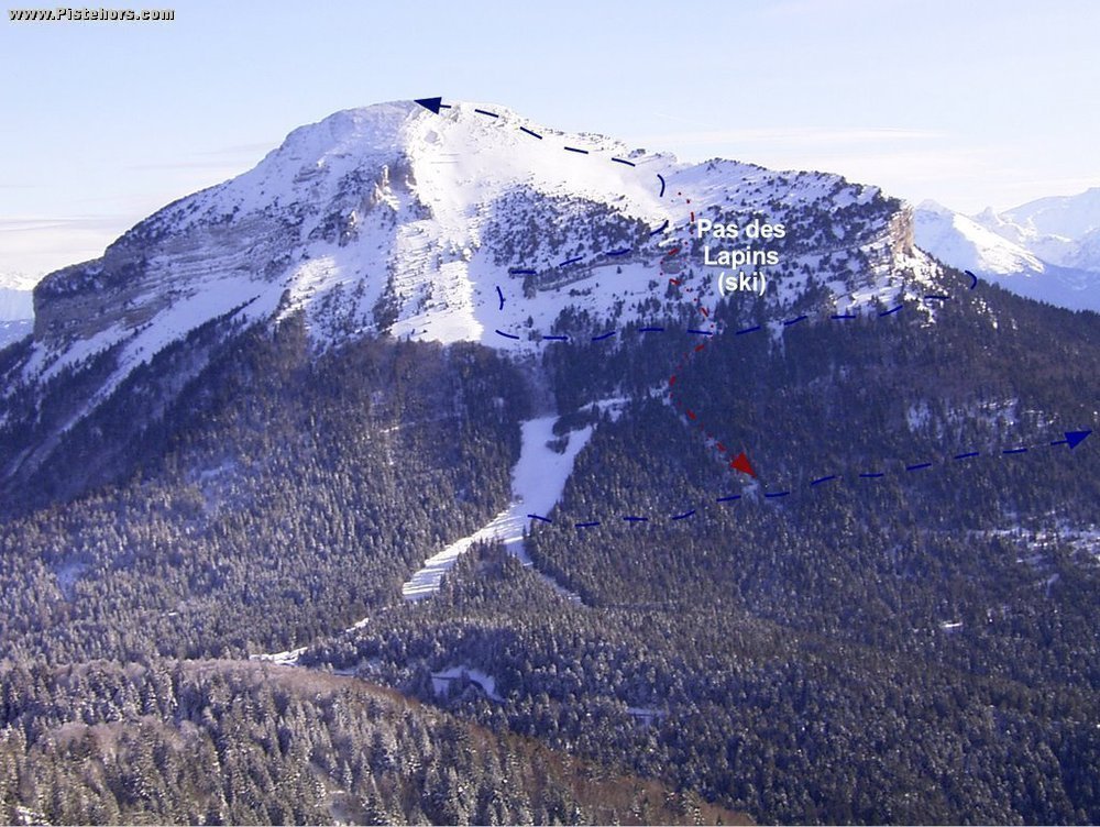
From the village of le Sappey en Chartreuse climb the Snow shoe trail that follows the edge of the woods of les Cotes to the left of pt 1045m. Cross at track at 1150m by a barn above le Bruchet and continue to Montjarlat. Continue to the Habert de Chamchaude.(1570m). From here traverse to the west under the east barrier of the Chamchaude then north to the Cabane de Bachassons (yellow marks). From here climb to the summit on the normal route.
Return via the same route or by the Roche Noire trail (see below) or via the lower trail that comes from the Col de Porte through the bois de Sarcenas, l'Appanon, above the village of Churut then le Bruchet.
The wooded sectors on the Chamechaude summit plateau are protected nature reserves. Please stick to the main trails / paths.
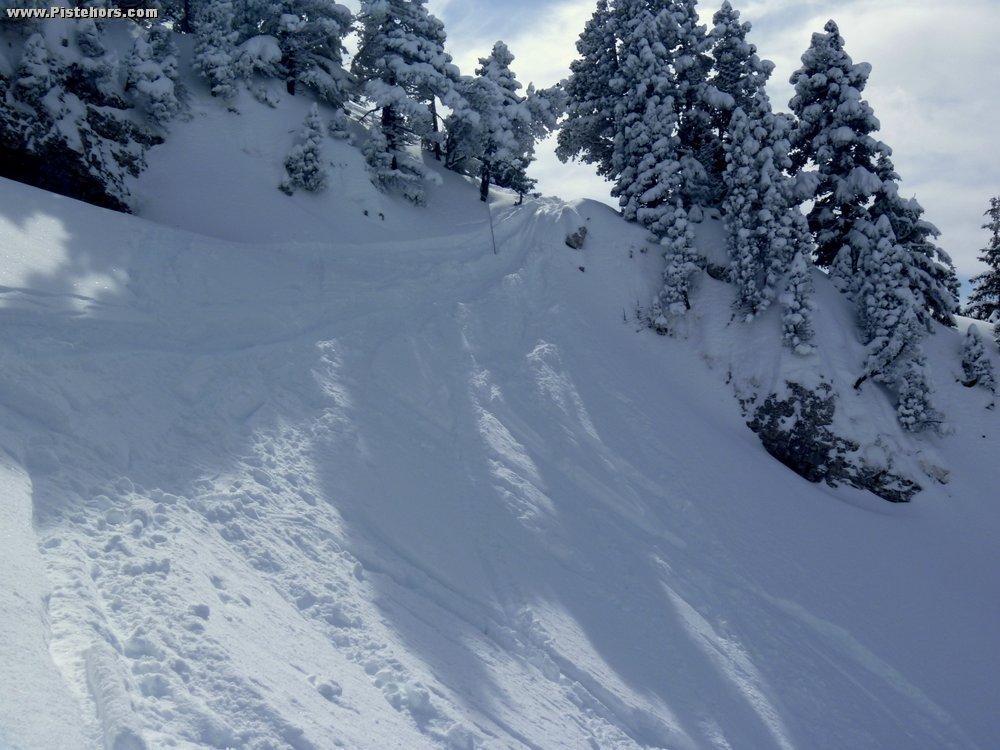
Comments on route: Watch out for purges under the West and South slopes of the Chamchaude later in the day (30-35 degree slopes). There are reasons for the avalanche protection under the Pas des Lapins. This is a long route, 1300-1400 meters, is infrequently tracked and route finding from the Roche Rousse to Bachassons is not obvious in winter.
Access: Grenobe > la Tronche > D57 > le Sappey en Chartreuse.
Equipment: Crampons if snow is hard for the traverse under Chamchaude
Country: France Area: Chartreuse Trailhead: Le Sappey
Description: From the summit of the ski SW to a weakness in the cliffs (shown on the IGN map, this is the Pas de Lapins or Pas de la Corde). You will find a fixed rope in place if there is not enough snow to ski the line.Ski down to the top of the Chamchaude drag lift then join the track that climbs from the Col de Porte near the Source de Fontfroide. Refix skins and climb to the Roche Rousse to the crossroads with the path you took to climb. From here you can follow the Loux river throught the woods if the snow cover is sufficient.
Rating: 3.2/E2
Orientation: West
Vertical: 1350