Tue, 2 April 2013
Vertical Climbed: 300 meters (984 feet)
Rating: 2
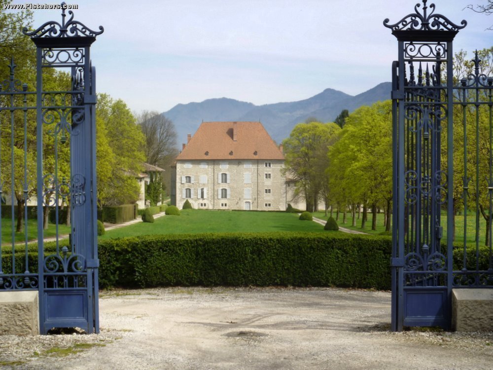
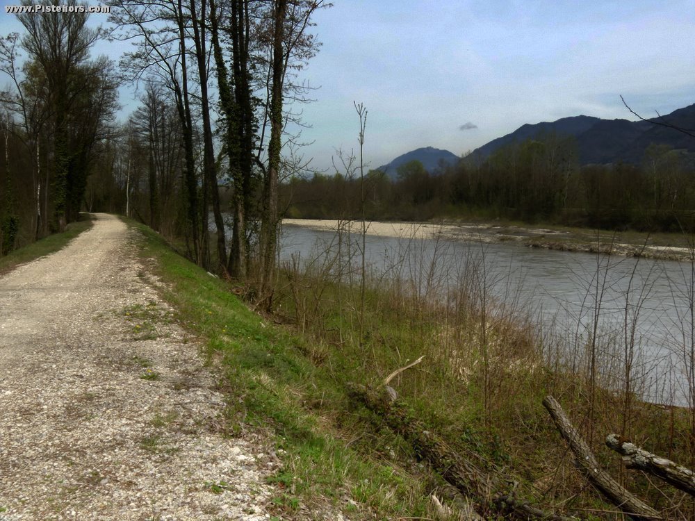
From Crolles Town Hall take cycle path to the Chateau de Bernis then track to les Echelles. Then left passed farm and over crossroad to pt 227 where you pick up a gravel track on the right of an irrigation canal. Follow this to les Seterees and cross under the autoroute at the l'Ile de la Vache (Cow Island) to reach the river Isere. Continue NW passed a water treatment works then to the D30. Cross over autoroute and then after 250 meters right to Chonas. Followed road to Chappel then down to the Canal de Chantourne and the Chemin de l'Empereur. At the les Iles junction turn left to la Frette. Cross over the road and climb a very steep hill to la Haute Frette (old monastry building on right).
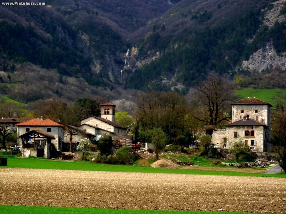
From la Frette take a tack to the south along the contour line towards la Terrace. At the outskirts of le Terrace climb towards Montabon and the final right hand hairpin follow a path that leads to the Rau de la Terrasse then join the D30. Follow this to the first right hand hairpin (l'Eveche), pass the Chateau du Carre. At le Carre pass a chapel on the left and then take a right to a small path over the Carre river to Petit Lumbin. Follow this trail behind Lumbin to Montfort. Turn left 100m to the roundabout, descend towards the industrial estate and when you cross the canal turn right onto a gravel track to the Marais de Montfort then les Ardillais and Crolles.
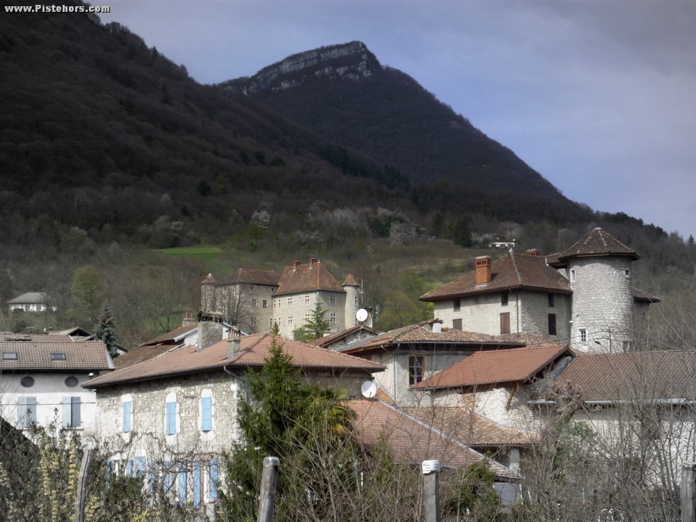
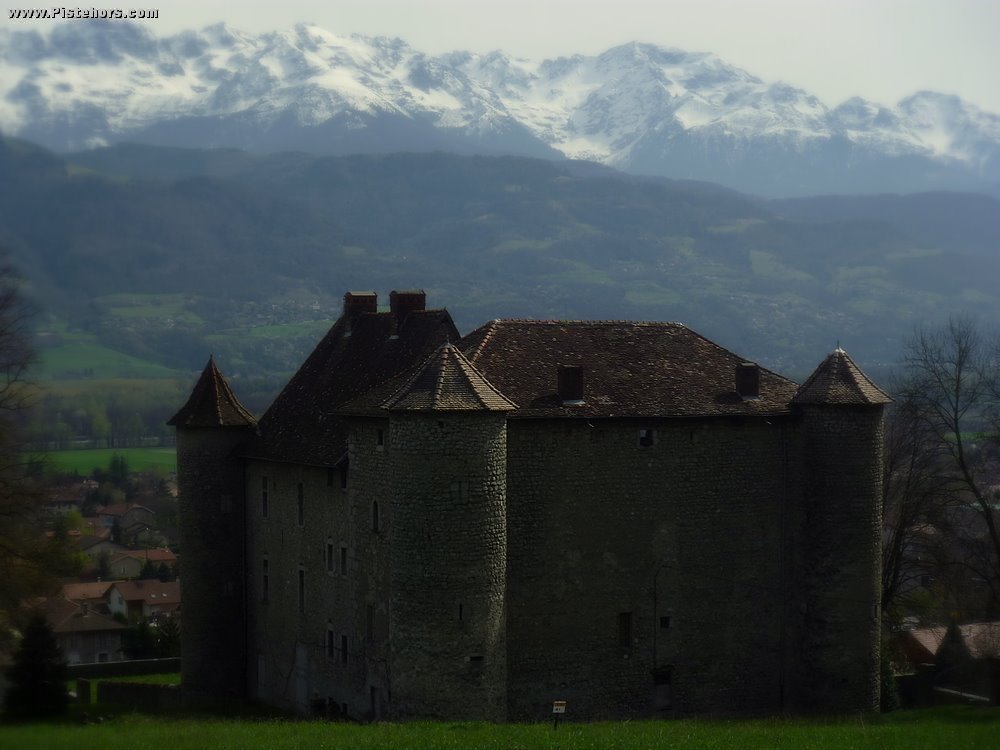
Comprising two offset square buildings and reinforced with three corner turrets. Built between the 14th-17th centuries set at the foot of the Chartreuse mountains. There are a number of other fortified houses in the village.
Noted for its exterior and roof, large gallery and small salon decorated with carvings from the 18th century. This ancient fortified house was first recorded in the middle of the 14th century and was modernized in the 18th century.
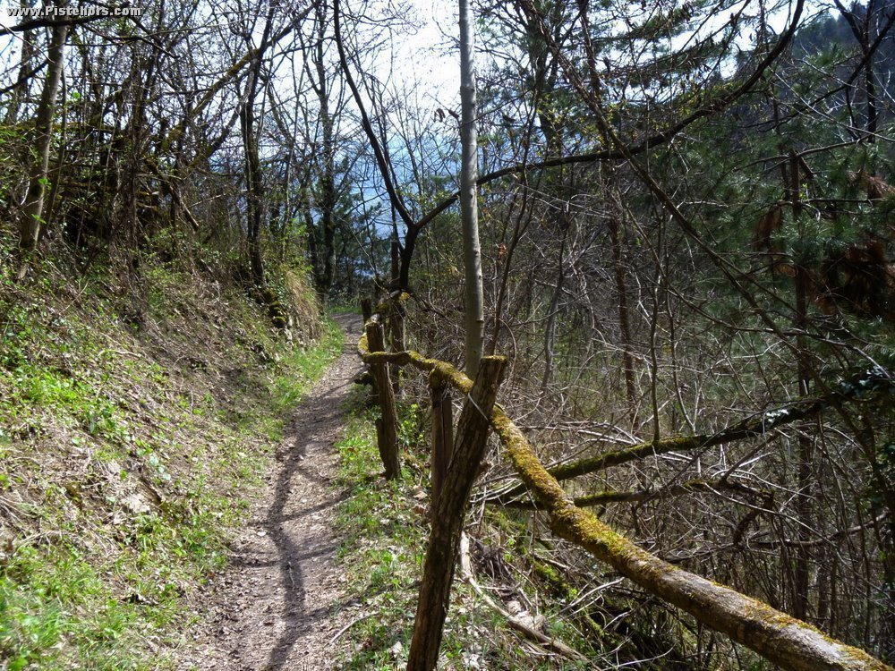
A secondary Roman road the linked the Chambery with Grenoble and then Vienne. It possibly owes its name to the emperor Aurélien who repared sections of the road to allow his army to pass. At the time it was 2.5 to 3 meters wide but was later used in 1365 by Charles IV to reach Avignon.
Comments on route: No particular difficulties apart from the climb to la Haute Frette which is around 20%.
Access: Grenoble Autoroute > Crolles Exit > Crolles Center
Equipment: Any mountain or trekking bike.
Country: France Area: Chartreuse Trailhead: Crolles