Tue, 2 April 2013
Vertical Climbed: 1,220 meters (4,003 feet)
Vertical Descended: 1,220 meters
Rating: 2.1
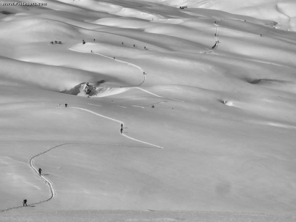
Park at L'Erigné as close to the end of the road as you can, then follow the summer road upwards towards the Lac des Mines d'Or (signposted), this road is pisted into a walking track regularly in the winter, after about 600m you will arrive at a signpost at 1273m, turn right towards the Pont de Chardonniere, the track is still pisted and fairly flat now for the next km. At the bridge (1309m) turn right and leave the pisted track, climbing steeply up the forested track passing the alpage at Vigny until just before the Col de la Golese (1660m).
You could pass by the col but you'll probably see tracks cutting the corner up to the left, there may be some old full depth avalanches visible on the short-cut, the slopes here slip in warm or wet conditions, in which case you probably should not be doing the route! Carry on a rising traverse onto the open hillside, there are some marker posts in this area, around the pt 1775m, this is where the route from Samoens (Les Allamands) joins.
Head to the right of the subsidiary summit. Don't bother doing this in poor visibility, there are few reference points to navigate by until you hit the ridge just before the Pas de la Latte (2206m) the summit is still 1km further on at 2406m. Return by the same route. A minority turn back when they hit the ridge. This way you get the best skiing but you miss the summit.
Access: From Morzine, it's 4km to the parking at L'Erigné.
Equipment: Nothing special, ski crampons in the spring.
Country: France Area: Chablais Trailhead: L'Erigné