Fri, 13 February 2015
Vertical Climbed: 1,265 meters (4,150 feet)
Vertical Descended: 1,265 meters
Rating: 4.2
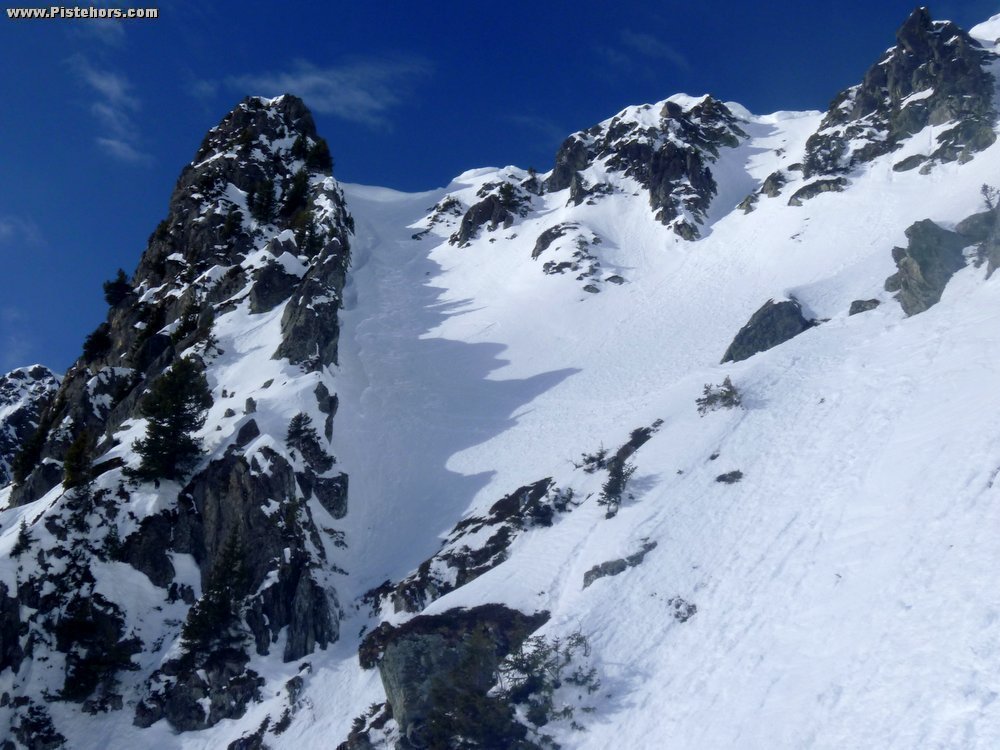
From the Car park at Prabert follow the road then forest trail to the East to the habert d'Aiguebelle (refuge) at 1740 meters. Continue to the ENE to the base of an obvious couloir between the Pas de la Coche (right) and the Col de l'Aigleton (left). Climb to the summit (cornice) and descend the east side. Near the end of the couloir avoid a small rock band by a left/right. You can descend in the Combes valley to the forest at 1600 meters and then rejoin the Venetiers valley by the Aigleton or the Pas de la Coche depending on motivation and snow conditions (the S.W. facing Aigleton is more likely to have spring or crusty snow.
Comments on route: Avalanche risk at the base of the Pas de Pin couloir (slabs on West side, purges on east side). Cornice on east side of the Pas du Pin.
Access: Grenoble/chambery -> Brignoud Exit -> Laval -> Prabert -> Terminus (1088m in winter) Pont de la Betta (1300m in Spring)
Equipment: Ski crampons, crampons.
Country: France Area: Belledonne Trailhead: Prabert