Wed, 5 October 2011
Vertical Climbed: 1,893 meters (6,211 feet)
Vertical Descended: 1,884 meters
Rating: 5
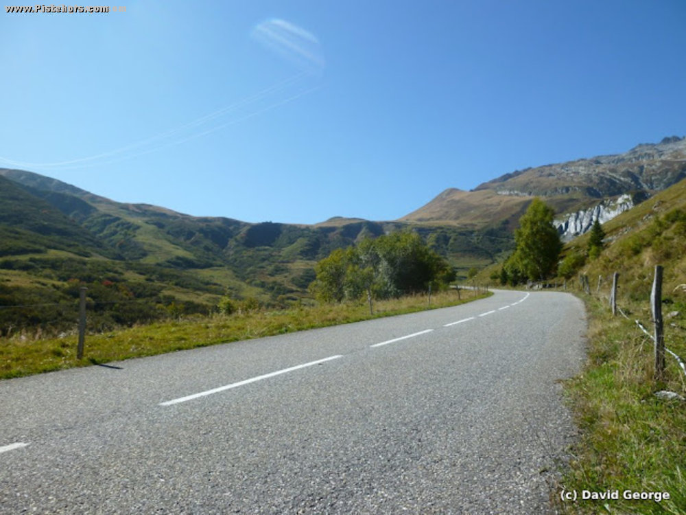
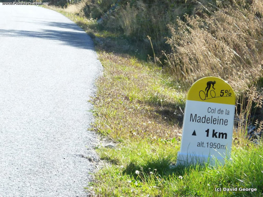
A very pleasant loop just over the mythic 100km barrier for Stravassholes! :-) First big alpine col loop for me a long time for me. The Madeleine is a hors category category climb. Last 5km were very tough. Stopped at the restaurant at the top, which was maybe a false, good idea, would have been better to carry on.
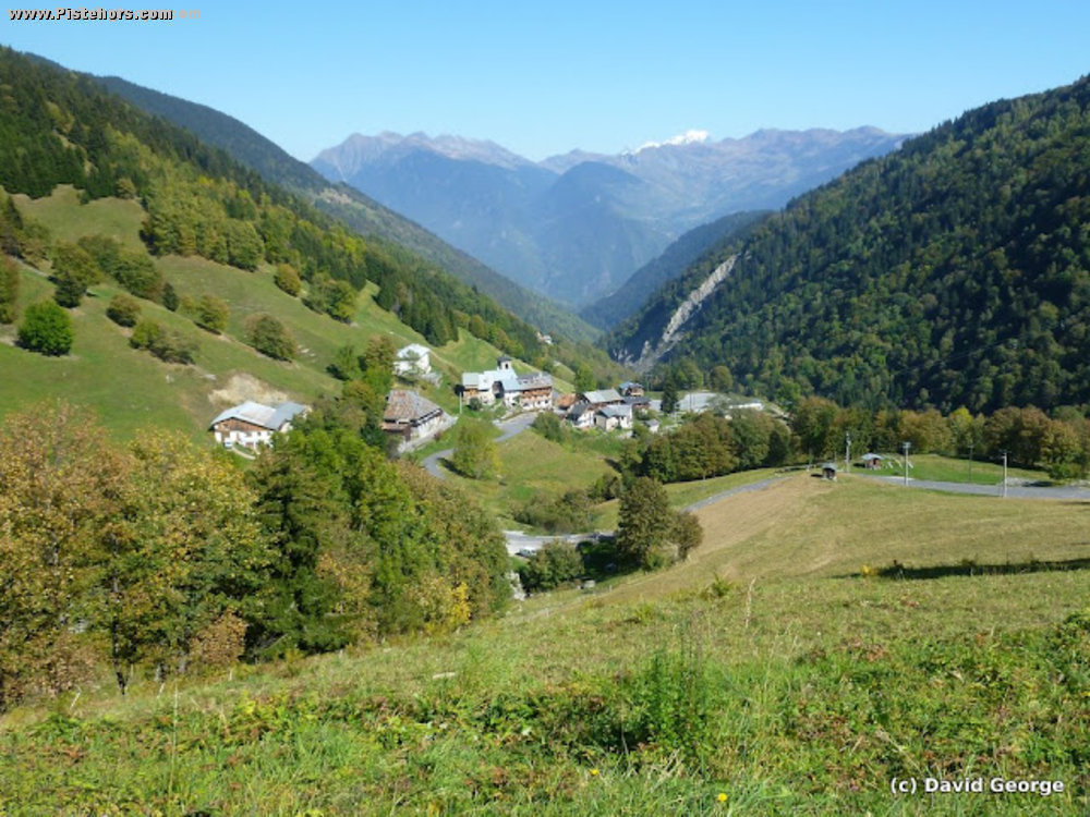
Maybe not the best route in the Maurienne valley, I seemed to be on the main road for some of the journey but I didn't have a routing GPS. Aiton is interesting. The autoroute restaurant used to be the Salle Hors Sac at the defunct ski resort of Val Pelouse. Took the back road from Aiton to Albertville which still has some trucks on it, there is a cycle path you can pick up at Frontenex that follows the river, but most of the traffic gets on the autoroute here so it doesn't buy much plus you are next to the autoroute. However the cyclepath at the Pont Albertin at the entrance to Albertille is useful. The backroads up the valley after Albertville are quiet.
Sunny, pleasant on the climb but cold on the descent. Headwind blowing up the Maurienne valley on the return which made life hard. Wonderful early autumn day for this major col. It snowed a few days later.