
My neigbour Chris is on short time working this week. So after going away ski touring with his missus in the Queyras he was keen to take advantage of the fine weather on Tuesday. He came around about 10pm looking pretty tired and asked if I’d had any good ideas for a ski tour. No, but given the conditions, I wanted to plan the spring snow joker.
Romache valley and the Oisans behind
I suggested the Grand Charnier de Allemont, an east or south east facing route depending how you take it. If you’ve skied l’Alpe d’Huez you can see this mountain to west at the end of the Belledonne chain. I’d not been here since an ill fated trip with 3 women who assured me they knew the route perfectly then preceded to get us lost. We had to descend a 55 degree icy couloir - on crampons as it was not skiable and then arrived 4 hours late in Grenoble.

Chris looking at the Romanche paddy fields
Chris was keen to get going early and as it turned out he was right. We left town at 7h10 but should really have left at 6h30 even though it was below freezing. The night had been clear and promised a good refreeze. We got to the car park at la Traverse at 8h15 having spotted a new speed camera with no warning sign on the road up in a 70 kp/h zone.
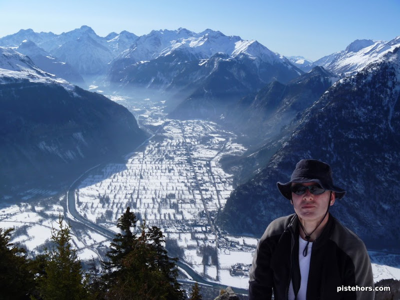
Bourg d’Oisans in the distance
From the car park (1130m) you take the snow covered road in the direction of le Cotessyart but after about 1km, just before a right hand bend, take a path to the left into the bois de Combettes, after a further 500m take a steep path to the right direction Grance Lance d’Allemont. At 1534m on the Ch. de Ferret path you’ll come across a cross roads with the Pierre Assise marked to the right and the cabane des Challanches marked to the right. You can take the Challanche path then climb by an avalanche couloir 100m to the right but this is very exposed, one wrong move and you could fall over cliffs. Better to follow the Pierre Assise both climbing and descending as best you can to exit the forest around 1700m.
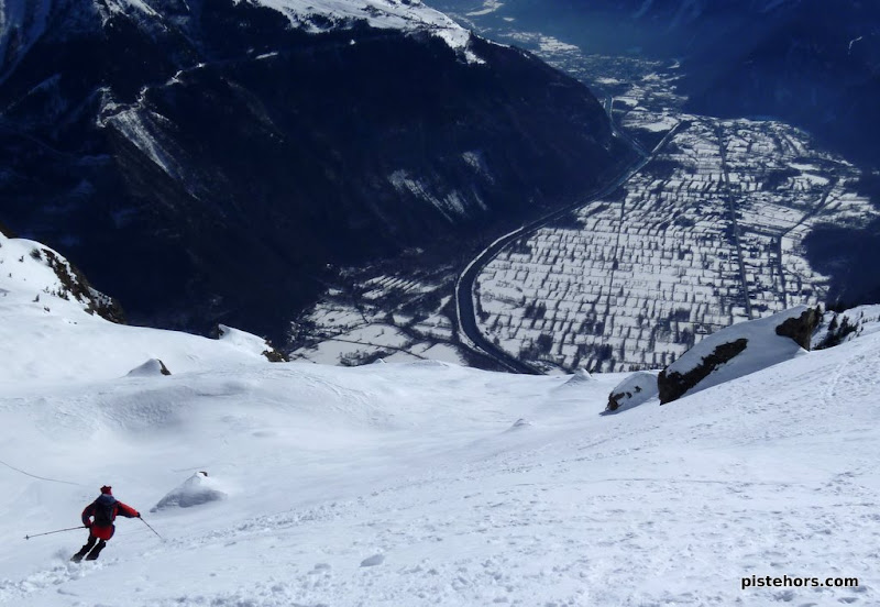
Grandes Rousses in the background
Continue to the NNW direct the Sagnes bowl then turn north to reach the East col of the Grande Lance d’Allemont. The route is 2.3/E1 assuming you don’t take the avalanche couloir lower down. The Grand Charnier bowl was wind blown, we checked out the snow on the north side and it was hard packed with waves blown into it by the strong NE winds. The SE couloir of the Grand Charnier (4.2/E2) was not in condition, manky snow with a drainage channel. We didn’t try it.

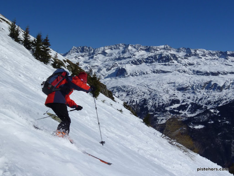
Grand Charnier, looks better than it is
Skiing down we found best snow on S to SW facing slopes. SE slopes were mushy, this was 1pm so we were a bit late but the snow has not yet fully transformed so once the surface crust melts you have about 10-15cm of heavy snow which is more or less difficult to ski.
Once you get into the forest proper it clears out a bit and is good to ski with old powder in the process of transforming into spring snow. We skied directly down to the carpark via a series of clearings at the bottom to arrive at the car with skis on our feets. Perfect. The bowl was very warm, no need for heavy clothing despite this being mid february. Very tiring in the sunshine despite this only being 1300m of D+.