Mon, 29 December 2014
Vertical Climbed: 350 meters (1,148 feet)
Rating: 1
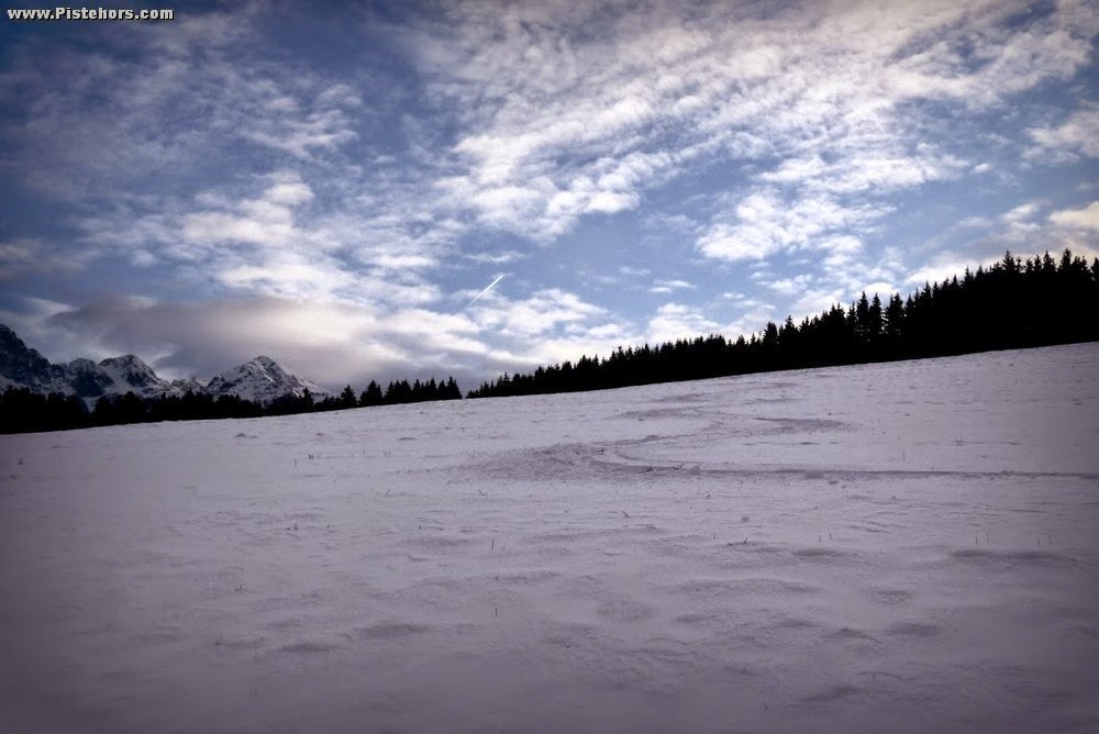
Starting from les Bletieres (or the Col du Lauteret) climb the trail to les Fournelles then the Rau (river) de Pre Boutey to the Col du Lauteret. Take the track west to les Cret then fork right for 100 meters on a forestry track. Take a right turn into the forest (some red marks on trees) to reach la Mure de Molles. There is a cleared path which is skiable with 20cm of snow if you stick to the GPS route, elsewhere the forest is difficult to cross due to brushwood. Descend the large field to les Alpes as far as possible. There is a barb wire fence at 870m but if there is a lot of snow you can descend as far as the houses in les Alpet (710m)
Comments on route: Route best suited for snowshoes or even nordic skis.
Access: Grenoble or Chambery -> Brignoud exit -> les Adrets (les 7 Laux) -> les Bletieres (cleared car park).
Equipment: Skis or snowshoes.
Country: France Area: Belledonne Trailhead: Prabert
