Sun, 7 March 2004
Vertical Climbed: 1,440 meters (4,725 feet)
Vertical Descended: 1,440 meters
Rating: 2.2
Avalanche Risk: 3
Snowline: 1,200
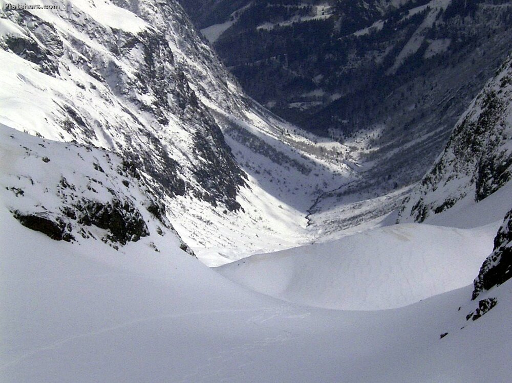
Route
From the Roches hamelt take the trail towards the combe des Roches. Climb the valley to the Orselle (1672 meters, sign). Continue WNW then West to climb to the obvious col(s).
No particular material needed but these big Belledonne valleys are prone to both large slab avalanches and wet snow slides on the left banks in the afternoon. Take extra care when the risk is 3 or above.
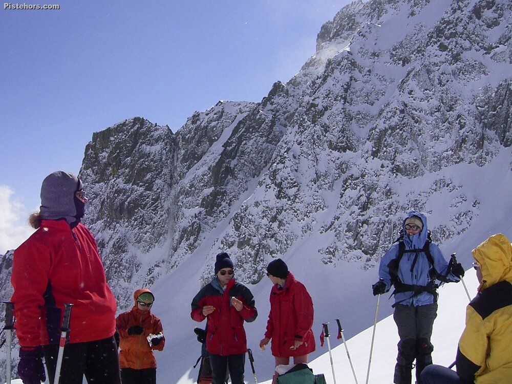
Trip Report
CAF ile de France group down for the weekend by bus. The snowline was 1200 meters, just after the first hairpin on the forest trail. It had snowed 30cm the day before. Trail breaking was hard at the end and we took care both on the climb, particularly below the col, and the descent with group spacing.
30cm of fresh snow. Excellent.