Thu, 7 March 2024
Vertical Climbed: 429 meters (1,408 feet)
Vertical Descended: 425 meters
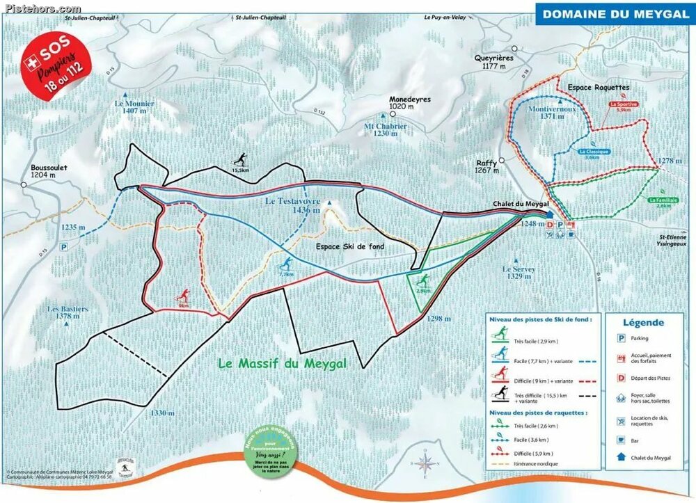
The cross country ski area of Meygal offers 44km of varied trails between 1200 and 1450 meters altitude. The nordic area is situated at 25km to the east of the Puy en Velay and 70km to the south-west Saint-Étienne in the Ardeche region of France. It is very easy to reach from the autoroute. You exit at Yssingeaux, skirt around to the west of the town and the small Rue du Meygal takes you directly to the ski area where there is a ski and snowshoe hire shop.
The summit of the Meygal range is the Testavoyre at 1436m altitude. This can be reached on foot from the summit of the ski trails 2.5km south on the Chalet on a blue piste by a picnic area seen. On a clear day you can see the Alps. There is also view over the mountains at the south end of the ski area. This has road access but no ski hire.
Trip Report
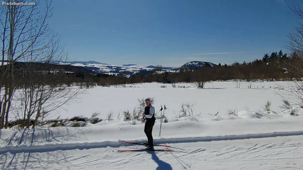
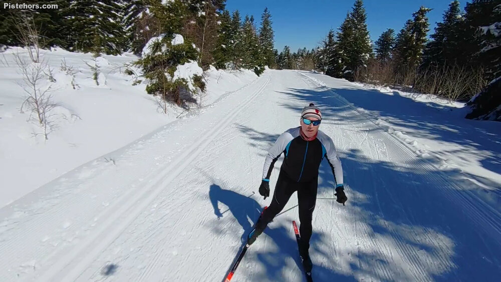
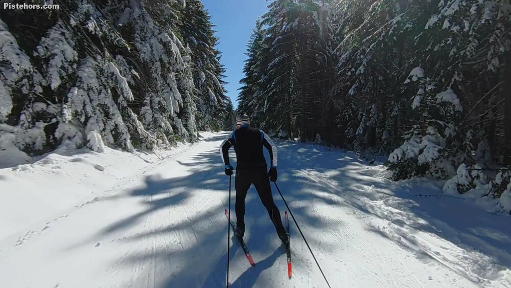
There had been some snowfall the days before, enough for the ski area to prepare nearly all the pistes. I started skiing over the blue as far as the car park at Boussoulet. This takes you close to the summit of Testavoyre on a nice, wide well prepared trail. From there I took a black side piste back but it wasn't that well prepared but it joined the blue back to the chalet. Heading east again I took a black out on a loop to les Bastiers. This was reasonably well prepared but steep in places. It would probably have been more interesting sticking to the red loop.
I would say there are probably about 25-30km of trails. Like most areas Meygal double counts. The tracks offer a range of difficulties from wide boulevards to tight forest tracks. The area is well worth a visit. There isn't much of a view unless you climb to the Testavoyre; you can even try this on skis.
Warm in the afternoon with sticky snow but ok to 1pm. Sunny, fresh snow on the trees.