Thu, 2 September 2021
Vertical Climbed: 1,765 meters (5,791 feet)
Vertical Descended: 1,669 meters
Rating: 5
Description
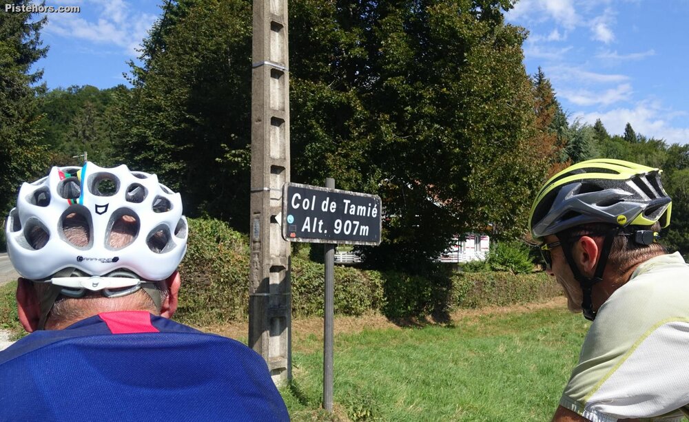
It is a fairly logical loop. Starting at Frontenex, over the Col de Tamié (550m of climbing) then a loop around the Arpettaz before riding back through Albertville along the cycle path from Ugine. The Col de Tamié is some 9km long from the exit of Frontenex with grades of 6 to 7%. Note too hard but only the upper slopes offer the shade of trees. There was a micro ski resort at the Col, there may still be a tow operating but we could not see it from the col.
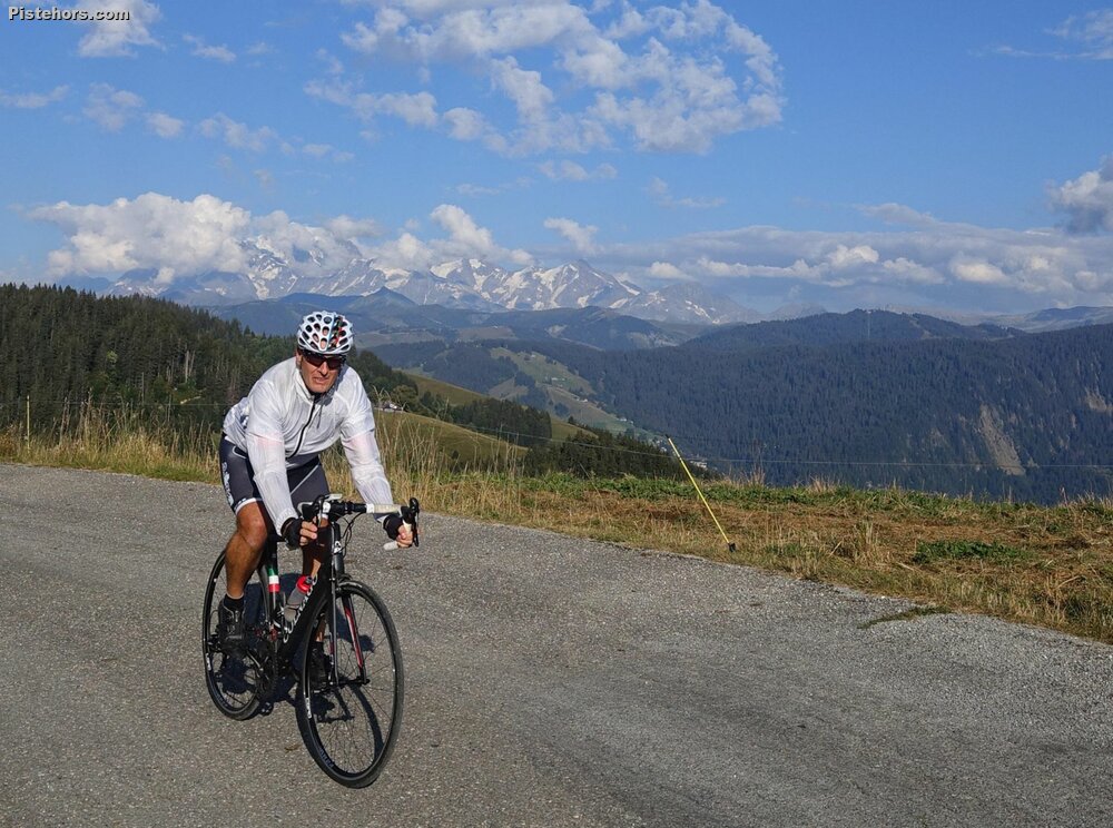
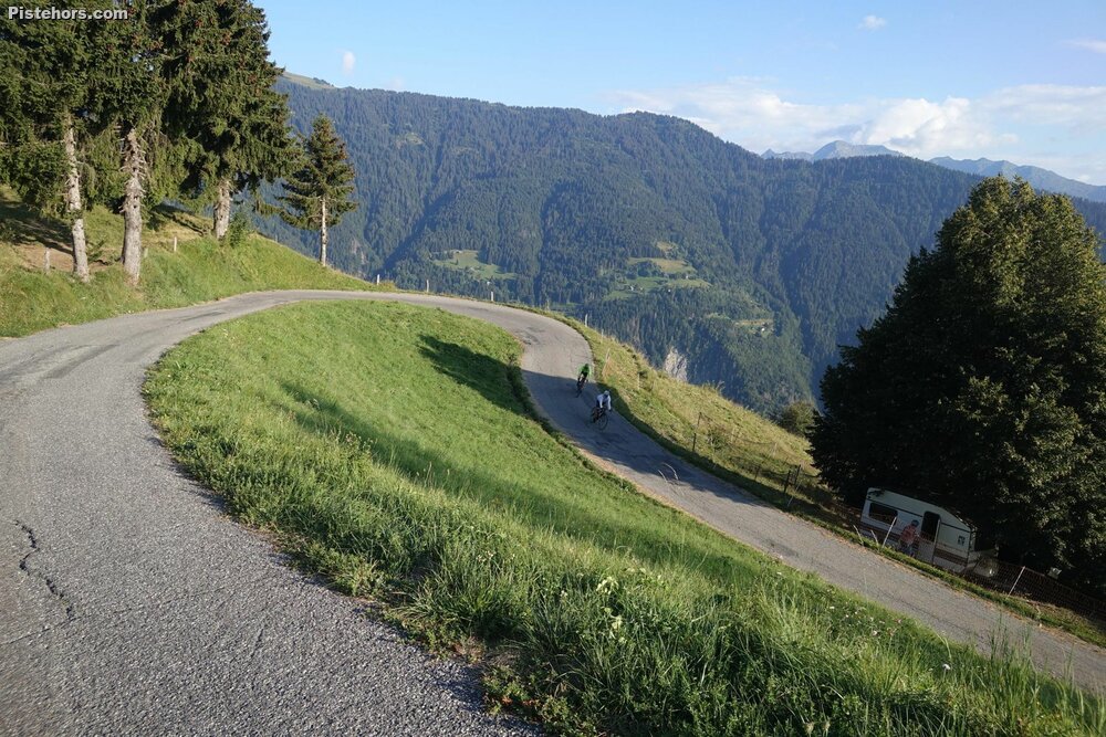
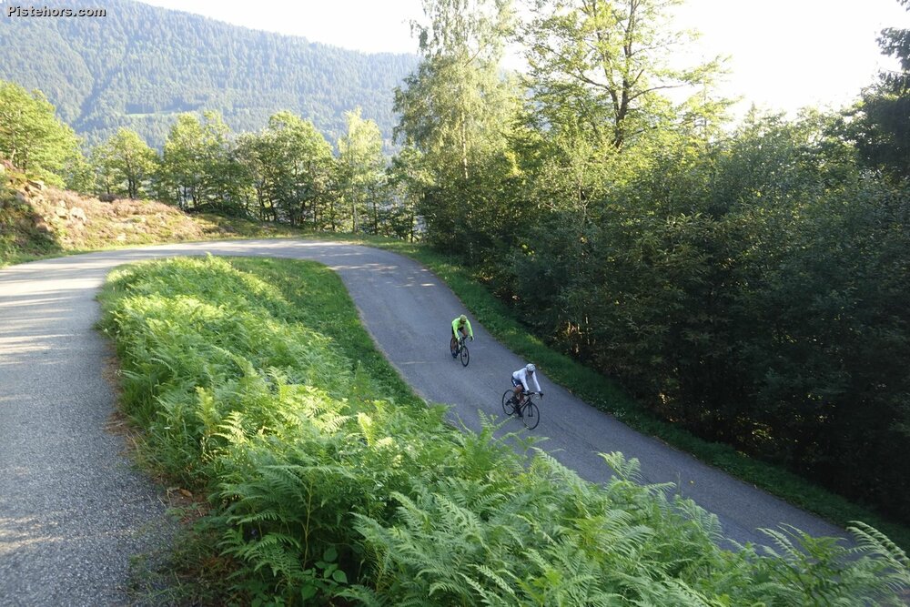
From the Tamié you traverse a plateau then descend to Faverges where there are numerous cafes and a castle. You then follow a cycle path to the base of the climb (443m) and 42 hair pins over 1100 meters climbing at an average of around 8.5% with sections at 14% to the col at 1565m. You ride along a mountain ridge passing the closed ski station of Le Lierre. The rusting drag lifts are visible on both sides of the road. A twisty descent takes you back to Ugine from where you can pick up a cycle path that takes you back to Frontenex with a couple of detours onto roads.
Trip Report
Riding with Stein and Mike.
I was busy in the morning so we set off about 3pm. A bit late. It was very warm and sunny on the south facing slopes. We passed the Tamie in good order, 41 minutes for the climb. Then sped down to the next valley. The climb of the Arpettaz was hard. Mike and Stein were 15 minutes ahead at the col as I faded... undertrained and underfed. We took a few photos on the descent but by Ugine I called it a day. No energy left.
30 degrees in the valley. Very sunny.