Fri, 20 January 2006
Vertical Climbed: 1,205 meters (3,954 feet)
Vertical Descended: 59 meters
Rating: 2.1
Avalanche Risk: 3
Snowline: 1,300
Route Description
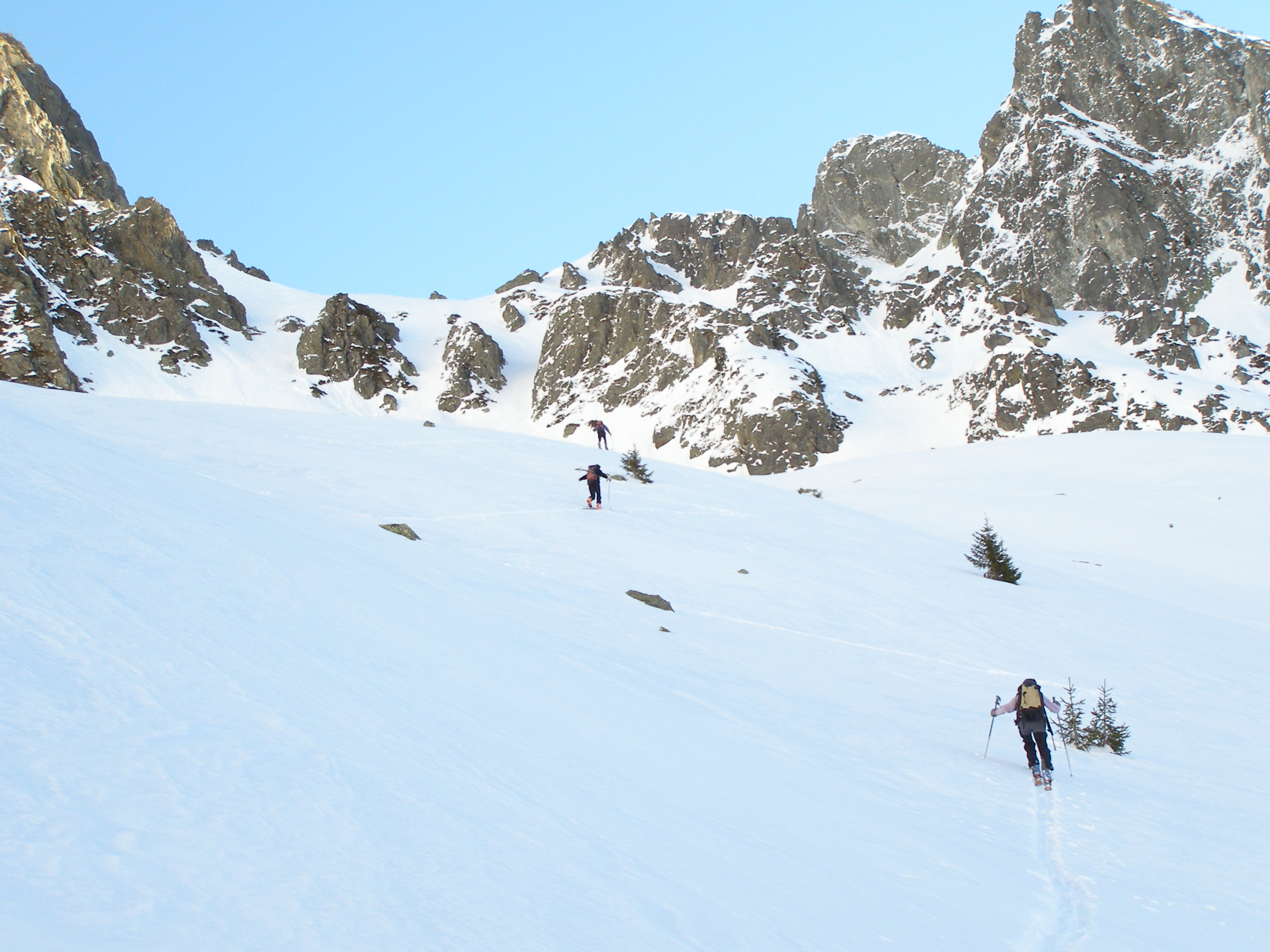
Gresivaudan Valley, take the Brignoud exit from the A41 Chambery/Grenoble autoroute. Follow the road to Laval then Prabert. In the winter parking is at 1080 meters (gate). In the spring there is parking at 1336 or even 1400 meters by a water pumping station. From here follow a trail to the east. After the Aiguebelle refuge turn north-east into the Venetiers valley. The valley leading to the col is visible to the right, it is accessed by a short but steep climb.
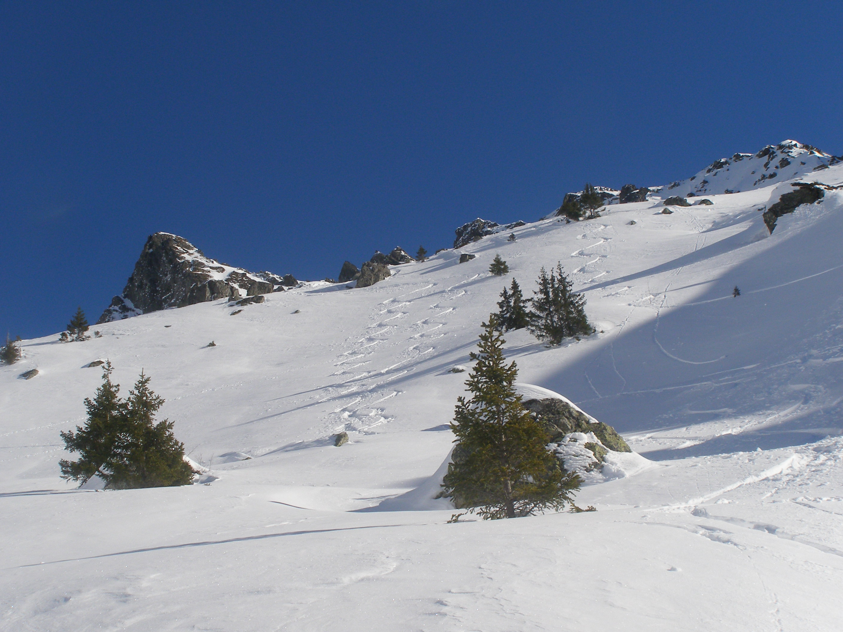
We intended to ski the Jasse but changed direction under the Vénetiers given the rotten snow, really crusty everywhere. Very warm at the Col de l'Aigleton but a very nice descent in powder (the valley is shaded at this time of the year). At 1700 meters we put our skins back on to ski the pas de la Coche... and beyond.
Participants: Luc, Marco, Isabelle
Mountain Range: Belledone, French Alps
Crust in the venetier valley on the south facing slopes, unskiable. Powder on the Aigleton and Coche