Wed, 23 April 2014
Vertical Climbed: 450 meters (1,476 feet)
Rating: 3
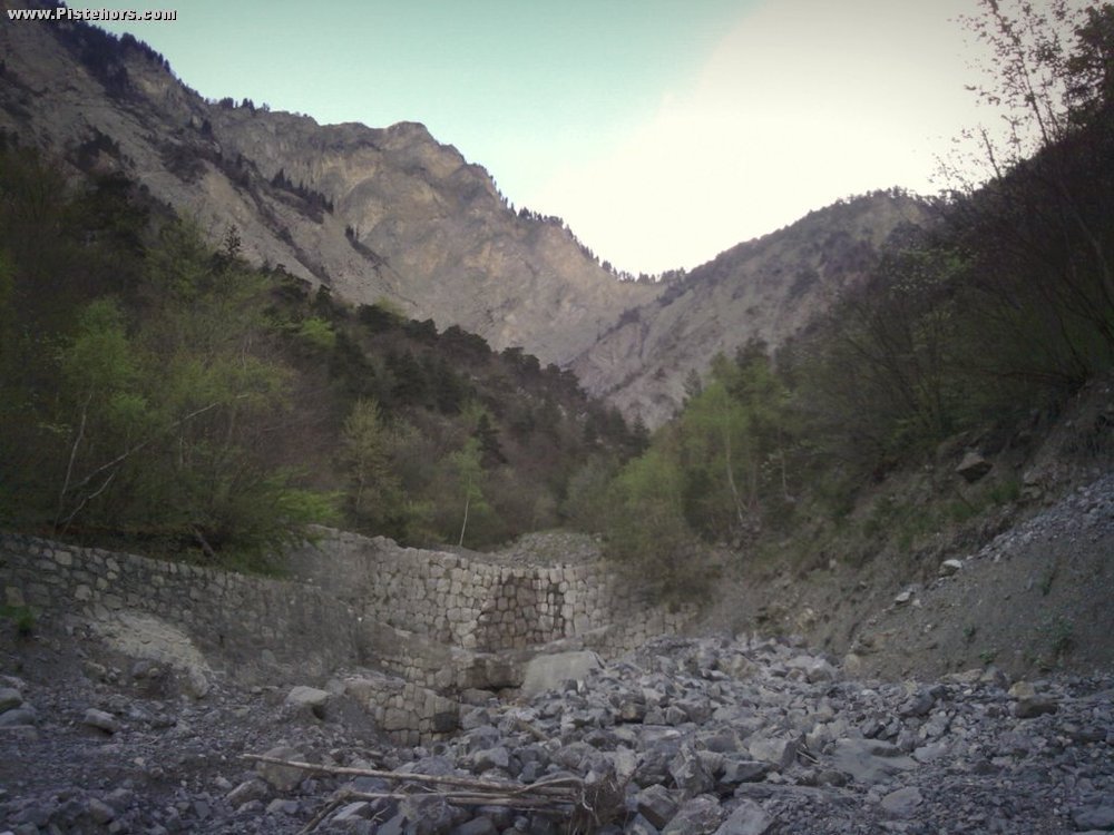
Climb the left bank of the Manival stream following a good jeep track to the to the Manival Forest Cabin (open, unguarded) at 870m. The track is very steep for 50 meters. Climb pass the Cabin and cross the river to a singletrack on the right bank.
The trail follows the river for the first km, it is technical and exposed with a couple of switchbacks. The path is much easier after. At 569 meters there is a fork. To the right the Haute-Manival trail. To the left you traverse the river (very steep banks) to find a trail you climbed on the left bank. In both cases descend to the car park.
The route is sometimes practicable on snow shoes - Jan/Feb on average one winter in two.
Comments on route: The first part of the descent is exposed (cliffs above the river) with rocks and a couple of switchbacks. The path is much easier afterwards apart from a couple of sections where it has been eroded by the river.
Access: VFD bus from Grenoble (6020) Car: exit at St Nazaire les Eymes, then Col du Coq road, turn left at bend to right (460m) and park.
Country: France Area: Chartreuse Trailhead: Manival