After a week laid up with a bad cold I finally went out on Sunday. I was kind of obliged as I’d agreed to lead a FFME club group and I felt a bit sorry for people as the other trip for the day had been canceled due to lack of snow. I have a reputation for finding good snow to uphold. I don’t know whether this was entirely achieved. We found “spring” conditions but the refreeze was about 10cm of the top snow with humid snow underneath. Take care if you are out on sunny slopes after midday.
Direction Roches Rissiou
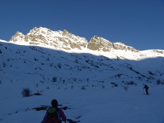
Direction the Roches Rissiou, in particular the Roches Motas. I didn’t have a firm plan other than to head towards the Sabot, it was Michel who finally suggested the col pt 2393 - note to have a clearer plan when you leave the parking.
At 1800m we turned westwards and left the gentle valley to climb up the hot east slopes towards the summit.
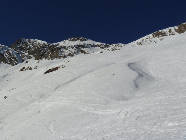
Some people had find the final climb a little warm. We didn’t summit as the final 100m were covered with a thin layer of ice and not inviting to ski.
Pascale
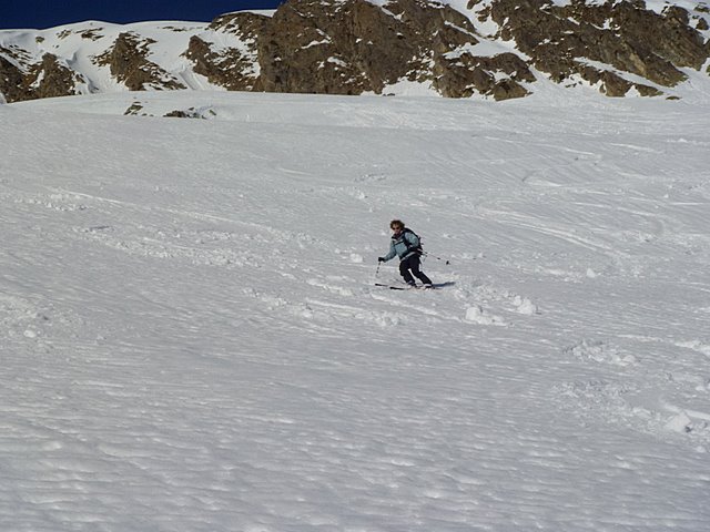
The ski down was initially humid, the slopes had been a bit too sun kissed but the bottom of the valley was on excellent transformed snow, like a ski piste.
Roches Mottas
Range: Grandes Rousses - Arves
Secteur : Oisans
Orientation : SE
Vertical : 1075 m.
Ski: 2.3/E2 (col) E4 (summit)
Parking: la Villette above Vaujany
Caution: the summit slope, although large, drops off rapidly on both sides. Take care in poor snow conditions.
The slopes are subject to full depth avalanche in warm weather.From the car park climb the right side of the valley that leads to the cold de Sabot (left looking up the mountain). Around 1800 climb straight up to the right, you reach a short plateau around 2000 meters before reaching a col at 2393 meters. The final summit slope is N/E facing (2472 meters)
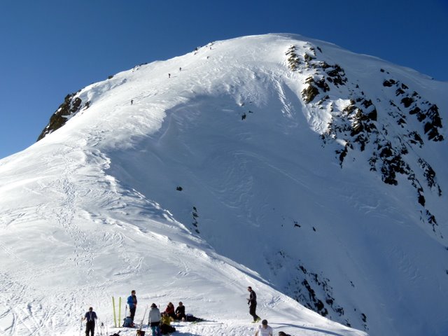
Summit 2472 meters