Living part time in Gaillard I’ve been doing some more exploring round the northern end of the Saleve the last few weeks. First I wanted to check out the Petit Saleve and the Camp des Allobroges. My idea was to climb by the old tramway to Monnetier Mornex.
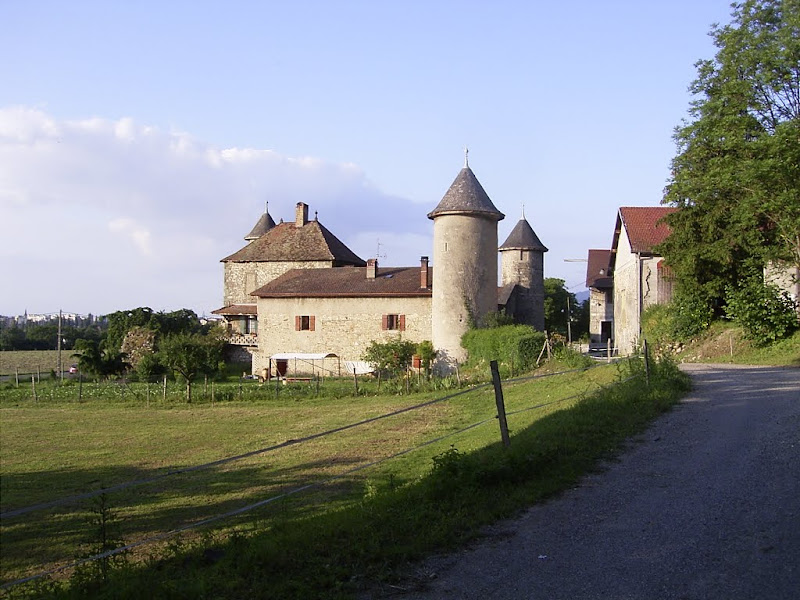
I parked opposite the Chateau des Etrembieres by the church. This is a medieval fortified house. Construction was started at the end of the 13th century. In 1328 it was owned by the Compeys. The Compeys occupied the Chateau de Thorens in the 11th century and expanded their power base in the region up to the 16th century. The Chateau changed hands a number of times over the centuries finally ending up as part of the hôpital d’Annecy in 1606. Today it is owned by a farmer and a big sign warns of “nasty dogs” so I walked along the main road to the start of the old tram line.
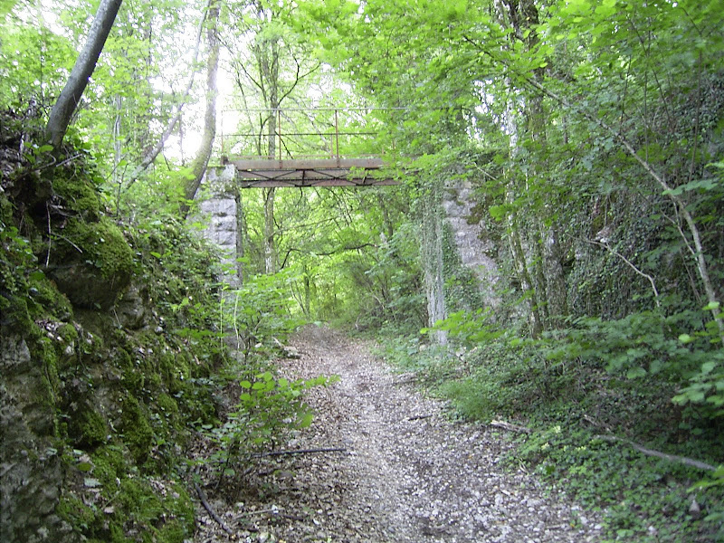
The tram line is steep. It was a rack-and-pinion railway. The line was opened in 1892 and was the first electric rack-and-pinion line in the world. The electricity supplied by hydro-electric power, no less. The line saw its hey-day just before the first world war. Traffic never really recovered after the war and the section to Monetier closed in 1931 with just the section Monetier -> Saleve remaining open. The Saleve cable car opened in 1932 which accelerated the decline. The line closed in the 1930s and was removed for scrap shortly after. Little remains today but a few bridges and the station at Monnetier.
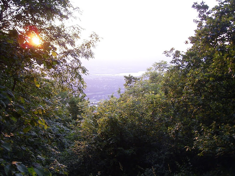
I walked up to les Blanchets then climbed to the viewpoint at the Cret du Chable which gives a stunning view over the Arve valley towards the Chablais and Mont Blanc. From here you climb west to the Camp des Allobroges. The Allobroges were the local tribe, their territory ran to Grenoble in the South covering an area called Sapaudia - the land of the Sapins (Pines), modern day Savoie. It wasn’t a unified terroritory, but like the rest of Gaul, a confederation of tribes. Reputed as great warriors the term “C’est un Allobroge” is used to denote someone a bit uncouth and uncultured. The camp is a hill fort but largely obscured by small trees. It dates from around 150BC. The trees mean there is no good view, you can just make out lake Geneva in places.
I decided to return via the Pierre Vielle. It was already getting dark in the woods. These stones were left by the retreat of the glaciers and probably quite impressed the Allobroges.
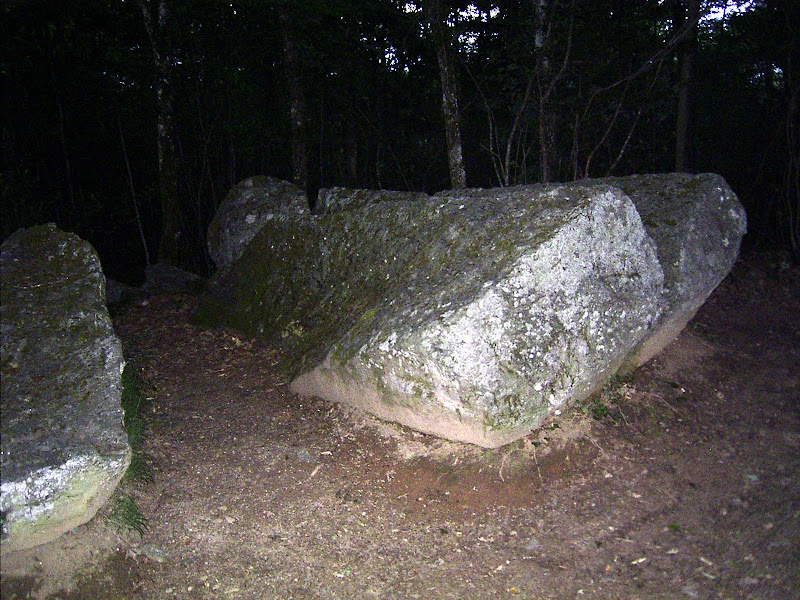
The stones made me think of Ken MacLeod’s
Hey, this is Europe. We took it from nobody; we won it from the bare soil that the ice left. The bones of our ancestors, and the stones of their works, are everywhere....
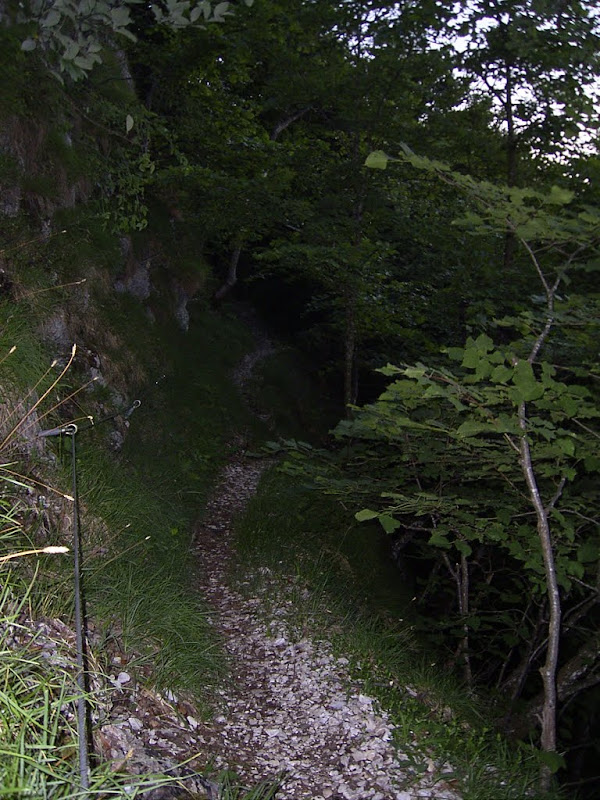
From the Pierre Taille you return on your tracks 50 meters to the south to take a path to the right which leads to the Pas de Chatillon. This steep track is protected by a cable in places.
A more direct route from the Pierre Taille is marked on the map but would have to wait for another exploration. The pas de Chatillon actually gains 20 meters before turning north and descending to the sources des Eaux Belles. The path is steep and earthy and not well defined in places. I’d wanted to descend to the reservoir at 501 meters but the path crosses a stream, well more a raging torrent so I walked down to the filtration station then followed the road (no footpath) to return to the car-park. The area needs a further explore when I have more time.