With another 40cm of fresh snow down to 900m altitude Thursday was the day to be out ski touring or off piste skiing. However the weather wasn’t great and I was working up in GVA. Friday looked sunnier but reports from Thursday afternoon suggested the snow was already getting crusty under the action of both wind and sun, at least at lower altitudes. Higher up, above 2200m, the wind had formed new slabs and the avalanche risk of Considerable seemed worthy of some respect.
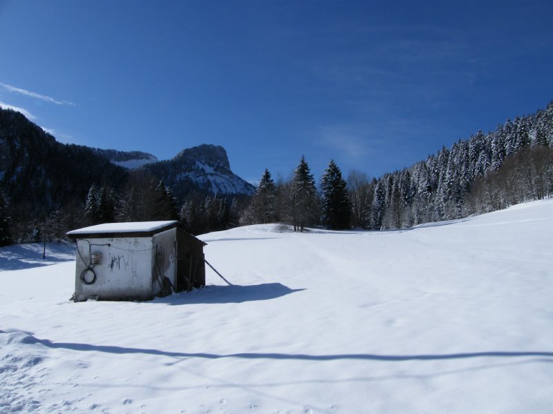
Old lift hut at la Ruchere and piste
So in this deadly winter it was off to the Chartreuse. This time to ski the Petit Som from la Ruchere which I had planned in December but there was no snow. On arriving at the village the snow had a 2cm breakable crust. It wasn’t looking good. The 2nd big problem I realized I had no map. So from memory I headed south through the woods to the col de la Ruchere with the idea of attacking the Som by the west couloir. This wasn’t the best plan as it was long and indirect. Still it gave me a look at the couloir.
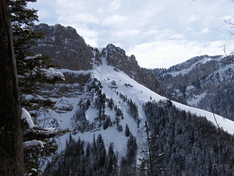
Which had purged on the right bank and was still in slightly slabby powder on the left bank. The couloir seemed much steeper than the 35 degrees claimed in some guides. At mid point I had to take off my skis and climb a narrow gulley on foot. I wasn’t keen on coming down this way. The west facing slopes were in crust powder on the n/w aspects and corn snow on s/w aspects. Once reaching the summit of the Som I realized that the normal route was the best bet down, it was in sun kissed powder.
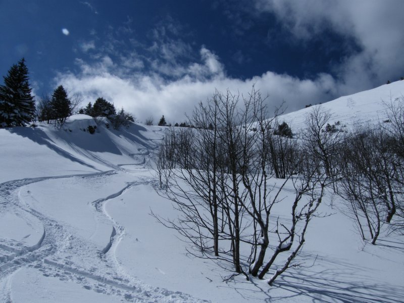
My nightmare crust had melted in the warm April sun so that at midday conditions were perfect. Some of the best skiing of the year followed through scented pine glades and forest trails.
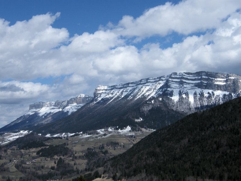
le Granier and le Pinet
Route Information.
Date skied: 2 April 2010
Avalanche Risk: 3 (principally purges below 2200m)
Mountain Range: Chartreuse
Depart: village of la Ruchère from the old downhill ski piste
Orientation : N
Vertical : 652 m.
Toponeige ratinng: 2.1/E1/F
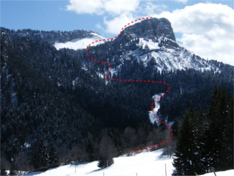
Follow the read dots
From the car park of the old drag lift at le Habert (farm and large car park) climb the old Charmette ski run to the south. At 2300 meters turn west to climb a steepish forest trail (risk of purges) to the Combe de Léchaud at 1445m. Turn south tothe Col de Léchaud, approach on the right bank (danger of slabs) From the col the summit at 1772 meters is a short climb to the west. You can ski straight off the summit in a north-easterly direction.