This is an archive of the old PisteHors.com forum

News | Gear | Ski Areas | Hiking | Mountain Biking
Powered by Google™
   
1 of 2
1
December 2007 Snow Conditions
Posted: 02 December 2007 09:06 PM  
Administrator
RankRankRankRank
Total Posts:  2234
Joined  2003-10-24

The outlook for the first week of December is snow over the Alps. 50-70cm is forecast over 48 hours up until Tuesday night. This will be accompanied by very strong winds gusting to 120-140km/h. On Monday the snowline will drop temporarily to 700 meters before climbing to 1500 / 1800 meters on Tuesday. Warm air will dominate throughout the week.

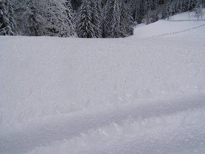
The avalanche risk in the Northern French Alps will move to High on Monday during the day. Fresh slabs will form under the influence of the strong winds and these will be sitting on a snowpack that has been fragilized by the recent cold weather at altitude. Backcountry travellers should be extremely cautious. More snow is expected at altitude throughout the week bringing the total to around 1meter.

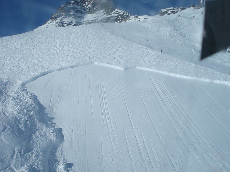
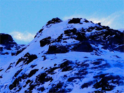
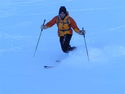
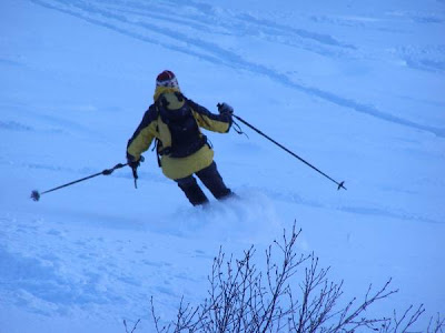
The best ski touring conditions are currently around the col du Lauteret/Briancon area with some tourng in the Haute-Maurienne and Chablais. There is a good base in the central Pyrenees above 2200 meters. The snowline in the Northern Alps is around 1600-1700 meters. 1200 meters in the Jura.


Posted: 03 December 2007 10:01 AM   [ # 1 ]  
Administrator
RankRankRankRank
Total Posts:  2234
Joined  2003-10-24

It was a very blustery night down here in the Chartreuse with a lot of rain, quite warm, 7C at 400m this morning with the zero iso round about 1500m. There was fresh snow from 1400m falling to 1200m in the Savoie and 900m in the Jura (yes I drove to Geneva this morning). Temperatures are above average for the start of December but the fresh snow should get the resorts up and running. Meteo France warns that lower parts of glaciers are still not properly covered so snow bridges.

This week winds will be from the West turning South-Westerly so watch out for fresh slabs on North-West to East sector slopes. Time to be very careful off-piste or ski touring.


Posted: 03 December 2007 05:03 PM   [ # 2 ]  
Newbie
Rank
Total Posts:  8
Joined  2007-10-25

Indeed it looks very snowy and windy for the forseeable future.

The GFS forecast for the next 10 days is here:
http://www.weatherunderground.com/modelmaps/maps.asp?model=GFS&domain=EU
At the moment the depressions come think and fast over the next 10 days, with no significant break in the weather due until next Friday.  Note, however, that I’ve found the GFS model to be completely unreliable beyond 7-8 days. 

At this rate we should have a couple of meters of snow by Christmas!

Tom


Posted: 03 December 2007 06:30 PM   [ # 3 ]  
Administrator
RankRankRankRank
Total Posts:  2234
Joined  2003-10-24

I would estimate the snow line to be about 800 meters on the west side of the Jura today. There is probably another 40cm up top but it is still a bit high. I chucked my skis in the car when I left Grenoble this morning just in case but don’t think there is much realistic to do just yet - maybe the col de Faucille to Mont Rond. I will have to check out the webcams.

Checking the Avy bulletins they suggest around 70cm of fresh snow in the Haute-Savoie above 2300m with significant fresh snow in the Haute-Maurienne (always great early season). They say risk should be treated as “Considerable” above 2000 meters and are advising against off-piste travel until Thursday. Given the stormy nature of the winds all slope aspects are suspect close to ridges, cols and summits with purges expected on steeper south facing slopes Wednesday with the return to good weather. Be careful out there!


Posted: 07 December 2007 03:48 PM   [ # 4 ]  
Administrator
RankRankRankRank
Total Posts:  2234
Joined  2003-10-24

We have had a warm week with the zero isotherm even touching 3100 meters at one point. It has been raining below 1600-2000m over the last 24 hours with around half a meter of fresh snow above 2000 meters in the Belledonne and Ecrins so expect a lot of avalanche activity. Earlier in the week we were buffeted by some very high winds which have transported a lot of snow.

The snow earlier in the week in the Southern Alps resulted in the first avalanche fatalities in France this season.

http://pistehors.com/news/ski/comments/0781-backcountry-snowboarders-killed-by-avalanche-in-southern-france/

There is not much fresh snow in the Pyrenees or Corsica yet. Overall the conditions look very sketchy for anyone skiing this weekend.


Posted: 09 December 2007 08:49 PM   [ # 5 ]  
Administrator
RankRankRankRank
Total Posts:  2234
Joined  2003-10-24

The total fresh snow above 2200 meters to Monday morning in the Northern French Alps and Hautes Alpes departments is expected to total over 1 meter. This is coupled with some strong winds at altitude. There has also been a lot of graupel (at least in the Isere mountains) which will form a sliding layer for any slabs that sit on top. The avalanche risk will move to HIGH (4/5) over the whole area above this altitude. Careful route planning is essential if you are going outside of open and marked ski runs and travel should be restricted to lower angled routes which are not threatened by avalanche paths.

French bulletins are now being updated daily for the Savoie (daily updates are expected to start for other departments this coming week), you can find our automatic translations here:

http://pistehors.com/backcountry/wiki/Avalanches/Avalanche-Bulletin

The good news is that the snow level is down to 900-1000 meters in the pre-Alpes with heavy snow which, if it stays cold, may finally form our base at mid-Altitudes.

[ Edited: 09 December 2007 09:20 PM by davidof]
 
 
Posted: 10 December 2007 09:58 AM   [ # 6 ]  
Administrator
RankRankRankRank
Total Posts:  2234
Joined  2003-10-24

Some figures for the last 48 hours:
les Deux Alpes: +80cm snow
Belledonne (2200m): +60cm
Col du Porte (1350m): +20cm

There has been a lot of wind at altitude so that some ridgelines and summits are bare. That snow has gone somewhere, onto lee slopes. The wind has been west to north west so I would expect to see a lot of snow piled onto North to East facing slopes where there are weak layers and also the graupel (round pellets) that fell yesterday.


Posted: 11 December 2007 11:20 AM   [ # 7 ]  
Administrator
RankRankRankRank
Total Posts:  2234
Joined  2003-10-24

Continued overnight snow, since the start of the weekend we now have
+50cm @ 1350m
+90cm @ 2200m
+90 @ 3000m
+60cm @ 2400m in the Central Pyrenees.

with the snow-line down to 900 meters in the Northern Alps, lower in the Jura/Vosges and 900m in the Massif Central. The fresh snow has been accompanied by some very strong westerly winds. Expects lots of loading on lee slopes - all slope aspects at altitude given the force of the winds. We are now coming to the end of the current storm cycle with better weather moving in from the West today and tomorrow.

Time to be extra vigilant if you are going anywhere off-piste - the risk of skier triggered avalanches is high and generalized above 2000-2200 meters. There will also be some natural activity, particularly on southern slopes as the weather improves and given that some of the new snow is sitting directly on the ground


Posted: 13 December 2007 12:59 PM   [ # 8 ]  
Newbie
Rank
Total Posts:  1
Joined  2007-12-10

Sounds good.

Any word on whether La Grave is going to open a week early with all this snow about?


Posted: 19 December 2007 11:06 AM   [ # 9 ]  
Administrator
RankRankRankRank
Total Posts:  2234
Joined  2003-10-24

Hi Roo,

did you find out about la Grave? The website says 22nd December still so I guess no early opening.

The conditions off piste are a bit crusty now on west/south/east aspect slopes although there are some sheltered couloirs which don’t see much sun this time of year and some of the low angled stuff is okay. It was quite warm last Friday, zero isotherm around 2500 meters which didn’t help the snow and has led to a lot of sluffing on any slopes that caught the sun.


Posted: 19 December 2007 11:09 PM   [ # 10 ]  
Administrator
RankRankRankRank
Total Posts:  2234
Joined  2003-10-24

Here is a nice avalanche right on the edge of the ski runs, notice that it is well tracked

1197921278_2075005028BI.jpg

http://www.camptocamp.org/images/110094/it

Here are some interesting snow formations from the Chartreuse, reminding us how elastic snow is, up to a point

snow forms

we’ve also seen some full depth avalanches over the last few days, this photo from Eric Mutin taken in the Bauges

full depth avalanche

I suspect that meltwater got down to the base of the snow when it was very warm on Friday and this provided lubrication. As the snow is sitting directly on grass it could break away. A reminder that south faces are not always safer.

[ Edited: 19 December 2007 11:12 PM by davidof]
 
 
Posted: 21 December 2007 10:26 PM   [ # 11 ]  
Newbie
Rank
Total Posts:  1
Joined  2006-08-22

Last week I booked a hotel in La Grave for April and they told me they’d had 25cm of fresh snow on there terrace. I was up at St Pierre de Chartreuse on Sunday and there was no problem skiing back to the village - didn’t try out any off-piste as I didn’t have the company for it. Just happy to be skiing though!

The piste side avalanche shot is very sobering!

Happy Christmas all.


Posted: 22 December 2007 09:07 PM   [ # 12 ]  
Administrator
RankRankRankRank
Total Posts:  2234
Joined  2003-10-24

As a bit of trivia St Pierre is where extreme skier Patrick Vallencant learned to ski.

I was opposite today skiing a route off the back of the Roc d’Arguille. I took some photos which illustrate the situation at the moment.

Climbing up on the south-west side there was some tired and soggy powder in the forest then more crusty and windblown conditions although there was still some skiable snow. Around 1600m there was surface ice from the freeze-thaw cycle. This could be a nasty sliding plane after the next snowfall.

ice.jpg

From the summit I skied down some fairly gentle north-west slopes. Here there was good powder despite the last snow being over a week ago. The weather has been very cold and with the sun so low these slopes hardly get touched in the winter.

Below 1400 meters right down to Perquelin at 900 meters the snow has been destructured by the cold weather. There is a thick layer of surface hoar forms the whole snowpack in places. I’ve never seen so much of the stuff. The intense cold and inversion layer are the culprits. Look at this field

hoar-field.jpg

It is made up of these “fern” like crystals, they were around 5cm long. I’ve never seen them so big in France.

surface-hoar-1.jpg

Now these crystals are not a concern in themselves. The snow is very agreable to ski being similar to fresh powder although your skis make a whooshing sound as you ski through - which is why the Americans call it loud powder. However they are extremely fragile. If you excavate a bit then touch the surface the whole column collapses. This fragility means they can be easily destroyed by wind or rain but if fresh snow falls without wind or a rain episode at the start of the cycle they are an extremely dangerous weak layer and something to watch over the coming weeks.

surface-hoar-2.jpg

As you can see here they are similar in structure to depth hoar, another weak layer. Depth hoar crystals are a lot more resilient.

So generally north-west to north-east slopes are very skiable at the moment. South to east slopes have a lot of sun crust and are not wonderful until softened by the sun.


Posted: 28 December 2007 08:47 PM   [ # 13 ]  
Administrator
RankRankRankRank
Total Posts:  2234
Joined  2003-10-24

Snow should be moving in on Saturday, reaching the Jura in the late afternoon and the Alps by midnight. A few cm are expected through to Sunday afternoon with the return to calmer weather on Monday but with a very cold north wind at altitude. In short not much evolution.


Posted: 30 December 2007 11:27 AM   [ # 14 ]  
Administrator
RankRankRankRank
Total Posts:  2234
Joined  2003-10-24

Yesterday we were ski touring in the Combe de Gleyzin in the Belledonne

A couple of weeks after the last snow and we still found a nice covering of powder on the shaded slopes

anny.jpg

for 1400 m of pure pleasure

bernard.jpg

This is Yves ripping it up, not the steepest of slopes - all around 30 degrees.

yves.jpg

It snowed overnight, around 10cm at 2200 meters altitude, this should improve conditions a tiny bit but there shouldn’t be much change in the stability of the snow pack. Yesterday we noted a number of full depth avalanches on south facing grassy slopes and purges on steep couloirs. There were also a couple of very thin slab avalanches on some convex n/e slopes - probably about 10-20cm deep. All the avalanche activity looked quite old, before the small snowfall of last weekend.


Posted: 31 December 2007 07:47 PM   [ # 15 ]  
Administrator
RankRankRankRank
Total Posts:  2234
Joined  2003-10-24

For the final trip of 2007 we decided to head out to the Bartlet Mountain, in particular the north-west bowl which is access via a narrow and steep couloir. The avalanche risk was announced as considerable - given the good base and the little snow - maybe 10cm at 2000 meters this seemed a little surprising but there was a strong wind from the north to north - east which wind transport clearly evident.

wind-transport.jpg

The accumulations were regularly purging into the bowl we were climbing.

spindrift.jpg

Snow was varied. Slabby on south to west slopes we traversed. We noticed graupel at 1900 meters then a mix of soft and hard slabs. The soft slabs were sitting on a hard crust which was a good sliding surface. We didn’t approach the side of the bowl with the purges but there were some large accumulations.

luc-2.jpg

Luc enjoyed his telemark skis.

anny.jpg

and Anny found snow to her taste although there was some avalanche debris underneath

luc.jpg

The crux couloir is around 40 degrees, we had to climb this on foot as the fresh snow was just sliding off the hard base. I was last down and managed to purge the whole couloir riding the wave to the bottom, lucky I had radioed down to Luc to ask him and Anny to get out of the fall line. I was surprised at the power of the flow given that it was only the top 15cm of snow.

So the Considerable risk was well merited even if the slabs we found were not too deep… a large face with a terrain trap could be nasty. As just a quick note we changed out initial object and chose this route while climbing as it was the slope least in the lee of the wind.


1 of 2
1