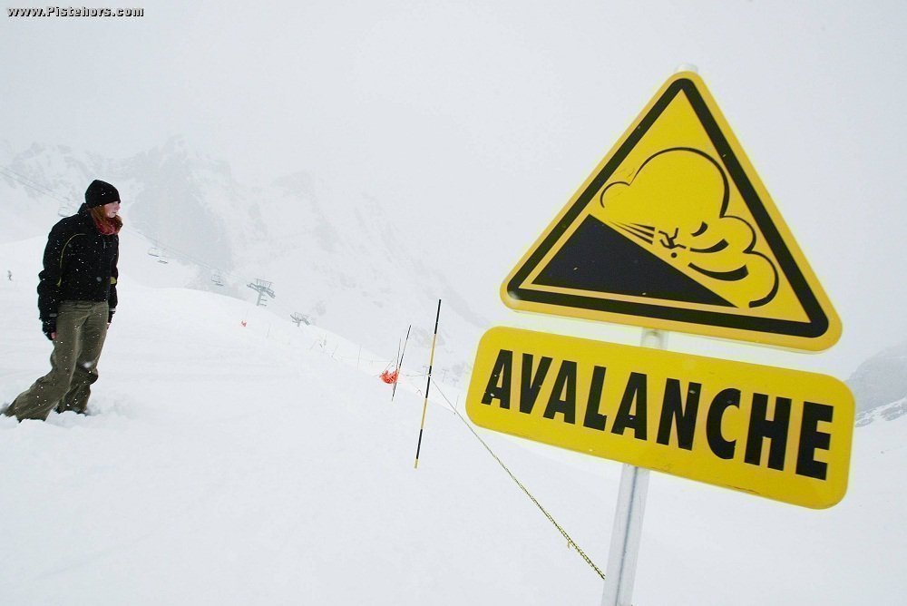
Meteo France has issued a snow and avalanche alert for the Pyrenees, SE Alps and Massif Central for the weekend 27-28 February. A low pressure system tracking across the Mediterranean will bring significant snowfall above 1000 to 1500 meters in the Pyrenees and frontier regions of the Alps, in particular the SE Alps as well as the southern half of the Massif Central (Cévennes). Strong winds will create snow drifts and localized accumulations. The avalanche risk will increase to High or Considerable.
For the Pyrenees the snowfall will start on Saturday in the West moving across the range and leading to an increased risk of avalanche. However, in view of the envisage quantity of new snow and a snowpack that is already fairly well stabilized natural activitity will be limited, taking only the new snow layers.
In the extreme south of the French Alps and in the frontier regions with Italy the avalanche risk will be HIGH on Sunday. There will be a lot of natural avalanche activity of the recent snowfall in these mountain ranges, especially during snow fall. In the Mercantour and in the frontier zones where the amount of snow is greater, some of these avalanches could be large and cross highways.
In the remainder of the Southern Alps and the Savoie the snowfall will be less but it will be transported by very strong winds during the weekend. The principal avalanche risk is that of skier triggered slabs, the risk will be Considerable throughout the weekend. Off piste skiers, ask professionals in ski resorts for information and advice.
Traffic could be affected in the Pyrenees and southern Massif Central and Southern Alps above 800 to 1000 meters on Saturday. In the Northern Alps snow will only arrive in the Haute-Maurienne late in the day
Predicted Snowfall until Monday 7am.
Alps
Frontier zones, in particular in the south (Mercantour, East-Queyras, Haut-Var/Haut-Verdon, Haute-Maurienne) : 40 à 60 cm, locally 80 cm, >1200m
60 to 80 cm, locally 100cm (in the Mercantour) >1800m
Lombardy Wind (east wind from Italy) will blow strongly at altitude drifting snow.
Rest of the Alps (NW and W, e.g. Aravis, Vercors, Devoluy...) : 10 à 20 cm, locally 30 cm >1500m
Pyrenees
50 to 80 cm in the two thirds to the W, 30 to 40 cm in the E >1800m
Cévennes
30 to 50 cm, locally 60/80 cm with drifts (heavy snowfall and wind on Saturday) >1000m
For the rest of the Massif central (Puys, Cantal) much less affected : 10/20 cm
Very little snow in the Jura and the Vosges.
Corsica
Heavy snowfall is expected in Corsica until Monday evening above 1400 to 1700 meters with a risk of avalanche at higher altitudes. 60 to 80cm of fresh snow is expected above 2000 meters.
The Haute-Savoie prefecture has warned of increased avalanche risk in the Mont-Blanc range due to recent snowfall and a strengthening foehn wind from Friday creating large accumulations of snow. The prefecture has warned backcountry travellers to take care and ask advice from professionals if in any doubt.
